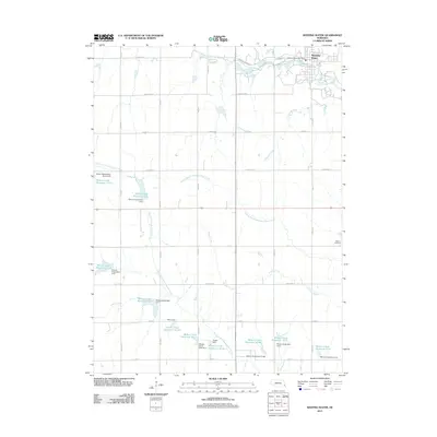
2011 Map of Weeping Water
USGS Topo · Published 2011About this map
Weeping Water anchors the northern edge of this agricultural landscape, situated along the winding path of Weeping Water Creek. The town's grid is serviced by the Weeping Water Post Office, while the surrounding countryside is defined by an extensive water management system. A network of dams and reservoirs, including Wilson Creek Reservoir 12-S and Wilson Creek Reservoir 11-A, illustrates the intensive hydrological control of the Wilson Creek and North Fork Little Nemaha River watersheds.
Find a feature on this map
37 named features on this map. Tap any name to fly to it.
Don’t see what you’re looking for? This feature index may not catch every label — zoom into the map to look around manually.
Map Details
Editions of this 2011 Weeping Water Map
This is the sole edition of this map. No revisions or reprints were ever made.
Other maps of this area

1903 · Weeping Water
USGS Topo · 1:125,000

1929 · Weeping Water
USGS Topo · 1:125,000

1955 · Lincoln
USGS Topo · 1:250,000
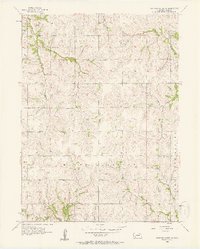
1956 · Weeping Water NE
USGS Topo · 1:24,000

1957 · Lincoln
USGS Topo · 1:250,000

1958 · Lincoln
USGS Topo · 1:250,000
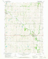
1966 · Dunbar
USGS Topo · 1:24,000
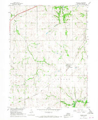
1966 · Murdock
USGS Topo · 1:24,000
1966 · Avoca
USGS Topo · 1:24,000
1966 · Elmwood
USGS Topo · 1:24,000