2000s (21st Century) Maps of Clay County, Nebraska
Explore 80 historic maps of Clay County from the 2000s (21st Century). These maps offer a rare glimpse into what life looked like during the 2000s — showing old roads, neighborhoods, homes, and landmarks that have changed or disappeared over time.
Whether you're researching your family's past, planning a metal detecting trip, or studying how Clay County's landscape evolved across the 2000s, these high-resolution maps are a powerful tool for exploring the history of this region.
- Focus on a specific era: All maps on this page are from the 2000s, giving you a focused view of this time period.
- See what’s changed: Compare century-old streets, trails, and buildings to today's modern landscape using overlays and satellite layers.
- Research with precision: Use these maps for genealogy, historical research, land use analysis, or educational projects.
- View, download, or print: Maps are fully viewable online in high resolution, and can be downloaded or printed for your own records.
Start exploring Clay County's history through authentic maps from the 2000s. This is your window into the past.
Clay County, NE maps
(80)- 2011 Map of Edgar, 2011 Print
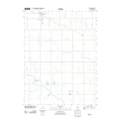 2011 Edgar2011 Print · USGSClay County at the start of the decade reveals a highly managed agricultural landscape defined by its vital water resources and grid-based settlements. Researchers can trace the layout of Edgar, locate the Edgar Cemetery, and map the course of the Little Blue River through the plains.
 - 2011 Map of Edgar NW, 2011 Print
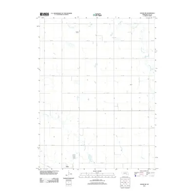 2011 Edgar NW2011 Print · USGSThe rural prairie around Edgar is captured here during the early twenty-first century, showing the intersection of town life and sprawling Nebraska farmland. Genealogists and local historians can locate Evergreen Cemetery and trace the paths of Big Sandy Creek and Little Sandy Creek.
 - 2011 Map of Bixby, 2011 Print
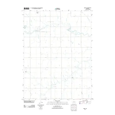 2011 Bixby2011 Print · USGSFillmore County at the start of the 2010s shows a landscape of steady agriculture and local aviation. Genealogists and historians can trace the rural grid around Bixby to find Farmers Valley Cemetery, Traudt Airport, and the winding School Creek.
 - 2011 Map of Ong, 2011 Print
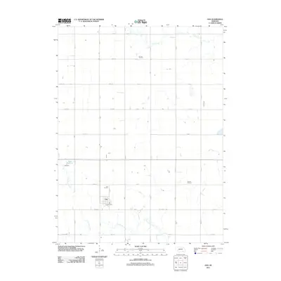 2011 Ong2011 Print · USGSThe village of Ong and its surrounding Clay County section-line roads are captured here in the early twenty-first century. Family historians can locate several burial sites including the Fairview Cemetery, Swedish Cemetery, and the Ong Cemetery near the local Ong Post Office.
 - 2011 Map of Davenport, 2011 Print
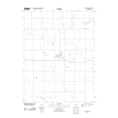 2011 Davenport2011 Print · USGSDavenport and the surrounding Thayer County plains are captured here in the early twenty-first century as a landscape of structured agriculture and water management. Researchers can trace the drainage of Big Sandy Creek, locate the rural Carlisle area, and identify local landmarks like Schroeder Reservoir or Grone Airport.
 - 2011 Map of Stockham, 2011 Print
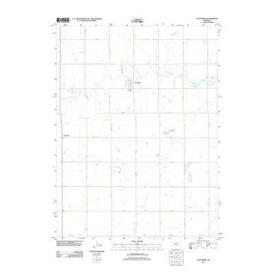 2011 Stockham2011 Print · USGSThe rural landscape surrounding Stockham is captured here during the early twenty-first century, showing the enduring grid of Nebraska's farm country. Genealogists and local historians can trace family locations near the Stockham Cemetery, Eldorado, and the banks of the West Fork Big Blue River.
 - 2011 Map of Sutton, 2011 Print
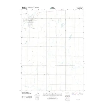 2011 Sutton2011 Print · USGSSutton and its surrounding Clay County farmlands are captured here in the early twenty-first century. Genealogists and local historians can locate Sutton Cemetery and Calvary Cemetery, or trace the path of School Creek as it brushes the town's northern edge.
 - 2011 Map of Inland, 2011 Print
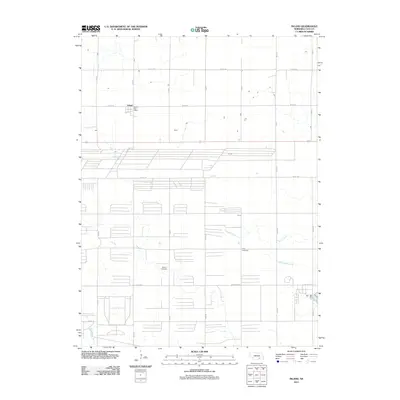 2011 Inland2011 Print · USGSClay County at the start of the 2010s reveals a structured agricultural landscape centered on the village of Inland. Researchers can pinpoint family history at the Glenvil Cemetery and Zion Cemetery or trace the rural water network of School Creek and Little Sandy Creek.
 - 2011 Map of Lawrence, 2011 Print
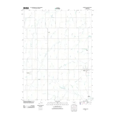 2011 Lawrence2011 Print · USGSNuckolls County agriculture and small-town life are preserved here in the early twenty-first century. Genealogists and local historians can trace family ties at the Oak Creek Cemetery and Presbyterian Cemetery or locate old community centers like Rosemont and Saint Stephens.
 - 2011 Map of Fairfield, 2011 Print
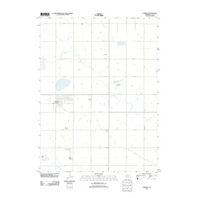 2011 Fairfield2011 Print · USGSFairfield and the surrounding Clay County farmsteads are shown in detail during the early 21st century. Researchers can locate family sites near the Fairfield Cemetery and trace local water systems like Big Sandy Creek and the Harms-Skalka Reservoir.
 - 2011 Map of Fairfield SE, 2011 Print
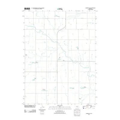 2011 Fairfield SE2011 Print · USGSNuckolls County agriculture and water management are at the forefront of this early twenty-first-century survey. Researchers can trace rural family legacies through locations like Pleasant Hill Cemetery and private landmarks such as Jones Reservoir or Drudik Reservoir.
 - 2011 Map of Trumbull, 2011 Print
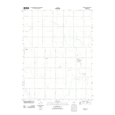 2011 Trumbull2011 Print · USGSThe rural landscape near Trumbull and Hansen is captured here during the early twenty-first century as the traditional farming grid meets the Blue River. Genealogists and local historians can locate Greenwood Cemetery, the Trumbull Post Office, and the waters of Arnold Reservoir 1.
 - 2011 Map of Pauline, 2011 Print
 2011 Pauline2011 Print · USGSThe rural landscape around Pauline in the early twenty-first century remains deeply connected to its pioneer roots. Local historians can trace the paths of legendary westward routes along E Oregon Trail Rd and E Pony Express Rd near the Little Blue River.
 - 2011 Map of Harvard, 2011 Print
 2011 Harvard2011 Print · USGSClay County at the start of the 2010s shows a landscape of established agricultural tradition and organized township grids. Researchers can trace the civic hearts of Harvard and Clay Center, locating the Clay Center Cemetery and the waterways of School Creek.
 - 2011 Map of Harvard NE, 2011 Print
 2011 Harvard NE2011 Print · USGSClay County at the start of the 2010s reveals a structured landscape of section-line roads and managed waterways. Family historians and researchers can locate the Franklin Cemetery and Norwegian Cemetery or trace the drainage of the West Fork Big Blue River.
 - 2011 Map of Hastings East, 2011 Print
 2011 Hastings East2011 Print · USGSThe eastern outskirts of Hastings and the surrounding Nebraska farmlands are captured here in the early 2010s. Researchers can locate family roots at Mount Sinai Cemetery or trace old rural communities like Level and Glenvil.
 - 2011 Map of Fairfield NW, 2011 Print
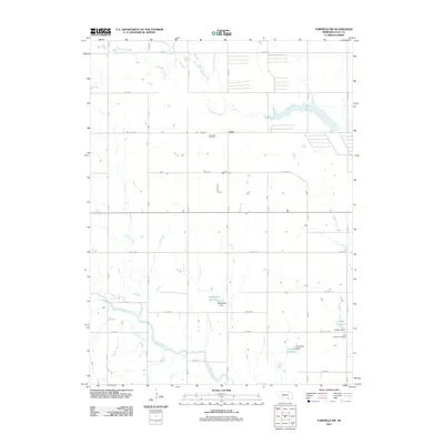 2011 Fairfield NW2011 Print · USGSClay County's rural landscape is captured here in the early twenty-first century, showing a region defined by agricultural traditions and family-named landmarks. Researchers can locate the Anandale Cemetery near Anan or trace the course of the Little Blue River.
 - 2011 Map of Harvard NW, 2011 Print
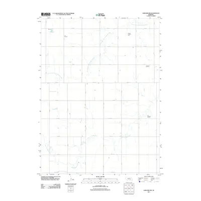 2011 Harvard NW2011 Print · USGSClay County at the start of the twenty-first century is a landscape of highly organized agriculture and winding river forks. Family historians can locate several rural burial sites like Case Cemetery and Greenwood Cemetery near the West Fork Big Blue River.
 - 2011 Map of Deweese, 2011 Print
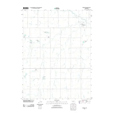 2011 Deweese2011 Print · USGSDeweese and the surrounding Clay County plains appear in this 2011 survey as a carefully managed agricultural landscape. Researchers can trace local lineage at Liberty Creek Cemetery or locate the Deweese Post Office near the Little Blue River.
 - 2011 Map of Saronville, 2011 Print
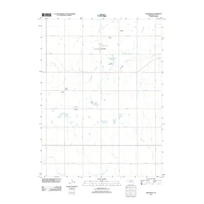 2011 Saronville2011 Print · USGSClay County at the start of the decade reveals a settled agricultural landscape centered on the small hubs of Saronville and Verona. Genealogists can trace family roots through several local sites including the Verona Baptist Cemetery and Saron Cemetery.
 - 2014 Map of Pauline, 2014 Print
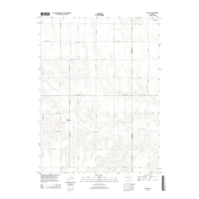 2014 Pauline2014 Print · USGSThe rural border of Adams and Clay counties comes into focus in this modern survey of the Nebraska prairie. Genealogists and local historians can trace family land around the Little Blue River and the settlements of Pauline and Glenvil.
 - 2014 Map of Inland, 2014 Print
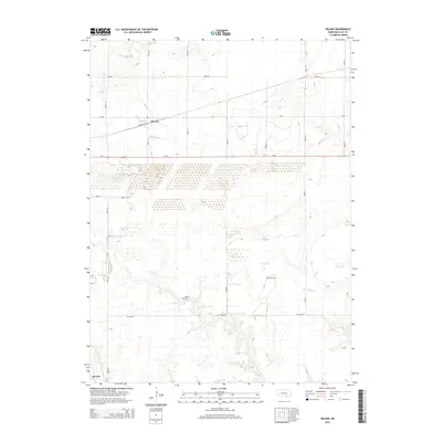 2014 Inland2014 Print · USGSThe agricultural heart of Clay County is captured in the 2010s, showing a meticulously gridded landscape of township roads and prairie streams. Genealogists and local historians can locate permanent landmarks like Zion Cem and Glenvil Cem alongside the waters of School Cr.
 - 2014 Map of Harvard, 2014 Print
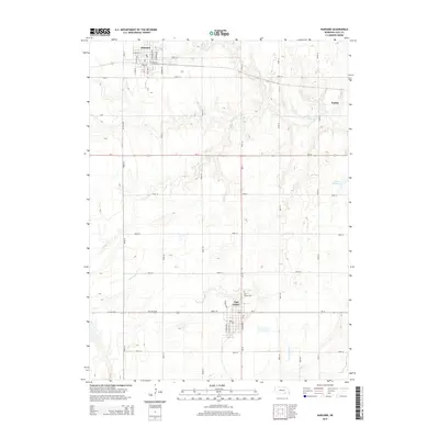 2014 Harvard2014 Print · USGSClay County's agricultural heartland is documented here in the early twenty-first century, centered on the communities of Clay Center and Harvard. Researchers can trace local landmarks and property boundaries near the Clay Center Cem, Hultine Reservoir, and along the banks of School Cr.
 - 2014 Map of Hastings East, 2014 Print
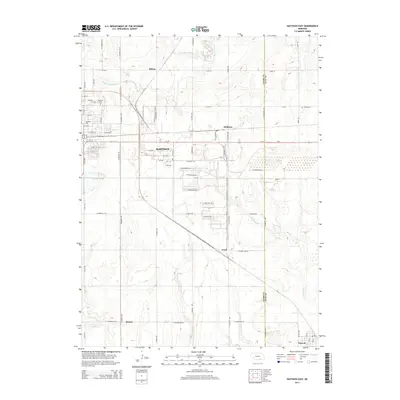 2014 Hastings East2014 Print · USGSAdams County in the early twenty-first century reveals a landscape where the eastern edges of Hastings meet the vast Nebraska plains. Genealogists and local historians can trace legacy sites like Mt Sinai Cem and Parkview Cem or locate the rural corners of Blaine and Level.
 - 2014 Map of Harvard NE, 2014 Print
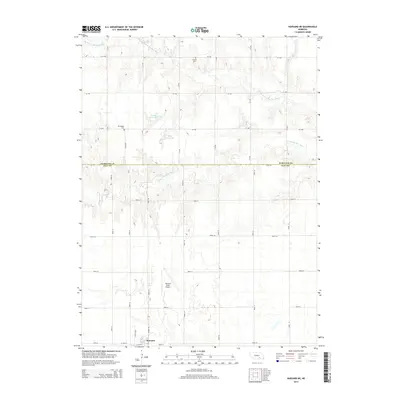 2014 Harvard NE2014 Print · USGSThis Clay County landscape in the early twenty-first century reveals a deeply organized grid of section roads and prairie waterways. Genealogists and local historians can locate early burial sites at Norwegian Cem or trace the drainage of the W Fork Big Blue River near Harvard.
Showing maps 1-25 of 80
Top cities of Clay County
- Sutton historical maps
- Harvard historical maps
- Clay Center historical maps
- Edgar historical maps
- Fairfield historical maps
- Glenvil historical maps
See more
Frequently asked questions
- What are the different types of historical maps available for Clay County?
- What is the oldest map of Clay County?
- Where can I purchase historical maps of Clay County for my home or office?
- Where can I download high-res historical maps of Clay County?
- Are there historical topographic maps available for Clay County?
- Is there historical aerial imagery available for Clay County?
- Where are historical maps of Clay County sourced from?