2010s Maps of Colfax County, Nebraska
Explore 36 historic maps of Colfax County from the 2010s. These maps offer a rare glimpse into what life looked like during the 2010s — showing old roads, neighborhoods, homes, and landmarks that have changed or disappeared over time.
Whether you're researching your family's past, planning a metal detecting trip, or studying how Colfax County's landscape evolved across the 2010s, these high-resolution maps are a powerful tool for exploring the history of this region.
- Focus on a specific era: All maps on this page are from the 2010s, giving you a focused view of this time period.
- See what’s changed: Compare century-old streets, trails, and buildings to today's modern landscape using overlays and satellite layers.
- Research with precision: Use these maps for genealogy, historical research, land use analysis, or educational projects.
- View, download, or print: Maps are fully viewable online in high resolution, and can be downloaded or printed for your own records.
Start exploring Colfax County's history through authentic maps from the 2010s. This is your window into the past.
Colfax County, NE maps
(36)- 2011 Map of Humphrey SE, 2011 Print
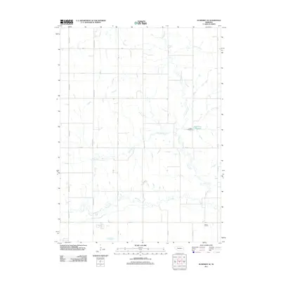 2011 Humphrey SE2011 Print · USGSThe Nebraska prairie of Platte County is captured here in the early twenty-first century, showing a landscape defined by Shell Creek and an exacting road grid. Genealogists and local historians can locate Calvary Cemetery and trace the waters of Loseke-Frese Reservoir.
 - 2011 Map of Creston, 2011 Print
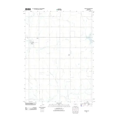 2011 Creston2011 Print · USGSThe village of Creston and its surrounding farmstead grid are documented here in the early 2010s. Genealogists can locate Fairview Cemetery and Creston Pioneer Cemetery or trace the routes of Meridian Creek.
 - 2011 Map of Clarkson, 2011 Print
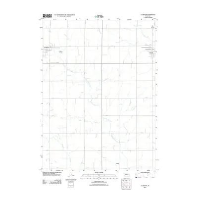 2011 Clarkson2011 Print · USGSColfax County's farming heartland is documented here in the early 2000s, showing the structured grid of rural roads between established rail-era towns. Researchers can locate civic landmarks like the Clarkson Post Office and Saint Johns Cemetery or trace the winding West Fork Maple Creek.
 - 2011 Map of Clarkson SE, 2011 Print
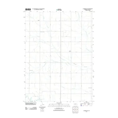 2011 Clarkson SE2011 Print · USGSColfax County's agricultural heartland is documented here in the early twenty-first century, showing a landscape defined by prairie streams and section-line roads. Researchers can locate several burial sites including Sousek Cemetery, Tollman Cemetery, and Saint Johns Cemetery.
 - 2011 Map of Columbus, 2011 Print
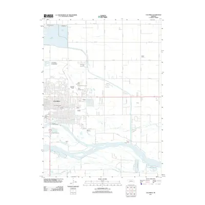 2011 Columbus2011 Print · USGSColumbus sits at the junction of two great river systems in the early twenty-first century, showing a town built on water and aviation. Researchers can locate family roots at the Catholic Cemetery or trace the development of Behlen and Sheldon Camp.
 - 2011 Map of Leigh, 2011 Print
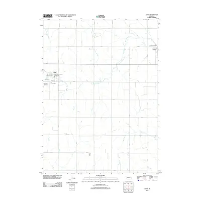 2011 Leigh2011 Print · USGSColfax County's prairie grid and rural settlements are preserved here as they appeared in 2011. Genealogists and local researchers can locate numerous family burial sites, including Bohemian Cemetery and Zion Cemetery, alongside the Colfax County Fairgrounds.
 - 2011 Map of Clarkson SW, 2011 Print
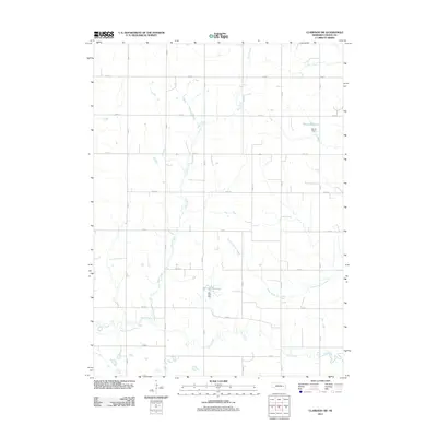 2011 Clarkson SW2011 Print · USGSColfax County at the start of the 2010s shows a landscape of precision-gridded section roads and vital prairie waterways. Researchers can trace the winding course of Shell Creek and locate local water management features like Bur Oak Reservoir and Ternes Dam.
 - 2011 Map of Richland, 2011 Print
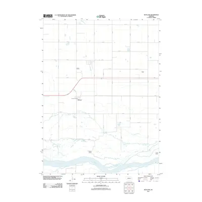 2011 Richland2011 Print · USGSThe village of Richland and the braided Platte River valley are captured here during the early twenty-first century. Researchers can trace local heritage at the Richland Cemetery, locate the Richland Post Office, or study the riparian geography of Lake McAllister and Hewitt Island.
 - 2011 Map of Schuyler, 2011 Print
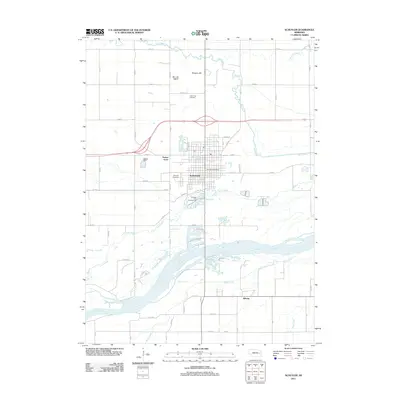 2011 Schuyler2011 Print · USGSSchuyler and its surrounding Platte River bottomlands are captured here in the early twenty-first century. Researchers can trace the development of the city center near the Schuyler Post Office or locate family plots at Holy Cross Cemetery and Schuyler Cemetery.
 - 2011 Map of Rogers, 2011 Print
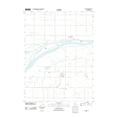 2011 Rogers2011 Print · USGSThe Platte River valley in eastern Nebraska is shown here as it appeared in the early 2010s. Genealogists and local historians can locate early settlement markers like Dawson Cemetery and the Linwood Post Office, or trace the winding course of Skull Creek.
 - 2011 Map of Dodge, 2011 Print
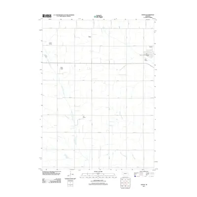 2011 Dodge2011 Print · USGSThe village of Dodge and its surrounding agricultural township are documented here in the early twenty-first century. Genealogists can trace family sites at Saint Joseph Cemetery, Olean, and the rural Tabor Cemetery along the East Fork Maple Creek.
 - 2011 Map of Dodge SW, 2011 Print
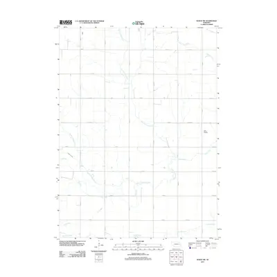 2011 Dodge SW2011 Print · USGSAgricultural Colfax County is captured here in the early twenty-first century, showcasing a landscape defined by its waterways and section-line roads. Genealogists can locate Saint Patricks Cemetery or trace the paths of Kasal Canal and Maple Creek.
 - 2014 Map of Schuyler, 2014 Print
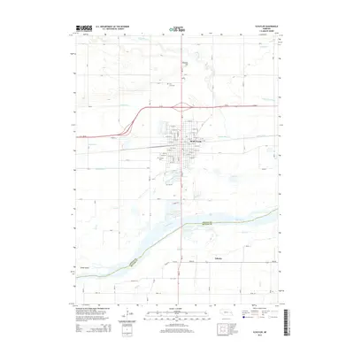 2014 Schuyler2014 Print · USGSThe fertile Platte River valley in eastern Nebraska is captured here during the mid-2010s, showing the intersection of river geography and rail-era settlement. Genealogists and local historians can trace family plots at Schuyler Cem or explore the drainage legacy of the Barnholdt Ditch and Tomek Island.
 - 2014 Map of Clarkson SE, 2014 Print
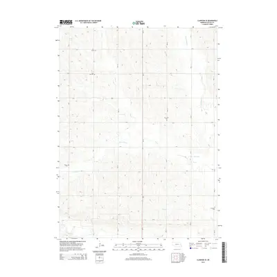 2014 Clarkson SE2014 Print · USGSSoutheast of Clarkson in the mid-2010s, this Colfax County landscape is a grid of section roads and quiet creek valleys. Genealogists can locate several rural burial grounds including Saint Johns Cem, Sousek Cem, and Grandview Cem.
 - 2014 Map of Leigh, 2014 Print
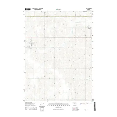 2014 Leigh2014 Print · USGSColfax and Stanton counties are shown here during the early twenty-first century, centered on the village of Leigh. Local historians can trace cemetery locations like Bohemian Cem and Saint Marys Cem along the W Fork Maple Cr.
 - 2014 Map of Creston, 2014 Print
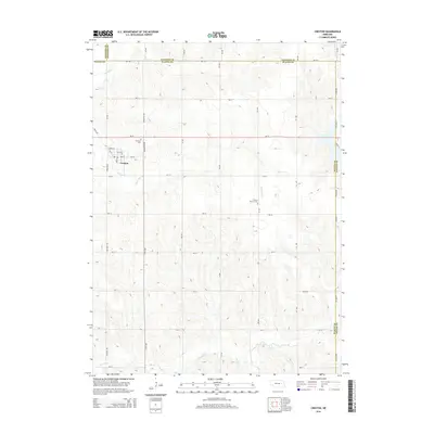 2014 Creston2014 Print · USGSThe village of Creston is shown at a mid-decade moment, surrounded by a landscape defined by the upper reaches of Meridian Cr. Local historians can trace family roots at Fairview Cem and find the distinctive Creston Pioneer Cem east of town.
 - 2014 Map of Clarkson SW, 2014 Print
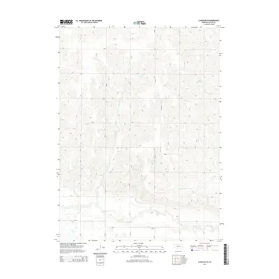 2014 Clarkson SW2014 Print · USGSColfax County's agricultural heartland is documented here during the early twenty-first century as a landscape of grid-aligned farms and prairie drainages. Researchers can trace the winding course of Shell Creek or locate local landmarks like Ternes Reservoir and Bur Oak Reservoir.
 - 2014 Map of Clarkson, 2014 Print
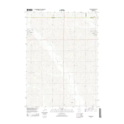 2014 Clarkson2014 Print · USGSEastern Nebraska farming communities thrive along the Maple Creek tributaries in the early twenty-first century. Genealogists and local researchers can trace family lands near Clarkson, Howells, and the rural burials at Saint Johns Cem.
 - 2014 Map of Humphrey SE, 2014 Print
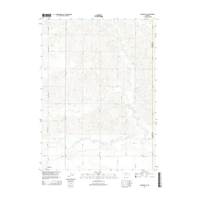 2014 Humphrey SE2014 Print · USGSPlatte County farm country is captured here during the mid-2010s, showing a landscape defined by its section-line roads and prairie creeks. Researchers can locate Calvary Cem and the settlement of Lakeview, or trace the path of Shell Cr.
 - 2014 Map of Columbus, 2014 Print
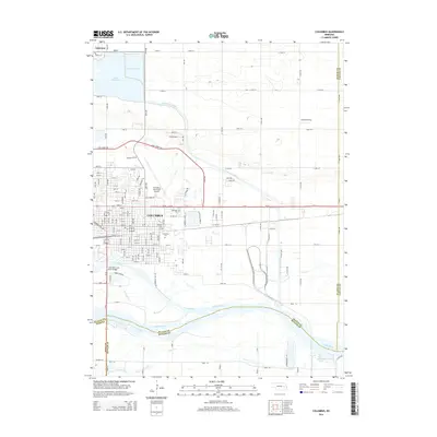 2014 Columbus2014 Print · USGSThe confluence of the Loup and Platte rivers defines this Nebraska community during its early 21st-century growth. Genealogists can locate family sites at the Columbus Cem and Roselawn Cem, while aviation history is marked by the Columbus Municipal Airport and Loseke Airstrip.
 - 2014 Map of Dodge, 2014 Print
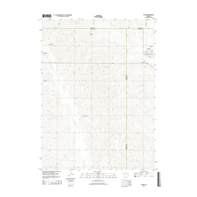 2014 Dodge2014 Print · USGSDodge and its surrounding farmsteads sit at a three-county intersection during the early twenty-first century. Genealogists can trace family names and locations through several rural landmarks, including Olean, Grove Hill Cem, and Tabor Cem.
 - 2014 Map of Rogers, 2014 Print
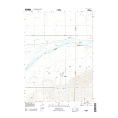 2014 Rogers2014 Print · USGSThe Platte River valley in east-central Nebraska is captured here, showing the river's complex island system and the agricultural communities on its banks. Researchers can find detailed cemetery locations like Dawson Cem and Saint Marys Cem near Linwood.
 - 2014 Map of Richland, 2014 Print
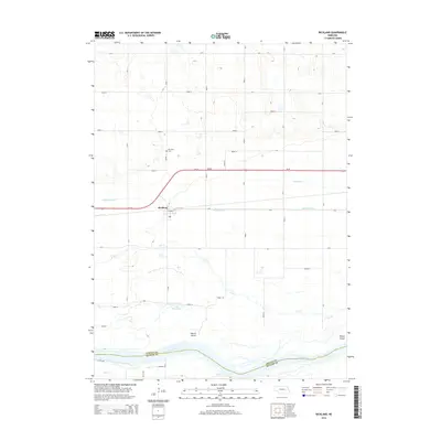 2014 Richland2014 Print · USGSThe Platte River valley in eastern Nebraska comes into focus in the early twenty-first century, showing the intersection of transport and irrigation. Genealogists and local historians can locate the Richland Cem and trace the paths of Lost Cr and the Platte River.
 - 2014 Map of Dodge SW, 2014 Print
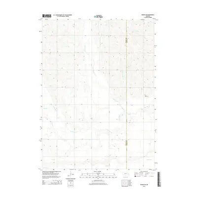 2014 Dodge SW2014 Print · USGSThe rural border of Colfax and Dodge counties comes into focus in this modern survey of the Maple Creek watershed. Genealogists can locate Saint Patricks Cem, while researchers can trace local water features like Kasal Canal and Rawhide Cr.
 - 2017 Map of Dodge SW, 2017 Print
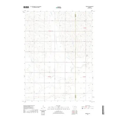 2017 Dodge SW2017 Print · USGSNortheastern Nebraska farmland shows its intricate water network and rural township structure in the mid-2010s. Genealogists and local historians can trace family land near Saint Patricks Cem or follow the paths of Kasal Canal and Maple Creek.
Showing maps 1-25 of 36
Top cities of Colfax County
- Schuyler historical maps
- Clarkson historical maps
- Howells historical maps
- Leigh historical maps
- Rogers historical maps
- Richland historical maps
Frequently asked questions
- What are the different types of historical maps available for Colfax County?
- What is the oldest map of Colfax County?
- Where can I purchase historical maps of Colfax County for my home or office?
- Where can I download high-res historical maps of Colfax County?
- Are there historical topographic maps available for Colfax County?
- Is there historical aerial imagery available for Colfax County?
- Where are historical maps of Colfax County sourced from?