2020s Maps of Dawson County, Nebraska
Explore 28 historic maps of Dawson County from the 2020s. These maps offer a rare glimpse into what life looked like during the 2020s — showing old roads, neighborhoods, homes, and landmarks that have changed or disappeared over time.
Whether you're researching your family's past, planning a metal detecting trip, or studying how Dawson County's landscape evolved across the 2020s, these high-resolution maps are a powerful tool for exploring the history of this region.
- Focus on a specific era: All maps on this page are from the 2020s, giving you a focused view of this time period.
- See what’s changed: Compare century-old streets, trails, and buildings to today's modern landscape using overlays and satellite layers.
- Research with precision: Use these maps for genealogy, historical research, land use analysis, or educational projects.
- View, download, or print: Maps are fully viewable online in high resolution, and can be downloaded or printed for your own records.
Start exploring Dawson County's history through authentic maps from the 2020s. This is your window into the past.
Dawson County, NE maps
(28)- 2021 Map of Gothenburg SW, 2021 Print
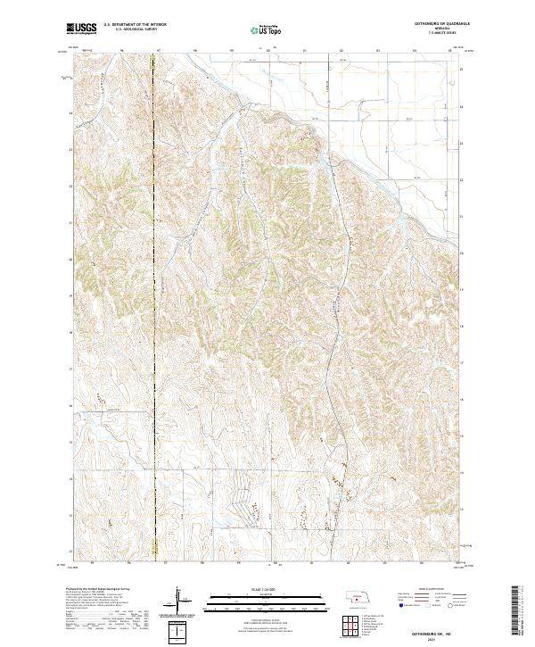 2021 Gothenburg SW2021 Print · USGSDawson County agriculture and irrigation are on full display in this 2021 survey of the Platte River valley uplands. Researchers can trace the massive Tri-County Supply Canal and Thirtymile Canal as they navigate the ridges above Hiles Canyon and Wiggens Canyon.
 - 2021 Map of Eustis, 2021 Print
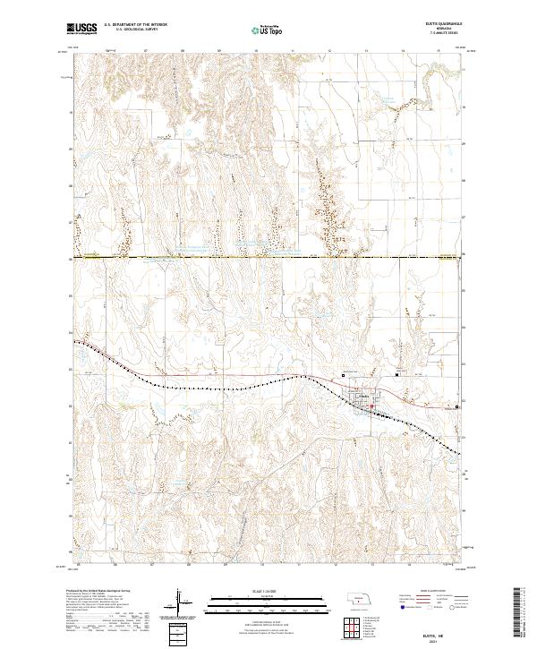 2021 Eustis2021 Print · USGSThe Frontier and Dawson County border comes into focus in this recent survey of the high plains. Researchers can trace local lineage and land use through features like Pioneer Cem, Hueftle Reservoir, and the street grid of Eustis.
 - 2021 Map of Buffalo, 2021 Print
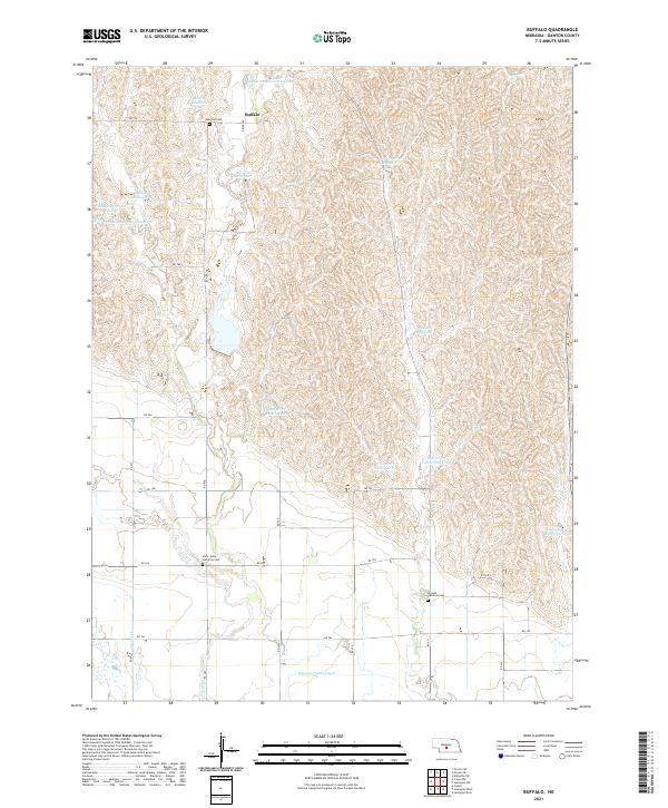 2021 Buffalo2021 Print · USGSDawson County, Nebraska, is shown in the early 2020s as a landscape of highly managed water and quiet rural outposts. Researchers can trace the legacy of local settlement through the Buffalo community and landmarks like Saint Johns Lutheran Cem and Rose Hill Cem.
 - 2021 Map of Lexington SE, 2021 Print
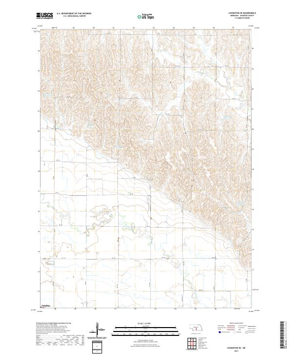 2021 Lexington SE2021 Print · USGSDawson County's agricultural uplands and the river valley fringe are captured in this 2021 survey. Researchers can trace rural water management through Hammond Reservoir and Beatty Reservoir or locate the site of Josselyn near the Platte valley edge.
 - 2021 Map of Lexington East, 2021 Print
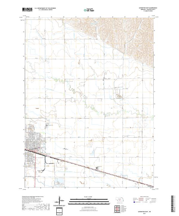 2021 Lexington East2021 Print · USGSThe Platte River valley in central Nebraska reveals its agricultural and civic character in the early 2020s. Researchers can locate family sites at Greenwood Cem or Evergreen Cem and trace irrigation routes like Lateral Number 2 near Lexington.
 - 2021 Map of Elwood NW, 2021 Print
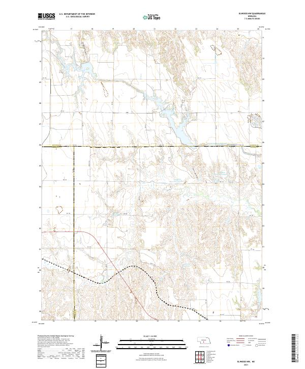 2021 Elwood NW2021 Print · USGSGosper County and its neighbors Dawson and Frontier counties are captured in this 2021 study of modern Nebraska water infrastructure. Researchers can trace the path of the Tri County Supply Canal and locate rural landmarks like Gallagher Canyon and Bellamy Reservoir.
 - 2021 Map of Cozad NW, 2021 Print
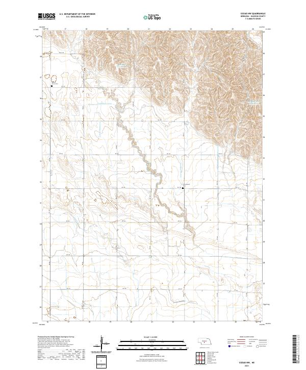 2021 Cozad NW2021 Print · USGSPrairie agriculture in Dawson County thrives through a complex irrigation network during the early twenty-first century. Researchers can trace the paths of the Gothenburg Canal and Cozad Canal or locate local burial sites like Walnut Grove Cem.
 - 2021 Map of Miller SW, 2021 Print
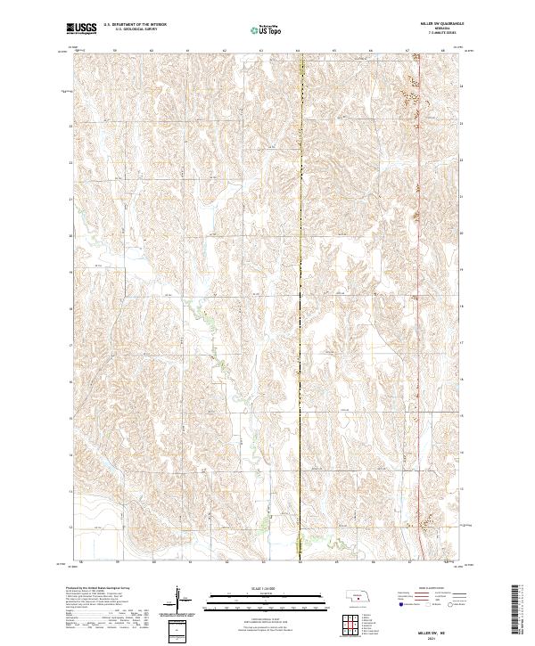 2021 Miller SW2021 Print · USGSThe rural divide of Dawson and Buffalo counties is captured here in the early twenty-first century, showcasing a highly structured agricultural landscape. Genealogists and local historians can trace property locations and regional travel routes along Apache Rd, Midway Rd, and the drainages of Elm Cr.
 - 2021 Map of Miller, 2021 Print
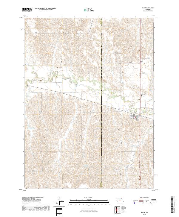 2021 Miller2021 Print · USGSThe village of Miller and the adjacent hills of central Nebraska are captured here in the early twenty-first century. Genealogists and local historians can trace the town layout along North St or locate family sites near the Armada Cem and Wild Horse Valley.
 - 2021 Map of Sumner, 2021 Print
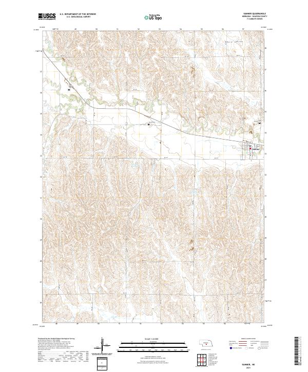 2021 Sumner2021 Print · USGSSumner and the surrounding Dawson County plains are captured here in the early 2020s, showing a landscape defined by local reservoirs and deep-rooted rural cemeteries. Researchers can trace family history at Saint Patricks Cem or Jewell Cem and follow the path of Elm Cr.
 - 2021 Map of Lexington NW, 2021 Print
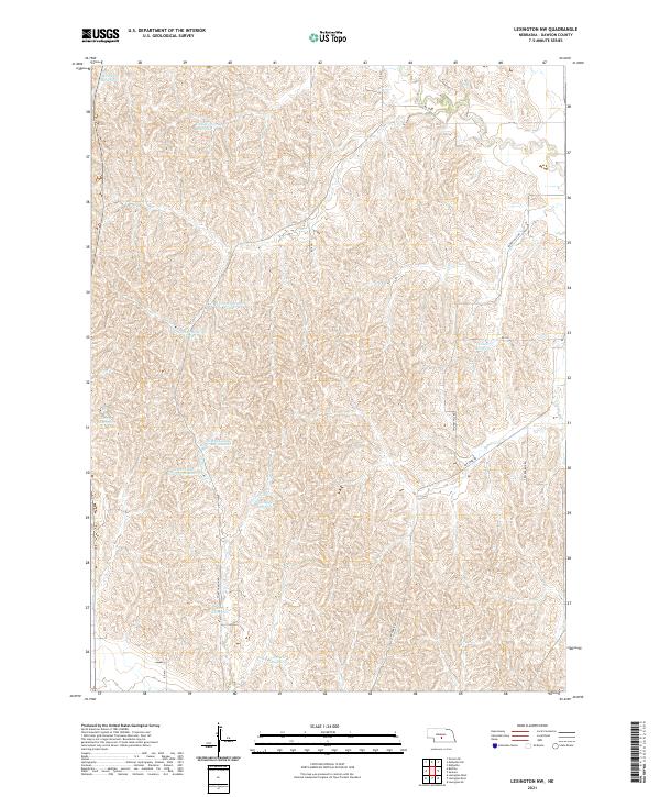 2021 Lexington NW2021 Print · USGSDawson County's rural landscape is captured here in the early 2020s, showing a complex network of upland water management. Researchers can trace land use patterns through numerous local landmarks like Katy West Reservoir, Smokey Hill Rd, and School Land Reservoir Number 2.
 - 2021 Map of Farnam, 2021 Print
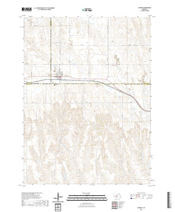 2021 Farnam2021 Print · USGSThe tri-county border of Lincoln, Dawson, and Frontier counties comes into focus in this recent survey of Farnam. Researchers can trace town streets like Moose St or locate the Farnam Cem and Gaudner Reservoir on the plains.
 - 2021 Map of Roten Valley South, 2021 Print
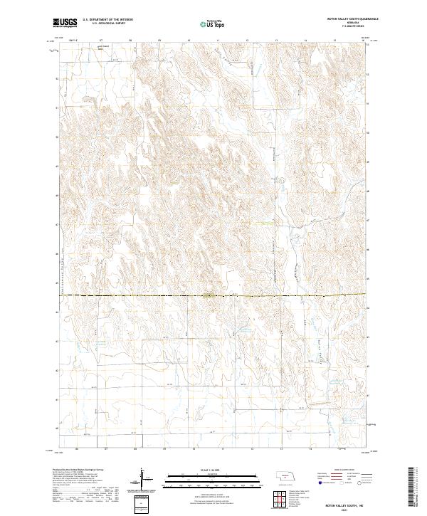 2021 Roten Valley South2021 Print · USGSCuster and Dawson counties are captured here in the early twenty-first century as a landscape of high plateaus and managed water. Researchers can trace land use through features like Rock Island Table, Stump Ditch, and Feddersen Reservoir.
 - 2021 Map of Odencranze Table South, 2021 Print
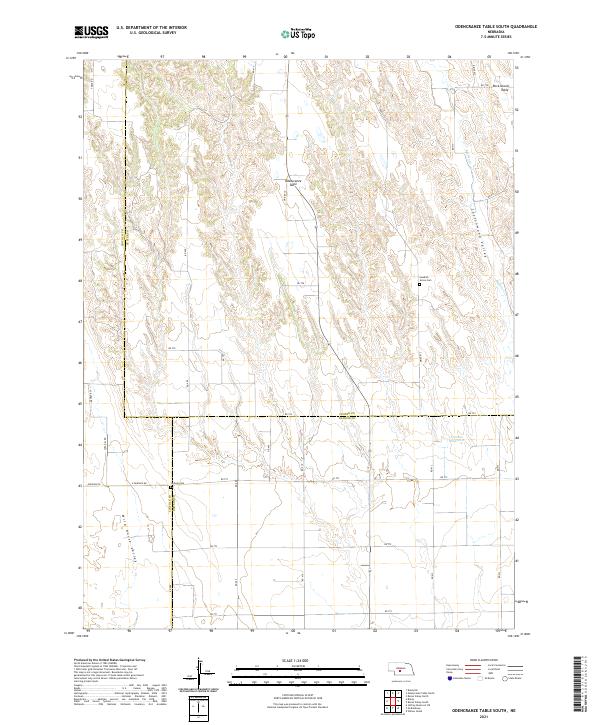 2021 Odencranze Table South2021 Print · USGSAgricultural life on the Nebraska tablelands is documented in this recent survey where the borders of Custer, Lincoln, and Dawson counties meet. Genealogists and historians can locate legacy sites like Swedish Grove Cem and Linburg Cem among the expansive views of Odencranze Table.
 - 2021 Map of Mason City SW, 2021 Print
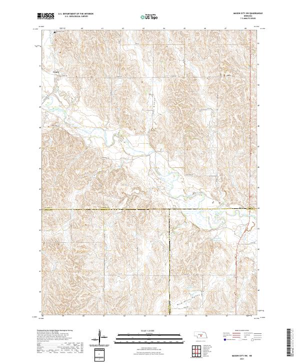 2021 Mason City SW2021 Print · USGSCentral Nebraska's ranching country is captured here during the early 2020s, centered on the tri-county corner of Custer, Dawson, and Buffalo. Researchers can locate the Box Elder Cem and trace the waterways of Wild Horse Valley and the South Loup River.
 - 2021 Map of Elm Creek West, 2021 Print
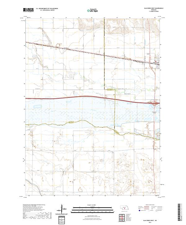 2021 Elm Creek West2021 Print · USGSDawson County and the central Platte Valley are documented here in 2021, showing the convergence of three Nebraska counties. Researchers can trace the rural settlement of Trued, find the western edge of Elm Creek, and locate features like Blue Hole West Lake.
 - 2021 Map of Cozad, 2021 Print
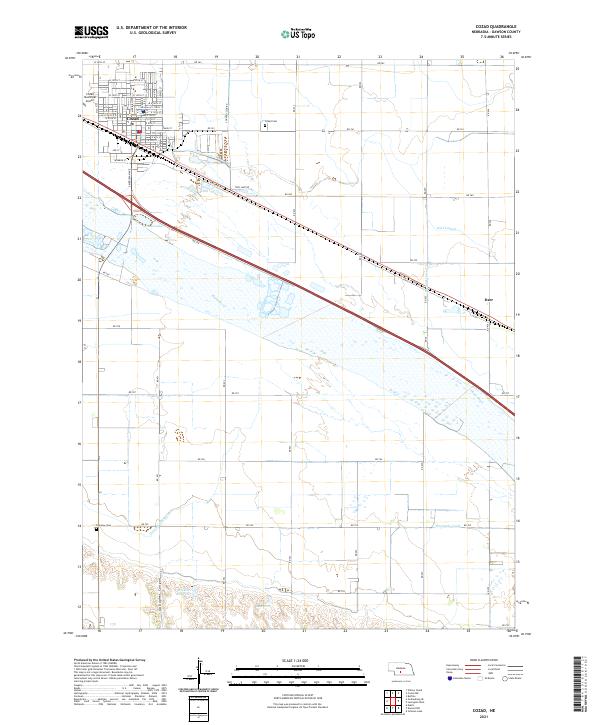 2021 Cozad2021 Print · USGSCozad and the surrounding Dawson County farmland are defined by a complex irrigation network in the early 2020s. Researchers can trace historic water rights and local genealogy through features like the Thirtymile Canal, Cozad Cem, and the small community of Darr.
 - 2021 Map of Lexington West, 2021 Print
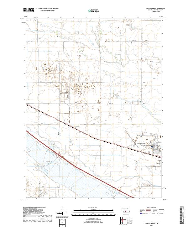 2021 Lexington West2021 Print · USGSDawson County agriculture and the western expansion of Lexington are documented in this recent survey of the Platte River Valley. Researchers can trace irrigation networks like the Cozad Canal or locate family sites at Grace Cem and Hewitt Cem.
 - 2021 Map of Overton, 2021 Print
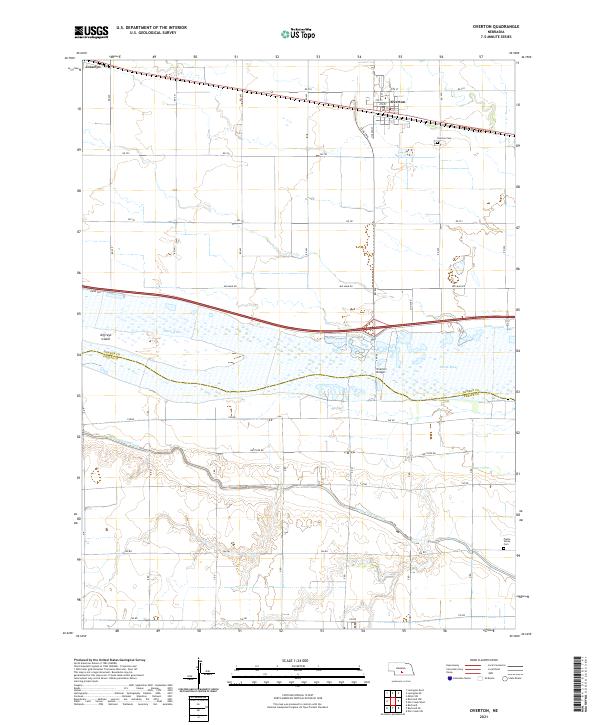 2021 Overton2021 Print · USGSThe Platte River valley near the Dawson and Phelps county line is shown here in the early 2020s, centered on the community of Overton. Researchers can trace the river's path around Jeffreys Island or locate family sites at Overton Cem and Platte Valley Cem.
 - 2021 Map of Johnson Lake, 2021 Print
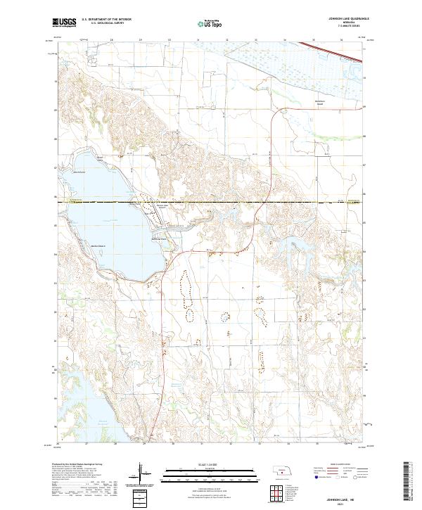 2021 Johnson Lake2021 Print · USGSGosper and Dawson counties are defined by a massive mid-century hydraulic network in this contemporary survey. You can trace the complex irrigation systems of the Tri-County Supply Canal and locate recreational landmarks like Mallard Beach and Johnson Lake Airport.
 - 2021 Map of Gothenburg, 2021 Print
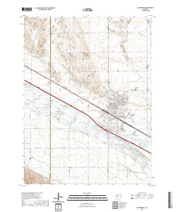 2021 Gothenburg2021 Print · USGSThe Platte River valley in the early 2020s remains defined by its historic water works and agricultural heritage. Researchers can trace family plots at Salem Presbyterian Cem or study the irrigation network of the Gothenburg Canal and Cozad Canal.
 - 2021 Map of Willow Island, 2021 Print
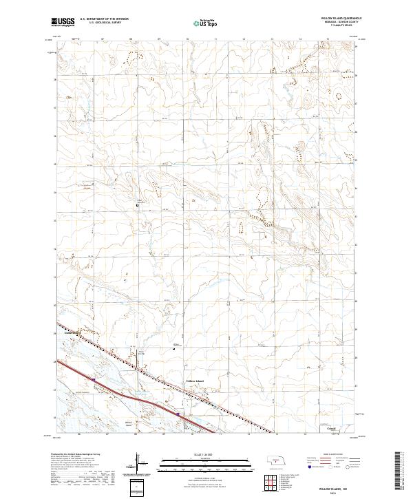 2021 Willow Island2021 Print · USGSDawson County, Nebraska, is seen here during the early 2020s, dominated by the vital waters of the Platte River. Genealogists and local historians can trace rural landmarks like the Willow Island Cem and Grand View Cem alongside irrigation works like the Cozad Canal.
 - 2021 Map of Bertrand NW, 2021 Print
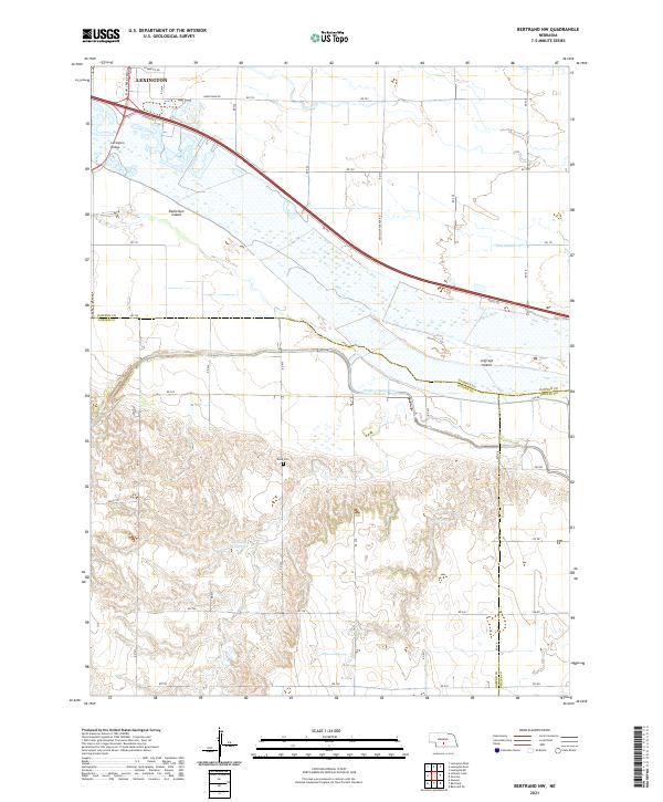 2021 Bertrand NW2021 Print · USGSThe braided Platte River dominates this Gosper and Dawson County borderland in the early twenty-first century. Researchers can trace the Phelps County Canal and Phillippi Reservoir or find local landmarks like Robb Cem and Jeffreys Island.
 - 2021 Map of Gothenburg SE, 2021 Print
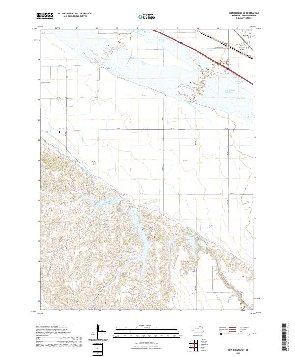 2021 Gothenburg SE2021 Print · USGSDawson County’s river-fed agricultural landscape is documented here during the early twenty-first century. Researchers can trace the essential irrigation network of the Orchard Alfalfa Canal and find local landmarks like Pleasant View Cem and the Cozad Municipal Airport.
 - 2021 Map of Eddyville SW, 2021 Print
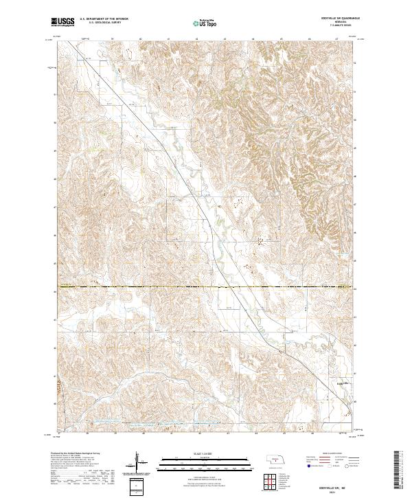 2021 Eddyville SW2021 Print · USGSCuster and Dawson Counties are shown in the early 2020s, dominated by a managed landscape of high-plains agriculture. Researchers can trace rural infrastructure through the Dawson Company Road Dam Reservoir Number 6 series and the settlement of Eddyville.
Showing maps 1-25 of 28
Top cities of Dawson County
- Lexington historical maps
- Cozad historical maps
- Gothenburg historical maps
- Overton historical maps
- Sumner historical maps
- Farnam historical maps
See more
Frequently asked questions
- What are the different types of historical maps available for Dawson County?
- What is the oldest map of Dawson County?
- Where can I purchase historical maps of Dawson County for my home or office?
- Where can I download high-res historical maps of Dawson County?
- Are there historical topographic maps available for Dawson County?
- Is there historical aerial imagery available for Dawson County?
- Where are historical maps of Dawson County sourced from?