Old Maps of Wakefield Township, Nebraska for Metal Detecting
Plan your next treasure hunt with 28 historic maps of Wakefield Township. Find old homesites, ghost towns, trails, and gathering spots that may be lost to time — perfect for identifying promising metal detecting locations.
- Locate forgotten sites: Uncover places like long-lost settlements, abandoned rail lines, or gathering spots.
- Plan better hunts: Use map overlays combined with LiDAR or satellite views to narrow in on historically rich areas.
- Made for detectorists: Thousands of hobbyists use these maps to discover relics, coins, and hidden history.
Use these historic maps to boost your research and find new opportunities beneath the surface of Wakefield Township.
Wakefield Township, NE maps
(28)- 1898 Map of Elk Point, 1960 Print
 1898 Elk Point1960 Print · USGSThe tri-state borderlands of South Dakota, Nebraska, and Iowa are captured here in the late nineteenth century as a landscape of ferries and river-fed commerce. Researchers can trace the early foundations of Elk Point and Vermillion or locate vanished crossings like Ionia Ferry and the Ponca Ferry.2 unique versions available
 - 1901 Map of Elk Point
 1901 Elk Point1901 Print · USGSThe tri-state borderlands of South Dakota, Nebraska, and Iowa are captured here at the turn of the century during the peak of the steam rail era. Researchers can trace the original paths of the Chicago Milwaukee and St. Paul Ry. and locate early settlements like Spirit Mound, Newcastle, and Burbank.
 - 1907 Map of Elk Point
 1907 Elk Point1907 Print · USGSThe tri-state borderlands of South Dakota, Nebraska, and Iowa are shown here at the start of the century, centered on the Missouri and Big Sioux river valleys. Researchers can trace the river's old path through oxbows like Mc Cook Lake and locate early river crossings including Vermilion Ferry and Ponca Ferry.6 unique versions available
 - 1955 Map of Sioux City, 1959 Print
 1955 Sioux City1959 Print · USGSThe Missouri River valley in the mid-fifties is captured here during a time of major engineering and social transition. Genealogists and historians can trace the foundations of Gavins Point Dam, tribal boundaries on the Santee Sioux Indian Reservation, and local landmarks like the Norfolk State Hospital.4 unique versions available
 - 1958 Map of Sioux City
 1958 Sioux City1958 Print · USGSThe Missouri River valley in the late fifties was a bustling intersection of tribal lands, rail corridors, and river towns. Genealogists can trace family roots through specific rural sites like Daisy Valley School, St Johns Church and School, and Yankton State Hospital.
 - 1959 Map of Sioux City
 1959 Sioux City1959 Print · USGSThe tri-state region surrounding the Missouri River is captured here in the late fifties, showing the convergence of Nebraska, South Dakota, and Iowa. Researchers can trace rural lineages through numerous country schoolhouses like Cemetery School and the many numbered Washington School districts.
 - 1964 Map of Martinsburg SW, 1965 Print
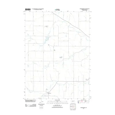
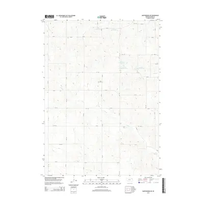
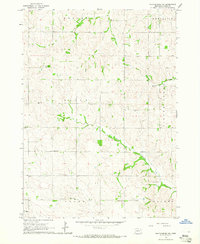 1964 Martinsburg SW1965 Print · USGSDixon County's rural townships are captured in the mid-1960s, showing a landscape of family farms and small school districts. Genealogists can locate specific landmarks like St Patricks Cem, Happy Corner Sch, and the Townhall in DAILY township.
 - 1964 Map of Martinsburg, 1966 Print
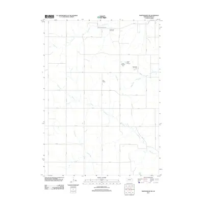
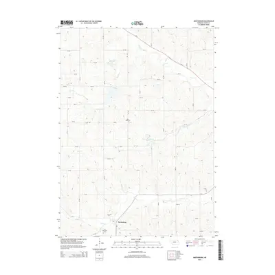
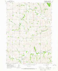 1964 Martinsburg1966 Print · USGSMartinsburg and the rolling farm country of Dixon County appear here in the mid-1960s, showing a landscape of well-established rural townships. Researchers can trace family history through numerous landmarks like St Pauls Ch, Silver Ridge Cem, and South Creek Sch.
 - 1967 Map of Allen, 1969 Print
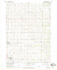
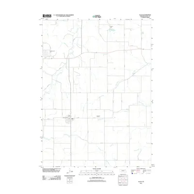
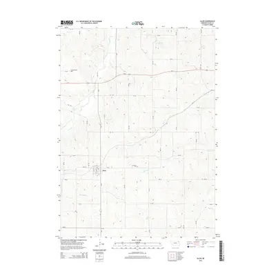
 1967 Allen1969 Print · USGSDixon County farmland surrounds the village of Allen in the late 1960s, showing a landscape of rural schools and rail-dependent industry. Researchers can trace family landmarks like the Springbank Cem, Springbank Ch, and the Harmony Hill Sch.
 - 1967 Map of Concord, 1969 Print
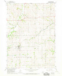
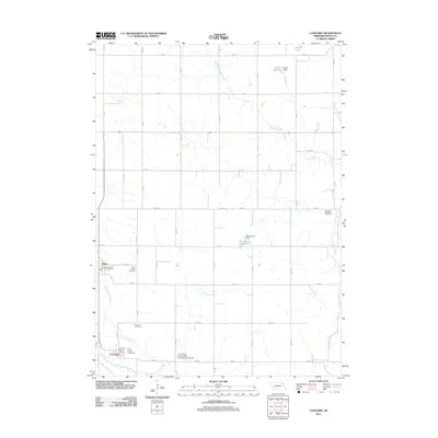
 1967 Concord1969 Print · USGSDixon County farmland is mapped here in the late sixties, showing the rural structure of the Nebraska plains. You can trace early burial sites at St Annes Cem and Concord Cem, or follow the rail lines of the Chicago and North Western.
 - 1986 Map of Sioux City North
 1986 Sioux City North1986 Print · USGSThe tri-state borderlands of Iowa, South Dakota, and Nebraska are captured here in the mid-eighties as the region's agricultural and academic centers thrived. Researchers can trace historic rail lines like the Illinois Central Gulf and locate landmarks from Briar Cliff College to the heights of Spirit Mound.2 unique versions available
 - 1986 Map of Sioux City South
 1986 Sioux City South1986 Print · USGSThe tri-state borderlands of Iowa, Nebraska, and South Dakota come into focus in the mid-1980s as a landscape of tribal lands and rail corridors. Researchers can trace the extensive boundaries of the Winnebago Indian Reservation and find local landmarks like Morningside College and Martin Field.2 unique versions available
 - 2011 Map of Martinsburg, 2011 Print
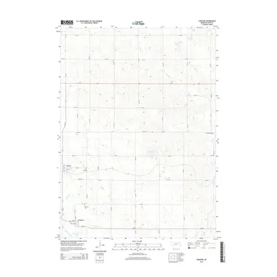
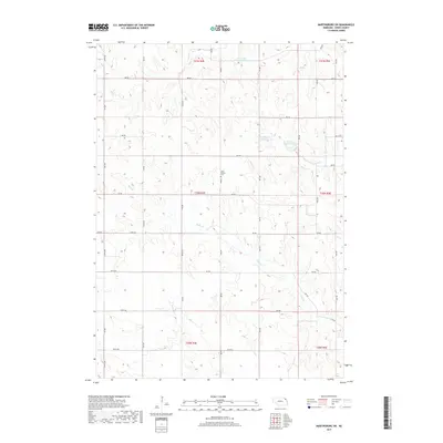
 2011 Martinsburg2011 Print · USGSCovers Wakefield Township, including Martinsburg, Silvercreek Township, and other nearby areas
 - 2011 Map of Martinsburg SW, 2011 Print
 2011 Martinsburg SW2011 Print · USGSCovers Wakefield Township, including Clark Township, Daily Township, and other nearby areas
 - 2011 Map of Concord, 2011 Print
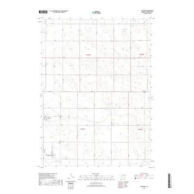
 2011 Concord2011 Print · USGSCovers Wakefield Township, including Concord, Dixon, and other nearby areas
 - 2011 Map of Allen, 2011 Print
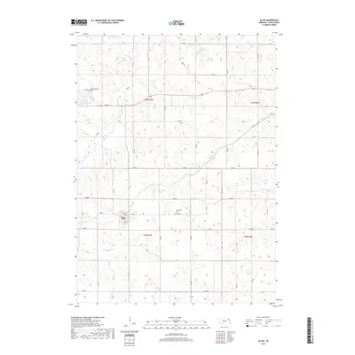
 2011 Allen2011 Print · USGSCovers Wakefield Township, including Allen, Springbank Township, and other nearby areas
 - 2014 Map of Concord, 2014 Print
 2014 Concord2014 Print · USGSCovers Wakefield Township, including Concord, Dixon, and other nearby areas
 - 2014 Map of Martinsburg SW, 2014 Print
 2014 Martinsburg SW2014 Print · USGSCovers Wakefield Township, including Clark Township, Daily Township, and other nearby areas
 - 2014 Map of Martinsburg, 2014 Print
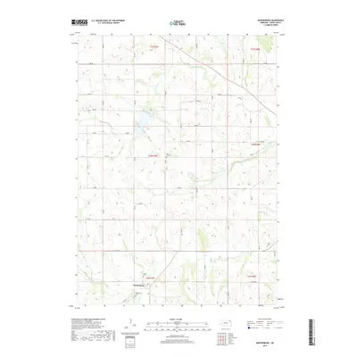
 2014 Martinsburg2014 Print · USGSCovers Wakefield Township, including Martinsburg, Silvercreek Township, and other nearby areas
 - 2014 Map of Allen, 2014 Print
 2014 Allen2014 Print · USGSCovers Wakefield Township, including Allen, Springbank Township, and other nearby areas
 - 2017 Map of Martinsburg SW, 2017 Print
 2017 Martinsburg SW2017 Print · USGSCovers Wakefield Township, including Clark Township, Daily Township, and other nearby areas
 - 2017 Map of Martinsburg, 2017 Print
 2017 Martinsburg2017 Print · USGSCovers Wakefield Township, including Martinsburg, Silvercreek Township, and other nearby areas
 - 2017 Map of Concord, 2017 Print
 2017 Concord2017 Print · USGSCovers Wakefield Township, including Concord, Dixon, and other nearby areas
 - 2017 Map of Allen, 2017 Print
 2017 Allen2017 Print · USGSCovers Wakefield Township, including Allen, Springbank Township, and other nearby areas
 - 2021 Map of Allen, 2021 Print
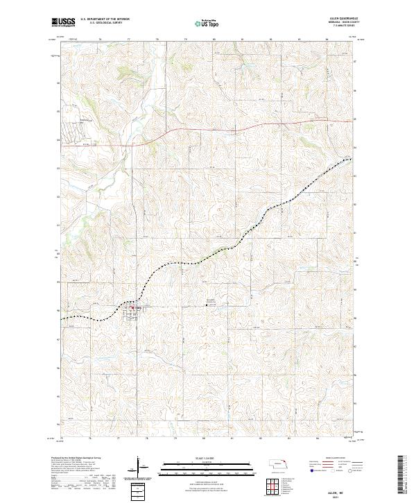 2021 Allen2021 Print · USGSDixon County farmland is meticulously mapped in the 2020s, centered on the settlement of Allen. Researchers can locate family plots at Springbank Friends Cem or trace the winding paths of Rattlesnake Cr and Minnow Cr.
Showing maps 1-25 of 28
Top cities near Wakefield Township
- Elk Point historical maps
- Wakefield historical maps
- Ponca historical maps
- Emerson historical maps
- Allen historical maps
- Newcastle historical maps
See more
Top neighborhoods of Wakefield Township
Frequently asked questions
- What are the different types of historical maps available for Wakefield Township?
- What is the oldest map of Wakefield Township?
- Where can I purchase historical maps of Wakefield Township for my home or office?
- Where can I download high-res historical maps of Wakefield Township?
- Are there historical topographic maps available for Wakefield Township?
- Is there historical aerial imagery available for Wakefield Township?
- Where are historical maps of Wakefield Township sourced from?