Old Maps of Franklin County, Nebraska for Academic Research
Study the evolution of Franklin County with 84 high-resolution historic maps. Whether you're teaching, researching, or modeling changes in land use, these maps provide essential visual documentation of urban, environmental, and geographic change.
- Analyze long-term change: Track patterns in development, transportation, and natural features.
- Ideal for environmental or urban studies: Support academic projects with primary historical map data.
- Use in the classroom or lab: Educators and researchers rely on these maps to bring historical context to life.
These maps are a powerful tool for teaching, research, and visualizing how Franklin County has changed over the decades.
Franklin County, NE maps
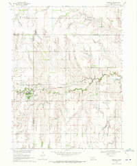
(84)- 1896 Map of Holdrege
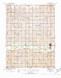
 1896 Holdrege1896 Print · USGSSouth-central Nebraska was a burgeoning network of rail towns and river settlements in the late nineteenth century. Genealogists can trace family roots along the Republican River valley in Alma, Bloomington, and Naponee, or explore the early growth of Holdrege as a vital railroad junction.5 unique versions available
 - 1897 Map of Red Cloud
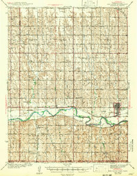
 1897 Red Cloud1897 Print · USGSSouthern Nebraska and the Kansas borderlands were being transformed by heavy rail expansion in the 1890s. Genealogists can trace family farmsteads near Red Cloud and Minden, or follow the Republican River to see the early layouts of Riverton and Franklin.4 unique versions available
 - 1940 Map of Red Cloud, 1954 Print
 1940 Red Cloud1954 Print · USGSSouthern Nebraska at the end of the Great Depression is characterized by its close-knit rural school districts and river-valley rail lines. Genealogists can trace family roots through numerous landmarks like Catherton Cem, St Stevens Ch, and the Poor Farm Sch.2 unique versions available
 - 1942 Map of Red Cloud
 1942 Red Cloud1942 Print · USGSRed Cloud and the surrounding Republican River valley are shown here just before the mid-century, when the rural school system remained remarkably intact. Researchers can trace family roots through numerous sites like New Virginia Cem, Poor Farm Sch, and Inavale.
 - 1955 Map of Grand Island, 1967 Print
 1955 Grand Island1967 Print · USGSCentral Nebraska is seen here during a period of industrial and agricultural growth, centered on the vital Platte River corridor. Researchers can trace the mid-century footprints of the U S Naval Ammunition Depot and the Cornhusker Ordnance Plant.3 unique versions available
 - 1957 Map of Grand Island
 1957 Grand Island1957 Print · USGSCentral Nebraska and Northern Kansas are shown here during a period of massive hydraulic and military expansion in the mid-fifties. Researchers can trace the development of the Harlan County Reservoir and the massive wartime legacy of the Cornhusker Ordnance Plant.
 - 1958 Map of Grand Island
 1958 Grand Island1958 Print · USGSSouth-central Nebraska thrived as a rail and industrial hub during the late fifties, shaped by the braided Platte River. Genealogists and historians can trace rail lines like the Union Pacific RR through towns such as Kearney or locate the sprawling Cornhusker Ordnance Plant.
 - 1969 Map of Upland, 1971 Print
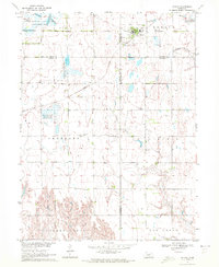
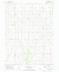
 1969 Upland1971 Print · USGSThe village of Upland and the surrounding Nebraska townships are captured here in the late sixties at the height of the railroad era. Genealogists and local historians can trace the Burlington Northern line, the Upland Cem, and the path of Thompson Creek.
 - 1969 Map of Upland SE, 1971 Print
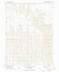
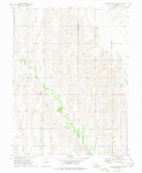
 1969 Upland SE1971 Print · USGSFranklin County and the rural Nebraska borderland appear here in the late sixties, showing a landscape defined by prairie drainage and rail. Genealogists and local historians can locate Osco Cem and Trinity Cem or trace the path of the Burlington Northern railroad.
 - 1969 Map of Campbell, 1971 Print
 1969 Campbell1971 Print · USGSThe village of Campbell and the surrounding agricultural townships of south-central Nebraska are captured here in the late sixties. Researchers can trace the Burlington Northern rail line and locate several rural burial grounds like St Ann Cem and Koch Cem.
 - 1970 Map of Wilcox, 1972 Print
 1970 Wilcox1972 Print · USGSIn the early 1970s, the rural junction of Kearney and Phelps counties featured a landscape of conservation basins and rail corridors. Researchers can locate the Freewater Cem and St Johns Cem, or trace the path of the Burlington Northern and an Old Railroad Grade.
 - 1970 Map of Hildreth, 1972 Print
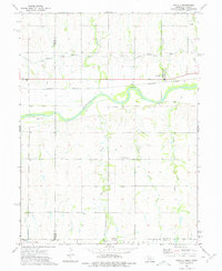
 1970 Hildreth1972 Print · USGSThe rural agricultural landscapes of Franklin and Kearney counties are captured here in the early 1970s. Genealogists can trace family footprints through Hildreth Cem, St Peters Cem, and the small settlement at Moline.
 - 1973 Map of Macon, 1977 Print
 1973 Macon1977 Print · USGSFranklin County's agricultural heartland is documented here in the early seventies, showing the rural grid and water networks of south-central Nebraska. Genealogists and local historians can locate Macon, trace family land near Schmidt, and find the Blauvelt Cem or Zion Ch.
 - 1973 Map of Republican City NE, 1977 Print
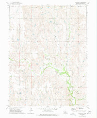
 1973 Republican City NE1977 Print · USGSFranklin County farming country is captured here in the early seventies, showing a landscape of sectional roads and creek-side acreage. Genealogists and local historians can locate Pleasant View Ch, Bailey Cem, and the winding course of Big Cottonwood Creek.
 - 1973 Map of Bloomington, 1977 Print
 1973 Bloomington1977 Print · USGSThe Republican River valley of Franklin County is captured here in the early seventies as the town of Bloomington overlooks a complex network of irrigation and rail. Researchers can trace the path of the Burlington Northern, find the Mt Olive Cem, and locate the Old RR Grade near the Kansas border.
 - 1974 Map of Franklin, 1977 Print
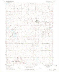
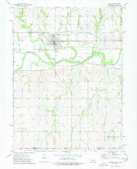 1974 Franklin1977 Print · USGSThe Nebraska-Kansas borderlands in the mid-seventies come to life here, centered on the river valley and irrigation networks of the Republican River. Genealogists and local historians can trace the town of Franklin, locate Greenwood Cem, and find landmarks like the Fairground and Burlington Northern rail line.
 - 1974 Map of Riverton, 1977 Print
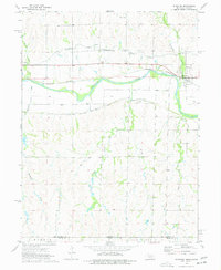 1974 Riverton1977 Print · USGSThe Republican River valley in the 1970s reveals a sophisticated irrigation landscape at the edge of the Nebraska-Kansas border. Local historians can trace the paths of the Franklin Canal and locate family burial sites at Stevens Cem and Fuller Cem.
 - 1974 Map of Red Cloud NW, 1977 Print
 1974 Red Cloud NW1977 Print · USGSThe rural border of Webster and Franklin Counties comes into focus in the 1970s, showing a landscape of prairie creeks and family-named landmarks. Genealogists can trace local roots at Catherton Cem, New Virginia Ch, and Pleasant Prairie Cem.
 - 1974 Map of Republican City, 1977 Print
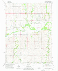
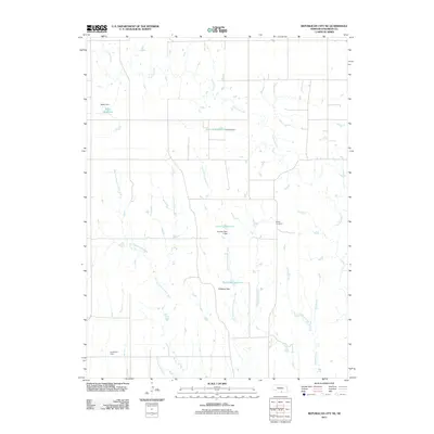
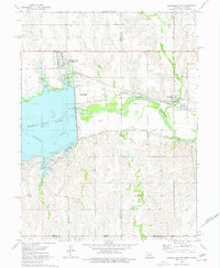 1974 Republican City1977 Print · USGSRepublican City and the surrounding valley are shown here in the mid-1970s, as the landscape adjusted to the presence of Harlan County Lake. You can trace the Burlington Northern railroad, find the old town site of Naponee, and locate the Old RR Grade along the river.
 - 1974 Map of Republican City NW, 1977 Print
 1974 Republican City NW1977 Print · USGSHarlan and Franklin counties are captured in the mid-1970s, showcasing a landscape of creek-side farming and prairie life. Researchers can locate family landmarks like Zion Cem, St Pauls Ch, and the winding path of Turkey Creek.
 - 1974 Map of Inavale, 1977 Print
 1974 Inavale1977 Print · USGSThe Nebraska-Kansas borderlands in the mid-seventies come alive through this survey of the Republican River valley. Trace the rail-and-river economy near Inavale and locate rural landmarks like the Walnut Creek Cemetery and Farmers Creek.
 - 1974 Map of Franklin NE, 1977 Print
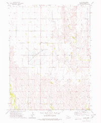
 1974 Franklin NE1977 Print · USGSFranklin County, Nebraska, is documented here in the mid-1970s, showcasing a rural landscape defined by its vital creek systems. You can trace the community's heart at Spring Valley Ch and Spring Valley Sch or follow the waters of Thompson Creek.
 - 1985 Map of Red Cloud
 1985 Red Cloud1985 Print · USGSSouth Central Nebraska and the Kansas borderlands appear in high detail during the mid-eighties as a landscape of river-fed agriculture and rail-connected prairie towns. Researchers can trace the Burlington Northern tracks through Red Cloud or locate the extensive Courtland Canal and Superior-Courtland Diversion Dam.2 unique versions available
 - 1986 Map of Holdrege
 1986 Holdrege1986 Print · USGSSouthern Nebraska and the Kansas borderlands appear here in the mid-eighties as a region defined by river valleys and rail-connected agricultural hubs. Trace local history through settlements like Republican City, the Prairie Home Cem, and the waters of Harlan County Lake.2 unique versions available
 - 2011 Map of Republican City NE, 2011 Print
 2011 Republican City NE2011 Print · USGSCovers Franklin County, including United States, Nebraska, and other nearby areas
Showing maps 1-25 of 84
Top cities of Franklin County
- Franklin historical maps
- Campbell historical maps
- Hildreth historical maps
- Upland historical maps
- Naponee historical maps
- Bloomington historical maps
See more
Frequently asked questions
- What are the different types of historical maps available for Franklin County?
- What is the oldest map of Franklin County?
- Where can I purchase historical maps of Franklin County for my home or office?
- Where can I download high-res historical maps of Franklin County?
- Are there historical topographic maps available for Franklin County?
- Is there historical aerial imagery available for Franklin County?
- Where are historical maps of Franklin County sourced from?