2010s Maps of Franklin County, Nebraska
Explore 45 historic maps of Franklin County from the 2010s. These maps offer a rare glimpse into what life looked like during the 2010s — showing old roads, neighborhoods, homes, and landmarks that have changed or disappeared over time.
Whether you're researching your family's past, planning a metal detecting trip, or studying how Franklin County's landscape evolved across the 2010s, these high-resolution maps are a powerful tool for exploring the history of this region.
- Focus on a specific era: All maps on this page are from the 2010s, giving you a focused view of this time period.
- See what’s changed: Compare century-old streets, trails, and buildings to today's modern landscape using overlays and satellite layers.
- Research with precision: Use these maps for genealogy, historical research, land use analysis, or educational projects.
- View, download, or print: Maps are fully viewable online in high resolution, and can be downloaded or printed for your own records.
Start exploring Franklin County's history through authentic maps from the 2010s. This is your window into the past.
Franklin County, NE maps
(45)- 2011 Map of Republican City NE, 2011 Print
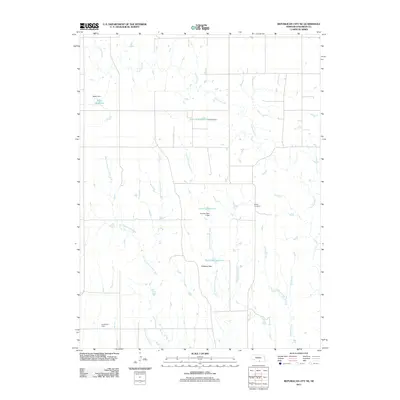 2011 Republican City NE2011 Print · USGSFranklin County at the start of the twenty-first century reveals a highly managed prairie landscape shaped by essential water resources. Researchers can trace land use patterns through family-named landmarks like Bailey Cemetery, Adam Reservoir, and Frerichs Reservoir.
 - 2011 Map of Hildreth, 2011 Print
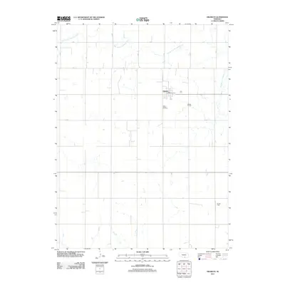 2011 Hildreth2011 Print · USGSHildreth and its surrounding Franklin County farmlands are captured here in the early twenty-first century as a well-ordered agricultural community. Genealogists and local historians can locate Saint Peters Cemetery, Hildreth Cemetery, and the Hildreth Post Office.
 - 2011 Map of Wilcox, 2011 Print
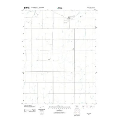 2011 Wilcox2011 Print · USGSWilcox and the surrounding Nebraska plains are captured here in the early twenty-first century as a well-ordered agricultural landscape. Genealogists can locate several local burying grounds, such as Saint Johns Cemetery and Freewater Cemetery, along the rural 725 Rd corridors.
 - 2011 Map of Republican City NW, 2011 Print
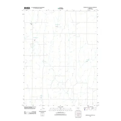 2011 Republican City NW2011 Print · USGSHarlan County's agricultural prairie is captured here in the early twenty-first century, showing a landscape defined by water management and creek drainages. Researchers can locate Zion Cemetery or trace the family-named dams at Harms Reservoir and Ziegler Reservoir.
 - 2011 Map of Bloomington, 2011 Print
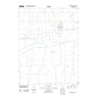 2011 Bloomington2011 Print · USGSNear the Republican River valley in the early twenty-first century, this area of Franklin County reveals a landscape shaped by water and agriculture. Genealogists and local historians can trace the streets of Bloomington, locate the Mount Olive Cemetery, and identify water works like the Franklin Canal.
 - 2011 Map of Republican City, 2011 Print
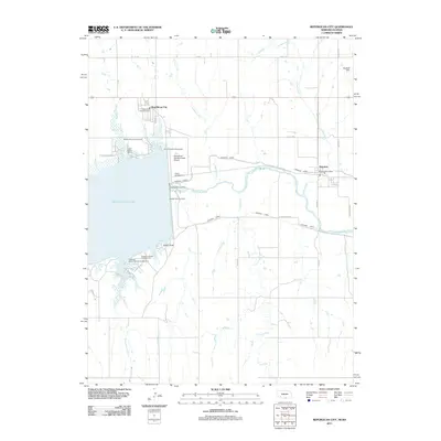 2011 Republican City2011 Print · USGSRepublican City and Naponee are shown at the height of their modern recreational and agricultural development near the Kansas border. Researchers can trace the water infrastructure of Harlan County Lake and locate sites like Patterson Harbor and the Harlan County Dam.
 - 2011 Map of Franklin NE, 2011 Print
 2011 Franklin NE2011 Print · USGSFranklin County's agricultural heartland is documented here in the early twenty-first century, showing the intricate creek systems that support the region. Researchers can trace the confluence of West Branch Thompson Creek or locate the Bartels Reservoir and Bartels Dam.
 - 2011 Map of Red Cloud NW, 2011 Print
 2011 Red Cloud NW2011 Print · USGSWebster County's agricultural heartland is documented here in the early twenty-first century. Genealogists can locate several family-named burial grounds across the rural landscape, including Catherton Cemetery, Zion Cemetery, and the New Virginia Cemetery.
 - 2011 Map of Upland SE, 2011 Print
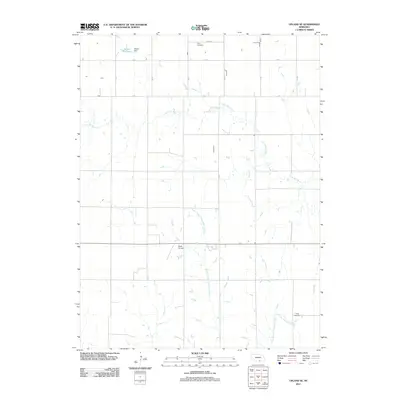 2011 Upland SE2011 Print · USGSKearney County, Nebraska, is seen here at the start of the 2010s, showing a landscape shaped by agricultural grid roads and the Little Blue River. Genealogists and local historians can locate Osco Cemetery and Trinity Cemetery, as well as the Nelson Reservoir and Sindt Airport.
 - 2011 Map of Macon, 2011 Print
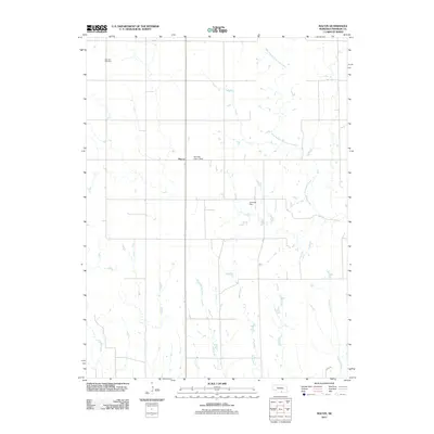 2011 Macon2011 Print · USGSThe agricultural plains of Franklin County are shown in detail during the early 21st century, centered on the settlement of Macon. Family historians and researchers can trace local landmarks like Blauvelt Cemetery and the many prairie waterways including Walnut Run and Lovely Creek.
 - 2011 Map of Upland, 2011 Print
 2011 Upland2011 Print · USGSThe village of Upland and its surrounding Franklin County farmsteads are documented here in the early twenty-first century. Genealogists and local historians can locate the Upland Cemetery and trace water features like the Olson Reservoir and Little Blue River.
 - 2011 Map of Campbell, 2011 Print
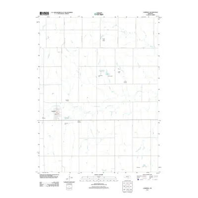 2011 Campbell2011 Print · USGSThe village of Campbell is documented here as it appeared in the early 21st century, centered in a landscape of river-fed agriculture. Genealogists and local historians can locate Saint Ann Cemetery, Harmony Cemetery, and the rural RS AG - Land Airport.
 - 2011 Map of Riverton, 2011 Print
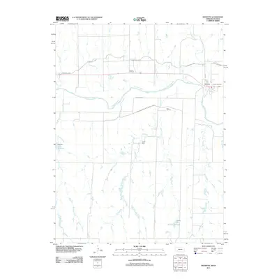 2011 Riverton2011 Print · USGSThe Republican River valley in southern Nebraska is captured here at a moment of modern agricultural stability. Genealogists and local historians can trace family-named sites like Fuller Cemetery, Stevens Cemetery, and the Riverton Post Office.
 - 2011 Map of Inavale, 2011 Print
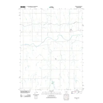 2011 Inavale2011 Print · USGSInavale and the Republican River valley are documented here in the early twenty-first century as they maintain their agricultural character. Genealogists and local historians can locate the Walnut Creek Cemetery and the Inavale Post Office, or trace the vital Franklin Canal.
 - 2011 Map of Franklin, 2011 Print
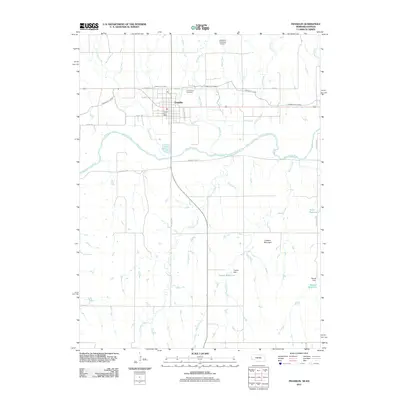 2011 Franklin2011 Print · USGSFranklin and the Republican River valley are documented here in the early twenty-first century. Genealogists and local historians can trace property locations near Greenwood Cemetery or follow the path of the Franklin Canal and Copley Reservoir.
 - 2014 Map of Macon, 2014 Print
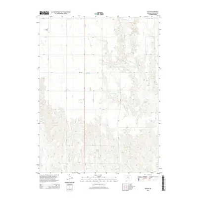 2014 Macon2014 Print · USGSFranklin County's rural township of Macon is captured here in the mid-2010s, showing a landscape of organized agriculture and creek drainages. Researchers can locate the Blauvelt Cem and trace the paths of W Br Thompson Cr and Lovely Cr.
 - 2014 Map of Upland, 2014 Print
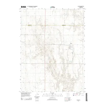 2014 Upland2014 Print · USGSUpland and the northern border of Franklin County are captured in this mid-2010s survey of the Nebraska plains. Genealogists and local historians can trace the town’s layout and find family landmarks like the Upland Cem or waterways like the Little Blue River.
 - 2014 Map of Franklin, 2014 Print
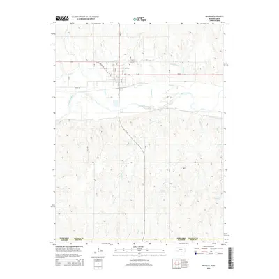 2014 Franklin2014 Print · USGSFranklin and the Republican River valley are documented here in the early twenty-first century, showing the intersection of Nebraska and Kansas. Researchers can trace irrigation infrastructure like the Franklin Canal or locate local landmarks such as Greenwood Cem and Lookout Mtn.
 - 2014 Map of Inavale, 2014 Print
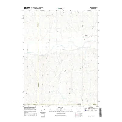 2014 Inavale2014 Print · USGSThe Republican River valley along the Nebraska-Kansas border is shown here at a time when irrigation and ranching shaped the local landscape. Researchers can trace family sites near Inavale or locate the Walnut Creek Cem and the Talkington Reservoir.
 - 2014 Map of Upland SE, 2014 Print
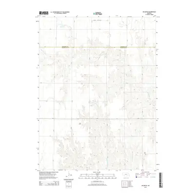 2014 Upland SE2014 Print · USGSThe Kearney and Franklin county borderlands are captured here in the early twenty-first century, showing a deeply etched prairie landscape. Genealogists and local historians can locate Osco Cem, Trinity Cem, and the small-scale aviation of Sindt Airport.
 - 2014 Map of Republican City, 2014 Print
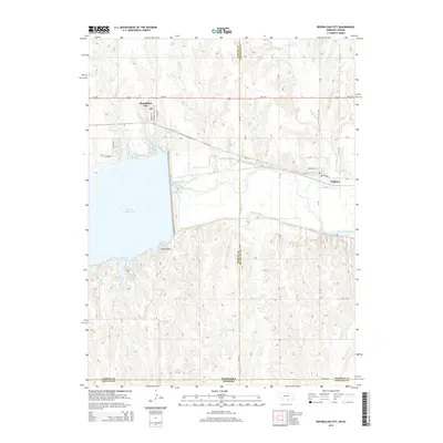 2014 Republican City2014 Print · USGSRepublican City and the shores of Harlan County Lake are captured here in the early twenty-first century. Researchers can trace the layout of Naponee, locate the Post Office, and follow irrigation routes like the Naponee Canal and Franklin Canal.
 - 2014 Map of Campbell, 2014 Print
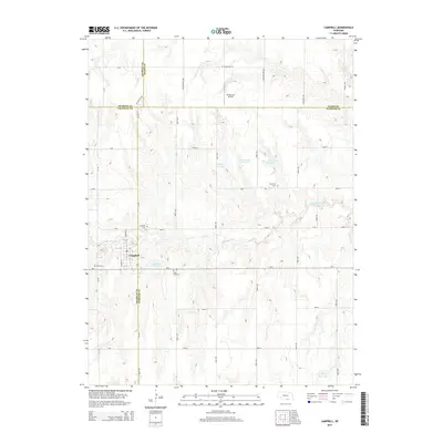 2014 Campbell2014 Print · USGSThe village of Campbell is documented here in the early twenty-first century as it straddles the Franklin and Webster county lines. Genealogists can locate several local burial sites like Saint Ann Cem and Harmony Cem or trace the course of the Little Blue River.
 - 2014 Map of Republican City NE, 2014 Print
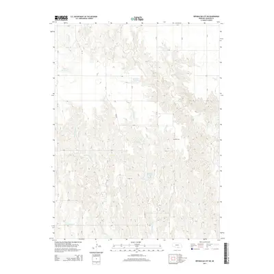 2014 Republican City NE2014 Print · USGSFranklin County farming country is documented here in the 2010s, showing a landscape defined by prairie drainages and man-made water storage. Genealogists and researchers can locate the Bailey Cem or trace waterways like Vinning Cr and Frerichs Reservoir.
 - 2014 Map of Hildreth, 2014 Print
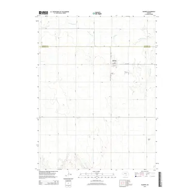 2014 Hildreth2014 Print · USGSHildreth and the surrounding plains on the Kearney-Franklin county line are captured here in the early twenty-first century. Genealogists and local researchers can locate the Hildreth Cem, Saint Peters Cem, and the town PO, or trace the course of the Center Cr.
 - 2014 Map of Riverton, 2014 Print
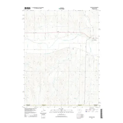 2014 Riverton2014 Print · USGSThe Nebraska-Kansas border comes into focus in this early twenty-first-century survey centered on the riverfront town of Riverton. Researchers can trace the legacy of Great Plains water management through the Franklin Canal and locate rural landmarks like Stevens Cem.
Showing maps 1-25 of 45
Top cities of Franklin County
- Franklin historical maps
- Campbell historical maps
- Hildreth historical maps
- Upland historical maps
- Naponee historical maps
- Bloomington historical maps
See more
Frequently asked questions
- What are the different types of historical maps available for Franklin County?
- What is the oldest map of Franklin County?
- Where can I purchase historical maps of Franklin County for my home or office?
- Where can I download high-res historical maps of Franklin County?
- Are there historical topographic maps available for Franklin County?
- Is there historical aerial imagery available for Franklin County?
- Where are historical maps of Franklin County sourced from?