Old Maps of Hitchcock County, Nebraska for Academic Research
Study the evolution of Hitchcock County with 81 high-resolution historic maps. Whether you're teaching, researching, or modeling changes in land use, these maps provide essential visual documentation of urban, environmental, and geographic change.
- Analyze long-term change: Track patterns in development, transportation, and natural features.
- Ideal for environmental or urban studies: Support academic projects with primary historical map data.
- Use in the classroom or lab: Educators and researchers rely on these maps to bring historical context to life.
These maps are a powerful tool for teaching, research, and visualizing how Hitchcock County has changed over the decades.
Hitchcock County, NE maps
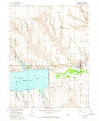
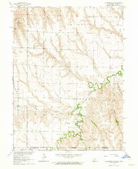
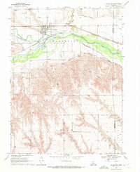
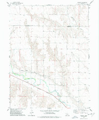
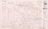
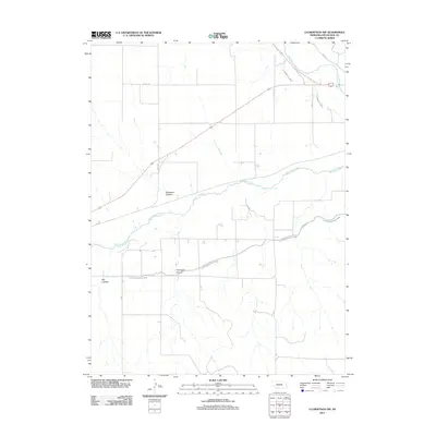
(81)- 1954 Map of McCook, 1966 Print
 1954 McCook1966 Print · USGSSouthwest Nebraska in the mid-fifties reveals a landscape shaped by major water projects and the Chicago Burlington and Quincy RR. Trace ancestral roots and defunct rail stops in McCook, Wauneta, and along the shores of Swanson Lake.2 unique versions available
 - 1957 Map of McCook
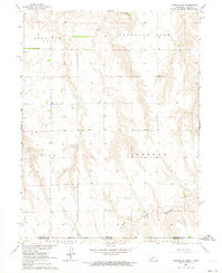
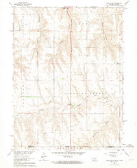
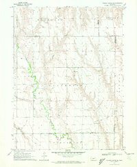
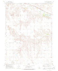
 1957 McCook1957 Print · USGSSouthwestern Nebraska in the mid-fifties is captured here during a period of significant water development and rail-based commerce. Researchers can trace the path of the Chicago Burlington and Quincy through Indianola and Bartley, or locate rural settlements like Chase Village and Ough near the Sand Hills.
 - 1958 Map of McCook
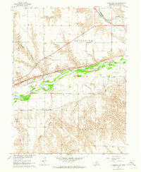
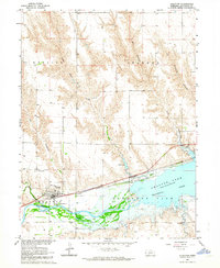
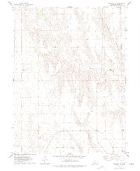
 1958 McCook1958 Print · USGSSouthwest Nebraska during the late fifties reveals a landscape of massive new reservoirs and established rail hubs like McCook. Genealogists can trace family footprints through rural centers like St Johns Church and the many grain elevators along the Union Pacific RR.2 unique versions available
 - 1962 Map of Trenton, 1964 Print
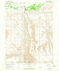
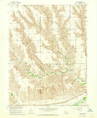
 1962 Trenton1964 Print · USGSHitchcock County landscapes were undergoing significant change in the early sixties as the Missouri River Basin project shaped the local waters. Genealogists and local historians can locate St James Cemetery, trace the Chicago Burlington and Quincy rail line, and explore the rugged breaks of Massacre Canyon.
 - 1962 Map of Trenton SW, 1964 Print
 1962 Trenton SW1964 Print · USGSThe Nebraska-Kansas borderlands come into focus in the early sixties as new water management reshapes the plains. Genealogists can locate McCabe Cem and trace the rural townships of Freedom, Stratton, and Burntwood along the creek.
 - 1962 Map of Culbertson NW, 1964 Print
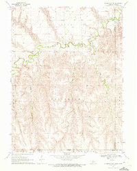
 1962 Culbertson NW1964 Print · USGSHitchcock County in the early sixties reveals a landscape of deep canyons and intricate river valleys during the height of the Missouri River Basin development. Genealogists and local historians can trace the North Riverside Sch, the Trenton Cem, and the path of the Chicago Burlington and Quincy railroad.
 - 1962 Map of Max SE, 1964 Print
 1962 Max SE1964 Print · USGSThe Nebraska-Kansas borderlands in the early sixties reveal a landscape of deep creek valleys and river-bottom rail lines. Genealogists and historians can trace local landmarks like West Union Cem and the Chicago Burlington and Quincy tracks.
 - 1962 Map of Culbertson SW, 1964 Print
 1962 Culbertson SW1964 Print · USGSThe Nebraska-Kansas borderlands in the early sixties reveal a landscape of deep canyons and rural schoolhouses. Researchers can trace the roots of the Cornell community at Cornell Ch and Cornell Cem, or locate landmarks like Hoagland and Fairplains Sch.
 - 1962 Map of Trenton SE, 1964 Print
 1962 Trenton SE1964 Print · USGSThe Nebraska-Kansas borderlands in the early sixties reveal a landscape of deep canyons and rural schoolhouses north of Rawlins County. Researchers can trace the Nebraska Kansas Base Line and locate historic community sites like School No 42 and Ford Sch.2 unique versions available
 - 1962 Map of Stratton, 1964 Print
 1962 Stratton1964 Print · USGSStratton flourished as a rail and river town in the early sixties, situated just west of the newly formed Swanson Lake. Researchers can trace the legacy of local families at Stratton Cem or explore the canyonlands of Hay Canyon and Macklin Canyon.
 - 1962 Map of Max NE, 1964 Print
 1962 Max NE1964 Print · USGSHitchcock and Dundy counties are shown in the early sixties as a landscape of deeply eroded canyons and river bottomland. Genealogists and researchers can locate the Ash Grove Cem, trace the Chicago Burlington and Quincy railroad, and find the settlement of Lingo.
 - 1970 Map of Culbertson, 1972 Print
 1970 Culbertson1972 Print · USGSCulbertson and the Republican River valley are documented here in the early 1970s, showcasing a landscape of intensive irrigation and rail transport. Researchers can trace the Culbertson Canal, find the local Fairground, and locate landmarks like Bethel Ch.
 - 1970 Map of Burger Canyon SE, 1972 Print
 1970 Burger Canyon SE1972 Print · USGSSouthwestern Nebraska in the early 1970s was defined by the intersection of four counties and the intricate engineering of the Blackwood Creek valley. Researchers can trace the sophisticated irrigation network of the Culbertson Siphon Extension Canal and locate rural landmarks like the Beebe Landing Strip.
 - 1970 Map of Culbertson SE, 1972 Print
 1970 Culbertson SE1972 Print · USGSThe Nebraska-Kansas borderlands in the early seventies reveal a landscape of deep canyons and meandering creeks. Genealogists and land researchers can trace the reaches of Driftwood Creek, locate the Grove Cem, and map the rugged Tipton Canyon.
 - 1973 Map of Palisade, 1977 Print
 1973 Palisade1977 Print · USGSPalisade sat at the confluence of prairie creeks and the railroad during the early 1970s. Researchers can trace the layout of the town, find three burial sites like Old Palisade Cem, and follow the deep cuts of Massacre Canyon and Boevau Canyon.
 - 1973 Map of Beverly, 1977 Print
 1973 Beverly1977 Print · USGSThe small settlement of Beverly sits at the heart of this mid-1970s survey of the Frenchman Creek valley. Genealogists and researchers can trace the path of the Burlington Northern railroad and the intricate network of the Culbertson Canal.
 - 1973 Map of Palisade SW, 1977 Print
 1973 Palisade SW1977 Print · USGSHitchcock and Hayes Counties were largely defined by the course of Frenchman Creek in the 1970s. Researchers can trace the rails of the Burlington Northern, the village of Hamlet, and local sites like Pleasant Ridge Cem.
 - 1973 Map of Wauneta SE, 1977 Print
 1973 Wauneta SE1977 Print · USGSThe high plains of southwest Nebraska in the 1970s show a landscape shaped by massive drainages at the junction of four counties. Researchers can trace the layout of rural homesteads and social centers like Eden Ch and the Community Hall near Horse Canyon.
 - 1974 Map of Palisade, 1977 Print
 1974 Palisade1977 Print · USGSThe Nebraska plains at the junction of Hitchcock and Hayes counties are revealed in this mid-seventies survey. Genealogists and researchers can locate the Union Mission Cem and trace the winding paths of Blackwood Creek and Government Canyon.
 - 1979 Map of McCook
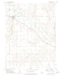
 1979 McCook1979 Print · USGSThe Republican River valley of southwest Nebraska is seen here in the late seventies, a region of rail-connected river towns and extensive irrigation. Genealogists and local historians can trace family ties through McCook, the Burlington Northern line, and water landmarks like Medicine Creek.
 - 1979 Map of Benkelman
 1979 Benkelman1979 Print · USGSSouthwestern Nebraska in the late seventies is shown as a network of river-valley towns and high-plains ranching country. Genealogists and researchers can trace the rail corridor through Benkelman, Culbertson, and Haigler, or locate the reservoir lands at Enders.
 - 2011 Map of Culbertson, 2011 Print
 2011 Culbertson2011 Print · USGSCovers Hitchcock County, including Culbertson, Red Willow County, and other nearby areas
 - 2011 Map of Beverly, 2011 Print
 2011 Beverly2011 Print · USGSCovers Hitchcock County, including Beverly, Hayes County, and other nearby areas
 - 2011 Map of Burger Canyon SE, 2011 Print
 2011 Burger Canyon SE2011 Print · USGSCovers Hitchcock County, including Red Willow County, Frontier County, and other nearby areas
 - 2011 Map of Culbertson NW, 2011 Print
 2011 Culbertson NW2011 Print · USGSCovers Hitchcock County, including United States, Nebraska, and other nearby areas
Showing maps 1-25 of 81
Top cities of Hitchcock County
Frequently asked questions
- What are the different types of historical maps available for Hitchcock County?
- What is the oldest map of Hitchcock County?
- Where can I purchase historical maps of Hitchcock County for my home or office?
- Where can I download high-res historical maps of Hitchcock County?
- Are there historical topographic maps available for Hitchcock County?
- Is there historical aerial imagery available for Hitchcock County?
- Where are historical maps of Hitchcock County sourced from?