2010s Maps of Hitchcock County, Nebraska
Explore 45 historic maps of Hitchcock County from the 2010s. These maps offer a rare glimpse into what life looked like during the 2010s — showing old roads, neighborhoods, homes, and landmarks that have changed or disappeared over time.
Whether you're researching your family's past, planning a metal detecting trip, or studying how Hitchcock County's landscape evolved across the 2010s, these high-resolution maps are a powerful tool for exploring the history of this region.
- Focus on a specific era: All maps on this page are from the 2010s, giving you a focused view of this time period.
- See what’s changed: Compare century-old streets, trails, and buildings to today's modern landscape using overlays and satellite layers.
- Research with precision: Use these maps for genealogy, historical research, land use analysis, or educational projects.
- View, download, or print: Maps are fully viewable online in high resolution, and can be downloaded or printed for your own records.
Start exploring Hitchcock County's history through authentic maps from the 2010s. This is your window into the past.
Hitchcock County, NE maps
(45)- 2011 Map of Culbertson, 2011 Print
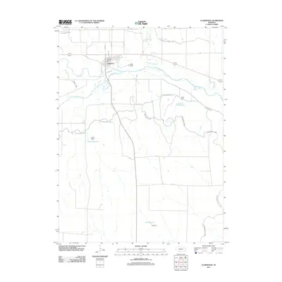 2011 Culbertson2011 Print · USGSCulbertson sits at the junction of the Republican River and Frenchman Creek during the early twenty-first century. Genealogists and local historians can trace the town's layout near the Culbertson Post Office or study the regional irrigation network at Korell Reservoir and Kugler Dam.
 - 2011 Map of Beverly, 2011 Print
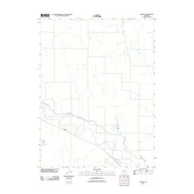 2011 Beverly2011 Print · USGSHitchcock County irrigation and ranching are on display here in the early twenty-first century. Researchers can trace the path of Frenchman Creek and the critical Culbertson Canal alongside the small settlement of Beverly.
 - 2011 Map of Burger Canyon SE, 2011 Print
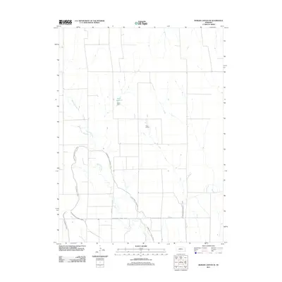 2011 Burger Canyon SE2011 Print · USGSRed Willow County in the early 2010s shows a landscape deeply defined by its irrigation history. Researchers can trace the sophisticated water networks of the Culbertson Canal and Blackwood Lateral Canal alongside Miller Reservoir.
 - 2011 Map of Culbertson NW, 2011 Print
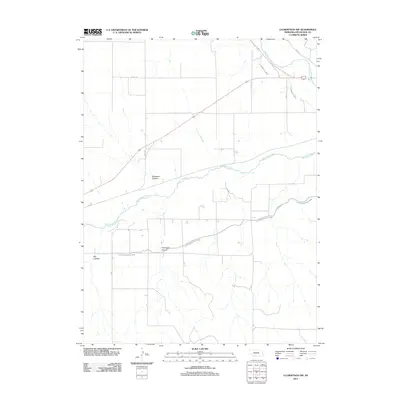 2011 Culbertson NW2011 Print · USGSThe Republican River valley in Nebraska is shown at the start of the 2010s, revealing the intricate water systems that sustain this high plains landscape. Genealogists and historians can trace family land along Massacre Canyon and follow the paths of the Upper Meeker Canal and Frenchman Creek.
 - 2011 Map of Culbertson SW, 2011 Print
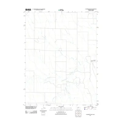 2011 Culbertson SW2011 Print · USGSThis Rawlins County borderland at the start of the 2010s shows a landscape shaped by deep canyons and seasonal creek forks. Genealogists and local historians can locate Cornell Cemetery or trace the drainage of Willow Creek and Burr Oak Canyon.
 - 2011 Map of Wauneta SE, 2011 Print
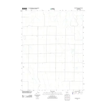 2011 Wauneta SE2011 Print · USGSChase County, Nebraska, is seen here in the early twenty-first century as a landscape of structured agricultural plots and rural flight paths. Researchers can trace the local transit network from Donze Airport along Neighborhood Rd and Co Line Rd.
 - 2011 Map of Stratton, 2011 Print
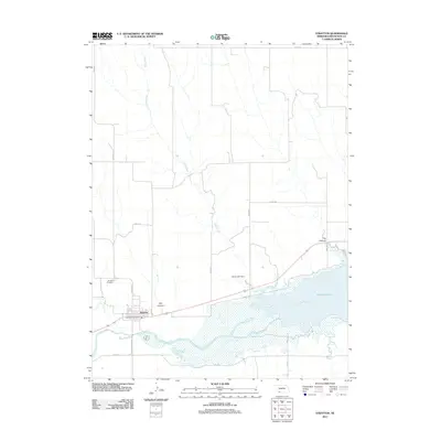 2011 Stratton2011 Print · USGSStratton and the western reaches of Swanson Lake are captured in this early 21st-century survey of Hitchcock County. Local researchers can trace the village layout and rural landmarks like Stratton Cemetery, Diehl Lake Dam, and the winding Camp Creek.
 - 2011 Map of Palisade, 2011 Print
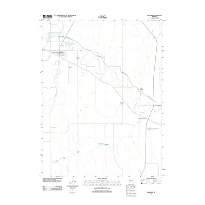 2011 Palisade2011 Print · USGSPalisade and the surrounding plains are captured in this 2011 survey, showing a landscape defined by the intersection of Stinking Water Creek and Frenchman Creek. Genealogists and local historians can locate the Palisade Post Office, Palisade Cemetery, and irrigation landmarks like the Culbertson Canal.
 - 2011 Map of Trenton, 2011 Print
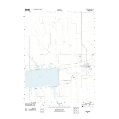 2011 Trenton2011 Print · USGSTrenton and the Republican River valley are documented here in the early twenty-first century, centered on the waters of Swanson Lake. Family historians and researchers can trace local landmarks like Trenton Cemetery, the Trenton Dam, and the UPPER MEEKER CANAL.
 - 2011 Map of Max NE, 2011 Print
 2011 Max NE2011 Print · USGSDundy County, Nebraska, is seen here in the early twenty-first century, showing a landscape shaped by the Republican River basin. Researchers can trace the water systems and local roads connecting Gardner Reservoir, Milken Canyon, and the banks of Muddy Creek.
 - 2011 Map of Trenton SW, 2011 Print
 2011 Trenton SW2011 Print · USGSThe Kansas-Nebraska borderlands in the early twenty-first century are defined by an expansive agricultural grid and vital water management. Genealogists and researchers can trace rural infrastructure along Veterans Memorial Hwy near Dahnke Reservoir.
 - 2011 Map of Palisade SW, 2011 Print
 2011 Palisade SW2011 Print · USGSHitchcock County at the start of the 2010s shows a landscape deeply tied to its water sources and rural traditions. Genealogists and local historians can trace the grounds of Pleasant Ridge Cemetery or the infrastructure of the Krotter-Rice Reservoir and Krotter Dam.
 - 2011 Map of Trenton SE, 2011 Print
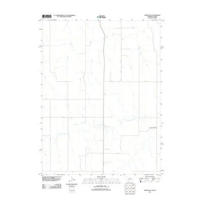 2011 Trenton SE2011 Print · USGSRawlins County at the turn of the decade remains a landscape of high-plains agriculture and quiet creek drainages. Researchers can trace the path of North Fork Driftwood Creek and the deep contours of Wildhorse Canyon among the rural section roads.
 - 2011 Map of Max SE, 2011 Print
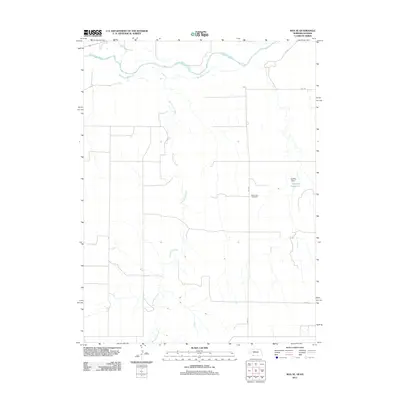 2011 Max SE2011 Print · USGSThe high plains of the Nebraska-Kansas border come into focus in the early 2010s, where rural life centers on the river valleys. Local researchers can locate the West Union Cemetery and trace the winding course of the Republican River and Burntwood Creek.
 - 2011 Map of Culbertson SE, 2011 Print
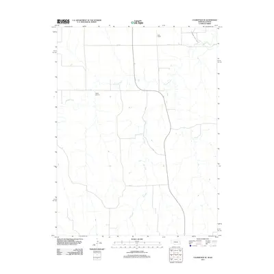 2011 Culbertson SE2011 Print · USGSThe Nebraska-Kansas borderlands appear here in the early twenty-first century as a landscape defined by irrigation and canyon topography. Genealogists and local historians can trace the paths of Elm Creek and locate landmarks like Hoyt Airport and Tipton Canyon.
 - 2014 Map of Palisade, 2014 Print
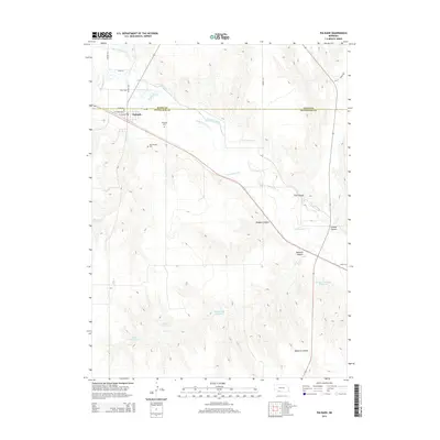 2014 Palisade2014 Print · USGSPalisade and the surrounding prairie of Hayes and Hitchcock counties are shown here during the early twenty-first century. Genealogists and local historians can locate the Old Palisade Cem and trace the paths of Frenchman Cr and the historic Massacre Canyon.
 - 2014 Map of Burger Canyon SE, 2014 Print
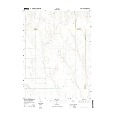 2014 Burger Canyon SE2014 Print · USGSRed Willow County and its neighbors are shown in the mid-2010s, revealing an intricate plains landscape shaped by water engineering. Local historians can trace the paths of the Culbertson Extension Canal, Blackwood Cr, and the private Hock Airport.
 - 2014 Map of Wauneta SE, 2014 Print
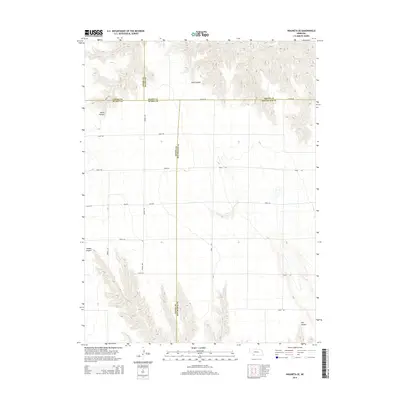 2014 Wauneta SE2014 Print · USGSThe high plains of southwestern Nebraska are captured here in the early twenty-first century, at the meeting point of four different counties. Researchers can trace rural property boundaries along Co Line Rd and explore the complex drainage of Sand Canyon and Milken Canyon.
 - 2014 Map of Max NE, 2014 Print
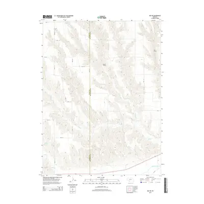 2014 Max NE2014 Print · USGSThe Dundy and Hitchcock county line in southwest Nebraska is captured here in the early twenty-first century, showing a landscape of carved canyons and prairie drainages. Genealogists and local researchers can locate Ash Grove Cemetery and trace the paths of E Muddy Cr and Gardner Reservoir.
 - 2014 Map of Palisade SW, 2014 Print
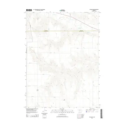 2014 Palisade SW2014 Print · USGSThe rural border of Hitchcock and Hayes counties is captured here in the early twenty-first century, showcasing a landscape of high plains drainage. Researchers can locate the Pleasant Ridge Cem and trace the paths of Frenchman Cr and Bobtail Cr through the local canyons.
 - 2014 Map of Trenton, 2014 Print
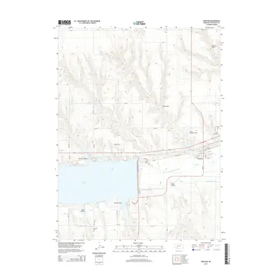 2014 Trenton2014 Print · USGSThe Republican River valley and Swanson Lake define this Hitchcock County landscape during the early twenty-first century. Researchers can locate town-site details in Trenton or trace local lineage through records at Saint James Cem and Rosefield Cem.
 - 2014 Map of Beverly, 2014 Print
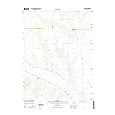 2014 Beverly2014 Print · USGSThe rural landscape of southwestern Nebraska is captured here in the early twenty-first century, centered on the settlement of Beverly. Researchers can trace the vital irrigation infrastructure of the region along Frenchman Creek, including the Culbertson Canal and Riverside Canal.
 - 2014 Map of Stratton, 2014 Print
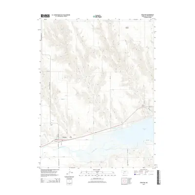 2014 Stratton2014 Print · USGSThe village of Stratton and the waters of the Republican River meet in this modern survey of Hitchcock County. Local researchers can trace the roads leading to the Stratton Cem and explore the shoreline of Swanson Lake and Diehl Lake.
 - 2014 Map of Culbertson SE, 2014 Print
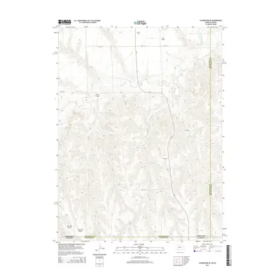 2014 Culbertson SE2014 Print · USGSThe Nebraska-Kansas border comes into focus in this recent survey of the High Plains canyon country. Genealogists and local historians can locate Grove Cem and trace the complex paths of Driftwood Cr and Burr Oak Canyon.
 - 2014 Map of Max SE, 2014 Print
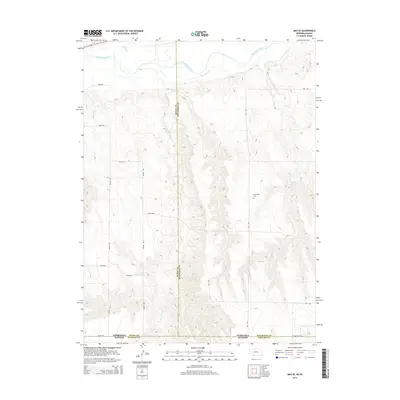 2014 Max SE2014 Print · USGSThe Kansas-Nebraska borderlands in the early twenty-first century reveal a landscape of deep creek beds and high plains agriculture. Genealogists and local historians can locate the West Union Cem or trace the paths of Burntwood Cr and Indian Cr.
Showing maps 1-25 of 45
Top cities of Hitchcock County
Frequently asked questions
- What are the different types of historical maps available for Hitchcock County?
- What is the oldest map of Hitchcock County?
- Where can I purchase historical maps of Hitchcock County for my home or office?
- Where can I download high-res historical maps of Hitchcock County?
- Are there historical topographic maps available for Hitchcock County?
- Is there historical aerial imagery available for Hitchcock County?
- Where are historical maps of Hitchcock County sourced from?