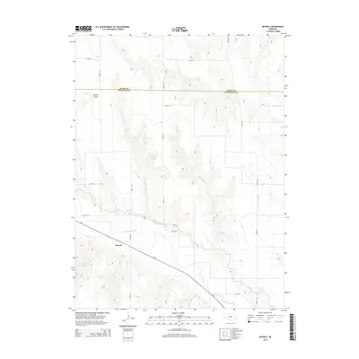
2014 Map of Beverly
USGS Topo · Published 2014About this map
Beverly lies at the intersection of irrigation history and prairie geography in this survey of southwestern Nebraska. The settlement is positioned along Us-6, a major transit artery through the region, where the terrain transitions from the broken draws of Sixmile Canyon into the productive valley of Frenchman Creek. The map documents a sophisticated water management network essential to the High Plains, featuring the Culbertson Canal, Riverside Canal, and storage sites like Nowka Reservoir and Beverly Reservoir. These features illustrate the engineering required to sustain agriculture across the Hayes Co and Hitchcock Co line. North of the valley, the landscape is defined by the winding course of Blackwood Cr and a rigid grid of local roads, such as Road 727 and Avenue 366, which carve the high ground into distinct sections.
Find a feature on this map
20 named features on this map. Tap any name to fly to it.
Don’t see what you’re looking for? This feature index may not catch every label — zoom into the map to look around manually.
Map Details
Editions of this 2014 Beverly Map
This is the sole edition of this map. No revisions or reprints were ever made.
Other maps of this area

1954 · McCook
USGS Topo · 1:250,000

1957 · McCook
USGS Topo · 1:250,000

1958 · McCook
USGS Topo · 1:250,000

1962 · Trenton
USGS Topo · 1:24,000

1962 · Culbertson NW
USGS Topo · 1:24,000
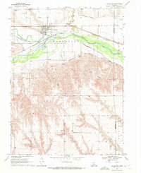
1970 · Culbertson
USGS Topo · 1:24,000

1970 · Burger Canyon SE
USGS Topo · 1:24,000

1970 · Burger Canyon East
USGS Topo · 1:24,000

1973 · Palisade
USGS Topo · 1:24,000
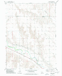
1973 · Beverly
USGS Topo · 1:24,000