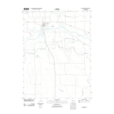
2011 Map of Culbertson
USGS Topo · Published 2011About this map
Culbertson serves as the focal point of this Hitchcock County survey, situated at the strategic confluence of Frenchman Creek and the Republican River. The settlement pattern is defined by a grid of local thoroughfares including Kleven Ave and Christy Ave, with the Culbertson Post Office anchoring the town center. The surrounding landscape reveals a sophisticated irrigation and water management network essential for High Plains agriculture, dominated by a series of man-made waterways. Significant infrastructure such as the Culbertson Canal, Upper Meeker Canal, and Driftwood Canal traverse the prairie. These canals are supported by localized storage systems including Kugler Reservoir and Korell Reservoir, each held by namesake structures like Kugler Dam and Korell Dam, illustrating the engineered nature of this river valley.
Find a feature on this map
29 named features on this map. Tap any name to fly to it.
Don’t see what you’re looking for? This feature index may not catch every label — zoom into the map to look around manually.
Map Details
Editions of this 2011 Culbertson Map
This is the sole edition of this map. No revisions or reprints were ever made.
Other maps of this area

1954 · McCook
USGS Topo · 1:250,000

1957 · McCook
USGS Topo · 1:250,000

1957 · McCook SW
USGS Topo · 1:24,000

1958 · McCook
USGS Topo · 1:250,000

1962 · Culbertson NW
USGS Topo · 1:24,000

1962 · Culbertson SW
USGS Topo · 1:24,000

1970 · Red Willow Dam
USGS Topo · 1:24,000
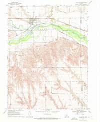
1970 · Culbertson
USGS Topo · 1:24,000

1970 · McCook West
USGS Topo · 1:24,000

1970 · Burger Canyon SE
USGS Topo · 1:24,000