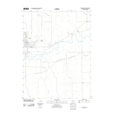
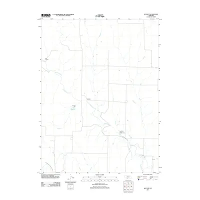
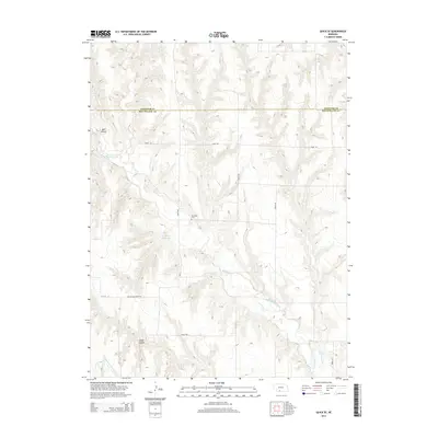
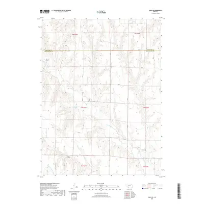
1970 Map of McCook West
USGS Topo · Published 1972About this map
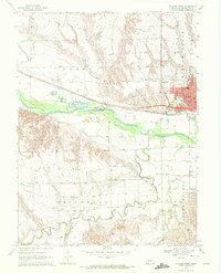
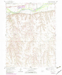
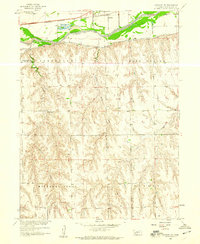
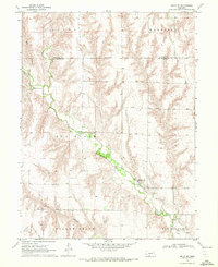
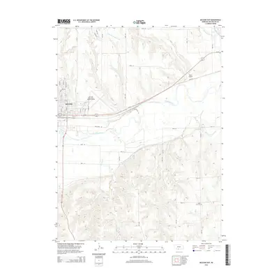
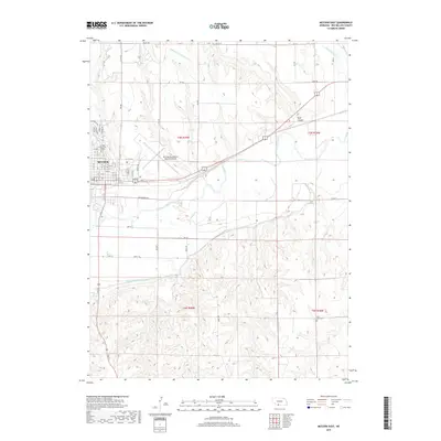
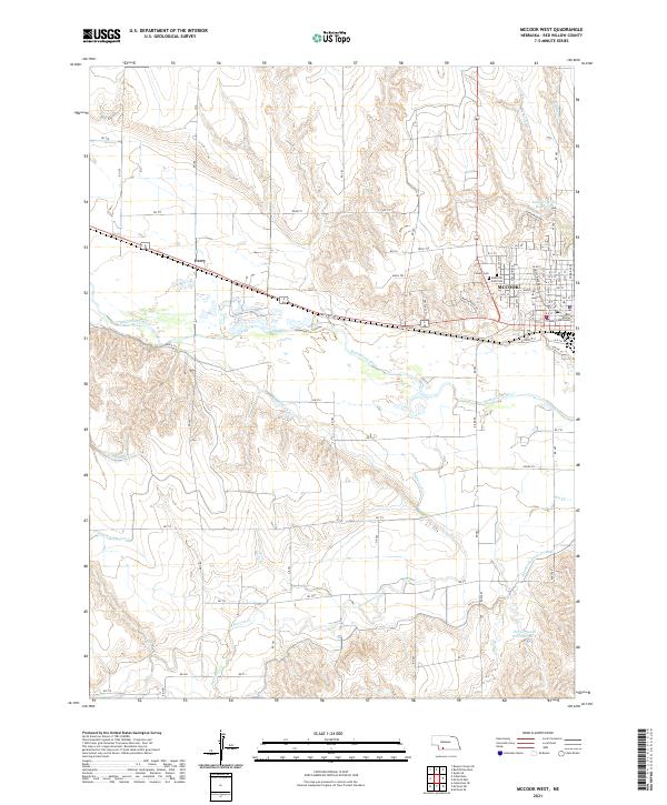
The Republican River valley and its complex irrigation network define this 1970 snapshot of the High Plains landscape. The city of Mc Cook serves as the regional anchor, showcasing mid-century infrastructure including the St Catherines Hosp, Norris Park, and several local schools like the North Ward Sch and Central Sch. The arrival of the Burlington Northern railroad supported the area's growth, running parallel to the river and the small settlement of Perry. Rural education is marked by numbered facilities such as School No 23 and School No 8, which were still prominent landmarks at this time. An intricate system of water management is visible through the Meeker Driftwood Canal and numerous Siphons, reflecting the critical importance of irrigation for agriculture along the Driftwood Creek and the broader Driftwood terrain.
Find a feature on this map
41 named features on this map. Tap any name to fly to it.
Don’t see what you’re looking for? This feature index may not catch every label — zoom into the map to look around manually.
Map Details
Editions of this 1970 McCook West Map
2 editions found
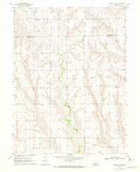
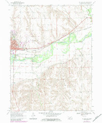
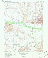
Historical Maps of McCook Through Time
41 maps found
1957 Danbury NE
Red Willow County, NE
1957 McCook SE
Red Willow County, NE
1957 McCook SW
Red Willow County, NE
1958 Danbury NE
Red Willow County, NE
1970 Bartley SW
Red Willow County, NE
1970 McCook East
Red Willow County, NE
1970 McCook West
Red Willow County, NE
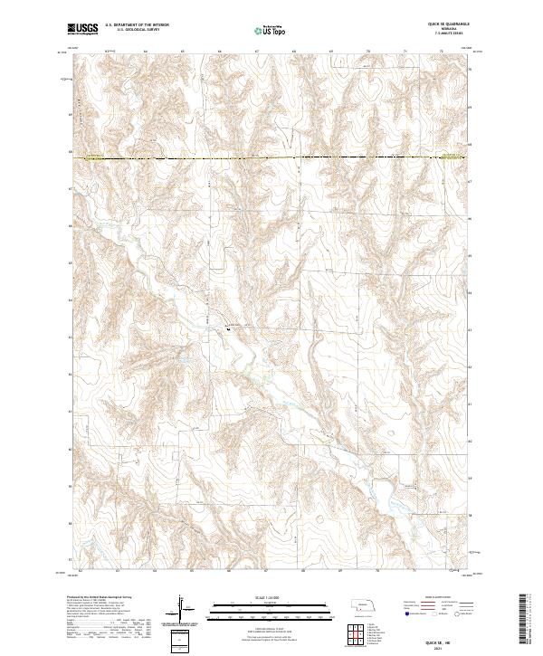
1970 Quick SE
Red Willow County, NE
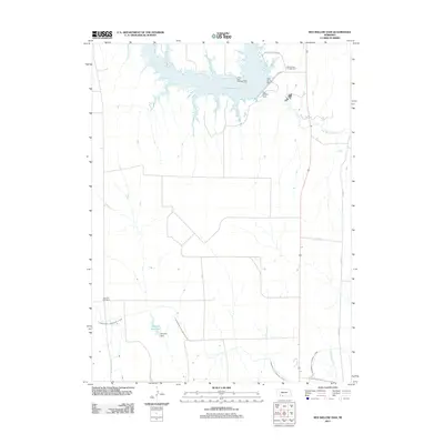
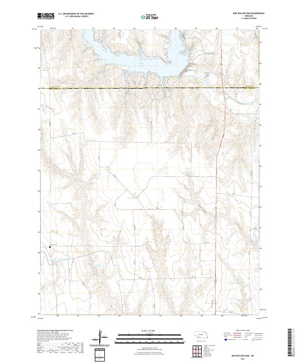
1970 Red Willow Dam
Red Willow County, NE
2011 Bartley SW
Red Willow County, NE
2011 Danbury NE
Red Willow County, NE
2011 McCook East
Red Willow County, NE
2011 McCook SE
Red Willow County, NE
2011 McCook SW
Red Willow County, NE
2011 McCook West
Red Willow County, NE
2011 Quick SE
Red Willow County, NE
2011 Red Willow Dam
Red Willow County, NE
2014 Bartley SW
Red Willow County, NE
2014 Danbury NE
Red Willow County, NE
2014 McCook East
Red Willow County, NE
2014 McCook SE
Red Willow County, NE
2014 McCook SW
Red Willow County, NE
2014 McCook West
Red Willow County, NE
2014 Quick SE
Red Willow County, NE
2014 Red Willow Dam
Red Willow County, NE
2017 Bartley SW
Red Willow County, NE
2017 Danbury NE
Red Willow County, NE
2017 McCook East
Red Willow County, NE
2017 McCook SE
Red Willow County, NE
2017 McCook SW
Red Willow County, NE
2017 McCook West
Red Willow County, NE
2017 Quick SE
Red Willow County, NE
2017 Red Willow Dam
Red Willow County, NE
2021 Bartley SW
Red Willow County, NE
2021 Danbury NE
Red Willow County, NE
2021 McCook East
Red Willow County, NE
2021 McCook SE
Red Willow County, NE
2021 McCook SW
Red Willow County, NE
2021 McCook West
Red Willow County, NE
2021 Quick SE
Red Willow County, NE
2021 Red Willow Dam
Red Willow County, NE