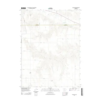
2014 Map of Palisade SW
USGS Topo · Published 2014About this map
The rolling drainage basins of southwestern Nebraska are clearly defined here along the border of Hitchcock and Hayes counties. Frenchman Cr flows across the northern section, feeding into the Krotter-Rice Reservoir and supporting a network of seasonal watercourses. The landscape is deeply carved by numerous draws and geographic features like Dry Canyon, which illustrates the local relief and erosion patterns typical of the region's cattle and grain country. Evidence of earlier settlement remains at Pleasant Ridge Cem, situated in the southern reach of the quadrangle. The map details a strictly organized grid of county roads, including Avenue 352A and Road 724, that intersect the western corridor marked by the Veterans Memorial Hwy. Tributaries like Bobtail Cr and Camp Cr snake through the southern hills, highlighting the natural topography that dictates the placement of rural infrastructure.
Find a feature on this map
17 named features on this map. Tap any name to fly to it.
Don’t see what you’re looking for? This feature index may not catch every label — zoom into the map to look around manually.
Map Details
Editions of this 2014 Palisade SW Map
This is the sole edition of this map. No revisions or reprints were ever made.
Other maps of this area

1954 · McCook
USGS Topo · 1:250,000

1957 · McCook
USGS Topo · 1:250,000

1958 · McCook
USGS Topo · 1:250,000

1962 · Trenton
USGS Topo · 1:24,000

1962 · Stratton
USGS Topo · 1:24,000

1962 · Max NE
USGS Topo · 1:24,000

1973 · Palisade
USGS Topo · 1:24,000

1973 · Palisade SW
USGS Topo · 1:24,000

1973 · Wauneta SE
USGS Topo · 1:24,000

1974 · Hamlet
USGS Topo · 1:24,000