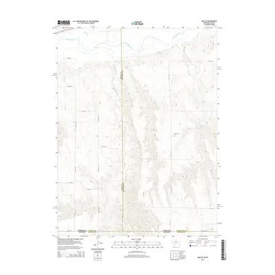
2014 Map of Max SE
USGS Topo · Published 2014About this map
The Republican River cuts through the northern reaches of this borderland landscape, where Nebraska meets Kansas. The terrain is defined by the drainage systems of Indian Cr and the winding Burntwood Cr, which carve through the high plains. Human presence is marked by a rigorous grid of section-line roads, including Ne State Line Rd and several numbered avenues that facilitate movement across the state boundary. For those researching local burial sites or family history, the West Union Cem stands as a primary landmark in the eastern portion of the survey. Significant water management is represented by the Golding Reservoir, reflecting the agricultural reliance on water resources in this dry region where Rawlins, Dundy, and Hitchcock counties converge.
Find a feature on this map
22 named features on this map. Tap any name to fly to it.
Don’t see what you’re looking for? This feature index may not catch every label — zoom into the map to look around manually.
Map Details
Editions of this 2014 Max SE Map
This is the sole edition of this map. No revisions or reprints were ever made.
Other maps of this area

1950 · Mc Donald
USGS Topo · 1:62,500

1951 · Mc Donald
USGS Topo · 1:62,500

1951 · Atwood
USGS Topo · 1:62,500

1954 · McCook
USGS Topo · 1:250,000

1954 · Goodland
USGS Topo · 1:250,000

1956 · Goodland
USGS Topo · 1:250,000

1957 · McCook
USGS Topo · 1:250,000

1957 · Goodland
USGS Topo · 1:250,000

1958 · McCook
USGS Topo · 1:250,000

1962 · Trenton SW
USGS Topo · 1:24,000