
1962 Map of Max NE
USGS Topo · Published 1964About this map
Muddy Creek and its tributary, East Muddy Creek, carve a deep network of drainage patterns across this Nebraska landscape before reaching the Republican River in the south. The transition from the high dissected plains of the Webster and Stratton precincts to the river valley is marked by significant topographic relief, including Milken Canyon and Hay Canyon. This early 1960s survey documents a rural economy structured around water and rail, with the Chicago Burlington and Quincy railroad line following the river's northern bank.
Find a feature on this map
21 named features on this map. Tap any name to fly to it.
Don’t see what you’re looking for? This feature index may not catch every label — zoom into the map to look around manually.
Map Details
Editions of this 1962 Max NE Map
This is the sole edition of this map. No revisions or reprints were ever made.
Other maps of this area

1954 · McCook
USGS Topo · 1:250,000

1957 · McCook
USGS Topo · 1:250,000

1958 · McCook
USGS Topo · 1:250,000

1962 · Trenton SW
USGS Topo · 1:24,000
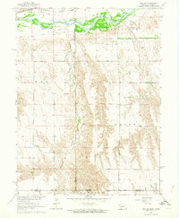
1962 · Max SE
USGS Topo · 1:24,000

1962 · Stratton
USGS Topo · 1:24,000
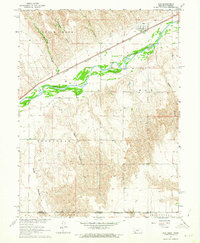
1962 · Max
USGS Topo · 1:24,000

1973 · Wauneta SW
USGS Topo · 1:24,000
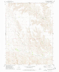
1973 · Rock Canyon
USGS Topo · 1:24,000

1973 · Palisade SW
USGS Topo · 1:24,000