1980s Maps of Holt County, Nebraska
Explore 20 historic maps of Holt County from the 1980s. These maps offer a rare glimpse into what life looked like during the 1980s — showing old roads, neighborhoods, homes, and landmarks that have changed or disappeared over time.
Whether you're researching your family's past, planning a metal detecting trip, or studying how Holt County's landscape evolved across the 1980s, these high-resolution maps are a powerful tool for exploring the history of this region.
- Focus on a specific era: All maps on this page are from the 1980s, giving you a focused view of this time period.
- See what’s changed: Compare century-old streets, trails, and buildings to today's modern landscape using overlays and satellite layers.
- Research with precision: Use these maps for genealogy, historical research, land use analysis, or educational projects.
- View, download, or print: Maps are fully viewable online in high resolution, and can be downloaded or printed for your own records.
Start exploring Holt County's history through authentic maps from the 1980s. This is your window into the past.
Holt County, NE maps
(20)- 1981 Map of Abbott Ranch
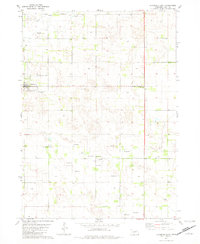
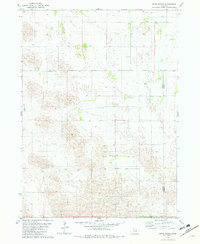
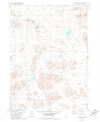
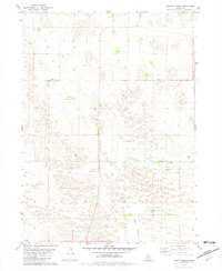 1981 Abbott Ranch1981 Print · USGSThe Nebraska Sandhills come into sharp focus in the early 1980s as ranching life follows the winding waters of Big Cedar Creek. Genealogists and local historians can trace legacy homesteads like Abbott Ranch and Price Ranch alongside rural landmarks like the Cedar Creek Ch.
 - 1981 Map of Swan Lake
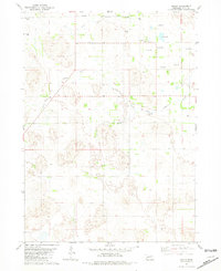
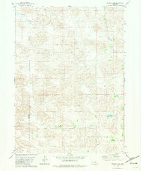
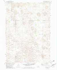
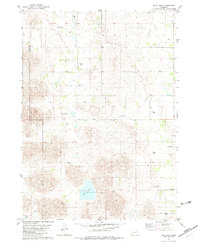
 1981 Swan Lake1981 Print · USGSHolt County's sandhills and prairie lakes are captured in the early eighties as a landscape of wide-open ranching country. Researchers can trace the rural infrastructure of the day, from the Swan Lake Sch to the waters of Maurice Lakebed and the South Fork Elkhorn River.
 - 1981 Map of Amelia
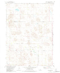
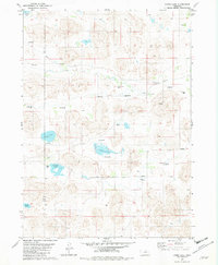
 1981 Amelia1981 Print · USGSIn the Nebraska Sandhills during the early 1980s, this area around the South Fork Elkhorn River was defined by ranching and small-town roots. Local historians can trace the community of Amelia and find landmarks like Bethany Ch and several Flowing Wells.2 unique versions available
 - 1981 Map of Goose Lake SW
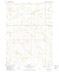
 1981 Goose Lake SW1981 Print · USGSThe Nebraska Sandhills come into focus in the early eighties at the boundary of Holt and Wheeler counties. Genealogists can locate Farmers Hill Cem, Conley Cem, and the old District 115 Sch among the artesian wells of Cache Creek.2 unique versions available
 - 1981 Map of Chambers East
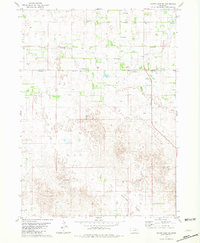
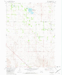
 1981 Chambers East1981 Print · USGSHolt County's rural landscape is captured here in the early 1980s, centered on the community of Chambers. Genealogists and local historians can trace the town's layout near Perkins Memorial Park and locate dozens of specific Flowing Wells across the prairie.2 unique versions available
 - 1981 Map of Bruner Lake
 1981 Bruner Lake1981 Print · USGSThe remote ranching country along the Rock and Holt County line is captured here in the early 1980s. Researchers can locate established homesteads like Indian Hollow Ranch and Taylor Ranch alongside water features such as Bruner Lake.
 - 1981 Map of Goose Lake NE
 1981 Goose Lake NE1981 Print · USGSHolt County's prairie landscape in the early eighties is defined by its meandering waterways and quiet rural landmarks. Researchers can locate family roots at the Trussel Cem, visit the Bethany Ch, or trace the winding South Fork Elkhorn River.3 unique versions available
 - 1981 Map of Goose Lake, 1982 Print
 1981 Goose Lake1982 Print · USGSThe Nebraska Sandhills come alive in the early eighties as this survey documents the rural boundary of Holt and Wheeler Counties. Genealogists and outdoorsmen can trace remote landmarks like the Corning Sch, the settlement of Hoerle, and the Goose Lake State Wildlife Area.2 unique versions available
 - 1981 Map of Miles Ranch, 1982 Print
 1981 Miles Ranch1982 Print · USGSGarfield and Wheeler counties are captured in the early eighties as a world of expansive ranching operations and isolated prairie outposts. Genealogists and historians can trace family landholdings like Miles Ranch, Schmidt Ranch, and the small settlement of Dumas.2 unique versions available
 - 1981 Map of Carson Lake, 1982 Print
 1981 Carson Lake1982 Print · USGSGarfield County ranching lands are captured in the early 1980s, documenting a remote landscape defined by wide meadows and creek beds. Genealogists and local historians can trace legacy holdings like Taylor Ranch and Noyes Ranch near the shores of Carson Lake.
 - 1981 Map of Chain Lake, 1982 Print
 1981 Chain Lake1982 Print · USGSGarfield and Holt Counties are shown in the early eighties, capturing the ranching landscape of the Nebraska Sandhills. Genealogists and historians can trace family-named sites such as Ballagh Ranch and the community hub of Erina Ch near the banks of Big Cedar Creek.2 unique versions available
 - 1981 Map of Chambers West, 1982 Print
 1981 Chambers West1982 Print · USGSHolt County ranching country comes into focus in the early eighties, centered on the village of Chambers. Genealogists and historians can trace local landmarks like the Fairground, the rural Cem, and the numerous Flowing Wells dotting the South Fork Elkhorn River valley.2 unique versions available
 - 1982 Map of Cottonwood Lake
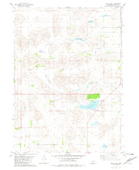
 1982 Cottonwood Lake1982 Print · USGSThe Nebraska Sandhills of Holt County appear as a landscape of hidden water during the early eighties. Genealogists and local historians can locate Sch No 200, a remote Landing Strip, and specific water sources like Cottonwood Lake and Whipple Lake.
 - 1982 Map of Dora Lake
 1982 Dora Lake1982 Print · USGSThe Nebraska sandhills on the Rock and Holt County line are captured here in the early 1980s. Local researchers can locate artesian Flowing Well sites, School No 205, and the waters of Dora Lake and Frazier Lake.
 - 1982 Map of Lambs Lake
 1982 Lambs Lake1982 Print · USGSThe Nebraska Sandhills on the Rock and Holt County line are captured here in the early eighties, showing a landscape shaped by water and ranching. Researchers can locate the small settlements of Brown and Tonawanda or trace the drainage of Holt Creek and Lambs Lake.
 - 1985 Map of O'Neill
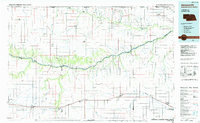
 1985 O'Neill1985 Print · USGSThe Elkhorn River valley and its surrounding plains are captured in the mid-1980s, showing a landscape defined by rail lines and ranching hubs. Genealogists and local historians can trace the rail networks of the Chicago and North Western and find smaller locales like Knievels Corner, Amelia, and Venus.2 unique versions available
 - 1985 Map of Ainsworth
 1985 Ainsworth1985 Print · USGSThe Nebraska-South Dakota borderlands come into focus in the mid-1980s, documenting a landscape of river breaks and remote ranching hubs. Genealogists can trace the rural layout of Ainsworth, Bassett, and Springview or follow the Chicago and North Western rail line.2 unique versions available
 - 1985 Map of Rose
 1985 Rose1985 Print · USGSNorth Central Nebraska in the mid-eighties shows a sprawling landscape of Sandhills lakes and remote ranching outposts. Genealogists and researchers can trace the rural crossroads of Rose, Duff, and Raven or locate landmarks along the Calamus River and Gracie Flats.2 unique versions available
 - 1986 Map of Atkinson
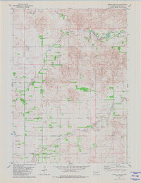
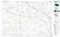 1986 Atkinson1986 Print · USGSBoyd and Holt counties come into focus during the mid-eighties as they span the river valleys of the Nebraska and South Dakota border. Genealogists can locate family-named townships and remote outposts like Opportunity, Pishelville, and the Yankton Indian Reservation.2 unique versions available
 - 1989 Map of O'Neill
 1989 O'Neill1989 Print · USGSThe Nebraska-South Dakota borderlands are captured here in the late eighties, documenting the ranching and rail infrastructure of the High Plains. Genealogists and collectors can trace historic prairie towns like Monowi, Pishelville, and Santee along the Niobrara River.
End of results
Showing maps 1-20 of 20
Top cities of Holt County
- O'Neill historical maps
- Atkinson historical maps
- Stuart historical maps
- Ewing historical maps
- Chambers historical maps
- Page historical maps
See more
Frequently asked questions
- What are the different types of historical maps available for Holt County?
- What is the oldest map of Holt County?
- Where can I purchase historical maps of Holt County for my home or office?
- Where can I download high-res historical maps of Holt County?
- Are there historical topographic maps available for Holt County?
- Is there historical aerial imagery available for Holt County?
- Where are historical maps of Holt County sourced from?