1960s Maps of Otoe County, Nebraska
Explore 19 historic maps of Otoe County from the 1960s. These maps offer a rare glimpse into what life looked like during the 1960s — showing old roads, neighborhoods, homes, and landmarks that have changed or disappeared over time.
Whether you're researching your family's past, planning a metal detecting trip, or studying how Otoe County's landscape evolved across the 1960s, these high-resolution maps are a powerful tool for exploring the history of this region.
- Focus on a specific era: All maps on this page are from the 1960s, giving you a focused view of this time period.
- See what’s changed: Compare century-old streets, trails, and buildings to today's modern landscape using overlays and satellite layers.
- Research with precision: Use these maps for genealogy, historical research, land use analysis, or educational projects.
- View, download, or print: Maps are fully viewable online in high resolution, and can be downloaded or printed for your own records.
Start exploring Otoe County's history through authentic maps from the 1960s. This is your window into the past.
Otoe County, NE maps
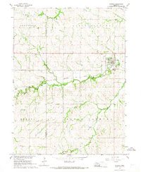
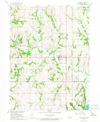
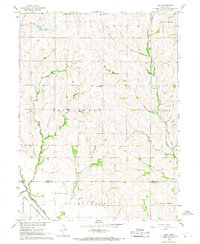
(19)- 1965 Map of Douglas, 1966 Print
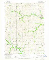 1965 Douglas1966 Print · USGSThe rolling hills of Otoe and Johnson counties appear here in the mid-1960s, centered on the village of Douglas. Researchers can trace the Missouri Pacific railroad line and find family sites like Solon Cem and St Martins Cem.
 - 1966 Map of Dunbar
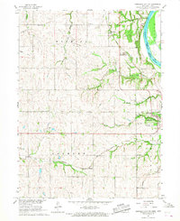
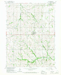
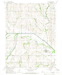
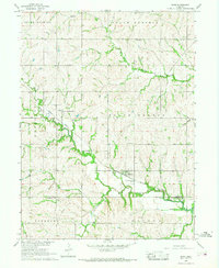
 1966 Dunbar1966 Print · USGSOtoe County in the mid-1960s reveals a prairie landscape of river-valley settlements and rural school districts. Genealogists can trace family roots at Union Cem, locate the Smallfoot Sch, or follow the Chicago Burlington and Quincy rail line.
 - 1966 Map of Nebraska City NW, 1967 Print
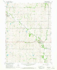
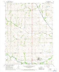
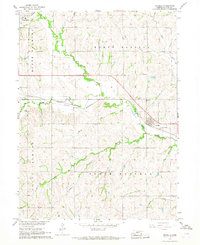
 1966 Nebraska City NW1967 Print · USGSOtoe County at the height of the 1960s reveals a landscape shaped by historic transit and rural school districts. Genealogists and historians can trace the Steam Wagon Road, locate family-named sites like Cowles Cem, and see the early layout of Arbor Lodge State Park.
 - 1966 Map of Avoca, 1967 Print
 1966 Avoca1967 Print · USGSMid-century Cass County is defined here by the small-town center of Avoca and its surrounding network of limestone quarries and rural schools. Genealogists and local historians can locate St Johns Cem, the Center Hill Stone Sch, and private landmarks like Brown Airport.
 - 1966 Map of Eagle, 1967 Print
 1966 Eagle1967 Print · USGSIn the mid-1960s, this portion of eastern Nebraska was a vital intersection for the Missouri Pacific and Rock Island railroads. Researchers can locate numerous family burial sites like Wright Cem and Bunten Cem or trace the early development of Eagle and Alvo.
 - 1966 Map of Julian, 1968 Print
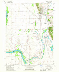
 1966 Julian1968 Print · USGSThe Missouri River bottoms and Nebraska uplands are captured here in the mid-1960s as the river defines the borders of three states. Researchers can trace rural life through the locations of St Bernards Ch, Minersville, and several country schools like Hazel Dell Sch.2 unique versions available
 - 1966 Map of Cook, 1968 Print
 1966 Cook1968 Print · USGSSoutheast Nebraska in the mid-sixties reveals a landscape shaped by the Missouri Pacific railroad and the Little Nemaha River. Trace local history through the St Pauls Ch, Evergreen Sch, and old burial grounds like Cook Cem.
 - 1966 Map of Palmyra, 1968 Print
 1966 Palmyra1968 Print · USGSIn the mid-1960s, these Otoe and Lancaster county borderlands were defined by the winding Little Nemaha River and the CHICAGO BURLINGTON AND QUINCY railroad. Genealogists and local historians can trace family locations near Palmyra and Bennet, or locate rural burials at Rosewood Cem and Mt Zion Cem.
 - 1966 Map of Talmage, 1968 Print
 1966 Talmage1968 Print · USGSThe river-and-rail landscape of southeast Nebraska is captured here in the mid-1960s. Genealogists can trace family footprints across rural sites like Walnut Hill Sch, Livingston Cem, and the village of Talmage.
 - 1966 Map of Nebraska City, 1968 Print
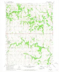
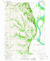
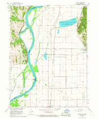
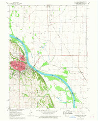 1966 Nebraska City1968 Print · USGSNebraska City and the Missouri River bottoms are captured here in the mid-sixties as the region's rail and agricultural networks remained in full swing. Researchers can trace family sites at Wyuka Cemetery, St Marys Cem, and local institutions like St Mary Hospital.2 unique versions available
 - 1966 Map of Elmwood, 1968 Print
 1966 Elmwood1968 Print · USGSSoutheast Nebraska’s rolling farm country is captured here during the mid-1960s, centered on the village of Elmwood. Researchers can trace the Missouri Pacific rail line and locate rural landmarks like Pleasant Hill Cem and the Parriott Landing Strip.
 - 1966 Map of Unadilla, 1968 Print
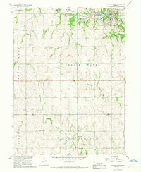
 1966 Unadilla1968 Print · USGSSoutheast Nebraska's agricultural heartland is documented here in the mid-1960s as the rail and river economy centered on Unadilla. Researchers can trace the Chicago Burlington and Quincy rail line and locate ancestral sites like Thompson Cem and Unadilla Cem.
 - 1966 Map of Syracuse, 1968 Print
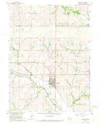 1966 Syracuse1968 Print · USGSSyracuse and Otoe thrive as rail-connected farming hubs in the mid-1960s, framed by the meandering Little Nemaha River. Researchers can trace the legacy of rural education and industry through sites like School No 10, several Quarries, and the Warner Cem.
 - 1966 Map of Nehawka, 1968 Print
 1966 Nehawka1968 Print · USGSSoutheast Nebraska in the mid-sixties reveals a landscape of limestone quarries and creek-side settlements along the Missouri Pacific line. Genealogists can trace family roots at Mt Pleasant Cem, Taylor Sch, and the riverside community of Union.
 - 1966 Map of Hamburg, 1968 Print
 1966 Hamburg1968 Print · USGSSouthwest Fremont County is captured here in the late sixties at the three-state junction of Iowa, Missouri, and Nebraska. Genealogists and historians can trace the town of Hamburg, the Hamburg Cem, and the path of the Chicago Burlington and Quincy railroad.2 unique versions available
 - 1966 Map of Mc Paul, 1968 Print
 1966 Mc Paul1968 Print · USGSMissouri River bottomlands along the Iowa-Nebraska border were dominated by complex drainage works and rail corridors during the late sixties. Researchers can trace family sites at Kenosha Cem, locate the Ervine Sch, or follow the Chicago Burlington and Quincy tracks through McPaul.3 unique versions available
 - 1966 Map of Weeping Water, 1968 Print
 1966 Weeping Water1968 Print · USGSSoutheast Nebraska was a landscape of active limestone production and rural school districts in the mid-sixties. Trace the Missouri Pacific rail line as it passes through Weeping Water near local landmarks like Avoca Cem and Pine Sch.
 - 1966 Map of Paul, 1968 Print
 1966 Paul1968 Print · USGSSoutheast Nebraska was a landscape of established farmsteads and rail-side villages in the mid-sixties. Researchers can trace the legacy of early settlements through sites like Paul, Bloomingdale Cem, and the tracks of the Missouri Pacific.
 - 1966 Map of Burr, 1968 Print
 1966 Burr1968 Print · USGSThe rural landscape of Otoe and Johnson Counties is captured here in the mid-1960s, centered on the village of Burr. Genealogists and local historians can trace ancestral sites like Dughman Cem, Hopewell Ch, and the Missouri Pacific rail line.
End of results
Showing maps 1-19 of 19
Top cities of Otoe County
- Nebraska City historical maps
- Syracuse historical maps
- Palmyra historical maps
- Unadilla historical maps
- Talmage historical maps
- Dunbar historical maps
See more
Frequently asked questions
- What are the different types of historical maps available for Otoe County?
- What is the oldest map of Otoe County?
- Where can I purchase historical maps of Otoe County for my home or office?
- Where can I download high-res historical maps of Otoe County?
- Are there historical topographic maps available for Otoe County?
- Is there historical aerial imagery available for Otoe County?
- Where are historical maps of Otoe County sourced from?