2010s Maps of Otoe County, Nebraska
Explore 62 historic maps of Otoe County from the 2010s. These maps offer a rare glimpse into what life looked like during the 2010s — showing old roads, neighborhoods, homes, and landmarks that have changed or disappeared over time.
Whether you're researching your family's past, planning a metal detecting trip, or studying how Otoe County's landscape evolved across the 2010s, these high-resolution maps are a powerful tool for exploring the history of this region.
- Focus on a specific era: All maps on this page are from the 2010s, giving you a focused view of this time period.
- See what’s changed: Compare century-old streets, trails, and buildings to today's modern landscape using overlays and satellite layers.
- Research with precision: Use these maps for genealogy, historical research, land use analysis, or educational projects.
- View, download, or print: Maps are fully viewable online in high resolution, and can be downloaded or printed for your own records.
Start exploring Otoe County's history through authentic maps from the 2010s. This is your window into the past.
Otoe County, NE maps
(62)- 2010 Map of Julian, 2010 Print
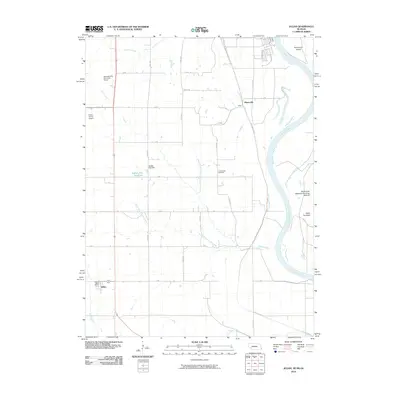 2010 Julian2010 Print · USGSJulian and the Missouri River bottoms are shown in the early twenty-first century as the landscape balances its agricultural roots with modern infrastructure. Researchers can locate Camp Creek Cemetery, the village of Minersville, and the Julian Post Office.
 - 2010 Map of Hamburg, 2010 Print
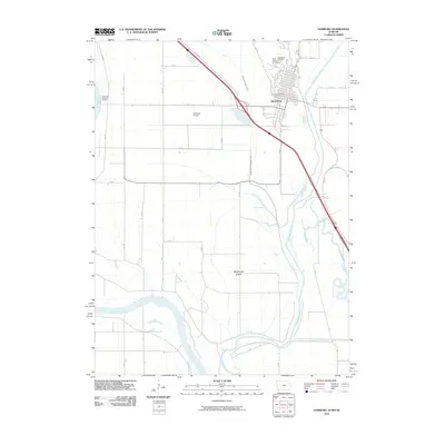 2010 Hamburg2010 Print · USGSFremont County sits at a riverine crossroads in the first decade of the millennium, where drainage engineering shapes the fertile bottoms. Researchers can trace the layout of Hamburg, locate Saint Marys Cemetery, and follow the path of the Nishnabotna River.
 - 2010 Map of Nebraska City, 2010 Print
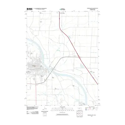 2010 Nebraska City2010 Print · USGSNebraska City and the Missouri River bottoms are captured here during the first decade of the millennium. Researchers can trace family history at Wyuka Cemetery or locate the rural crossroads of Percival and Payne Junction along the river's edge.
 - 2010 Map of Nebraska City NW, 2010 Print
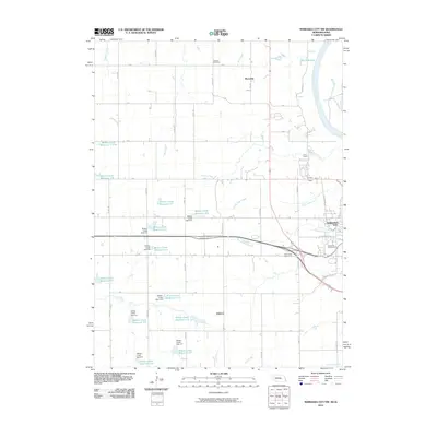 2010 Nebraska City NW2010 Print · USGSNear the Missouri River in the 2010s, this area north of Nebraska City showcases a landscape of modern water management and local heritage. Researchers can locate Cowles Cemetery, the settlement of Wyoming, and various catchments like Wilson Creek Reservoir 5-H.
 - 2010 Map of McPaul, 2010 Print
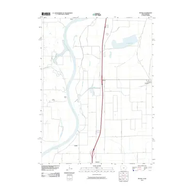 2010 McPaul2010 Print · USGSThe Missouri River bottomlands in the early twenty-first century reveal a landscape shaped by both nature and drainage engineering. Researchers can locate family-named landmarks like Kenosha Cemetery and Eatons Cemetery near the riverfront at Jones Point.
 - 2011 Map of Nebraska City NW, 2011 Print
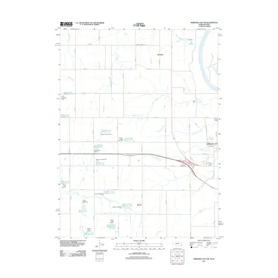 2011 Nebraska City NW2011 Print · USGSThe rural uplands of Otoe County come into focus during the early twenty-first century as agricultural lands meet the bluffs of the Missouri River. Genealogists and local historians can locate Cowles Cemetery and trace the small settlements of Wyoming and Elberon among a unique system of dozens of upland reservoirs.
 - 2011 Map of Paul, 2011 Print
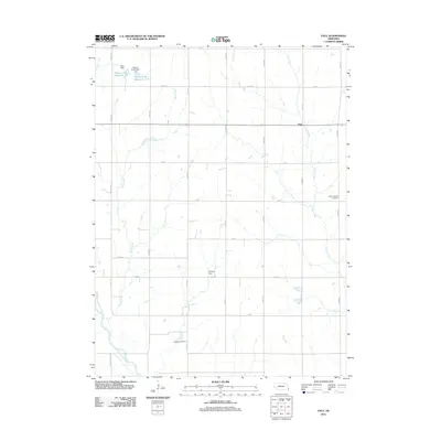 2011 Paul2011 Print · USGSOtoe County's agricultural grid is well-established in this recent survey of the Nebraska plains. Genealogists and local historians can locate Bloomingdale Cemetery and Lafayette Cemetery, or trace the path of the Little Nemaha River near the village of Paul.
 - 2011 Map of Nebraska City, 2011 Print
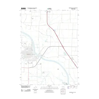 2011 Nebraska City2011 Print · USGSAcross the Missouri River in the early twenty-first century, Nebraska's orchards meet the rich Iowa bottomlands near the crossing at Nebraska City. Researchers can trace local burial history at Wyuka Cemetery or locate regional aviation hubs like Grundman Airport and Roll Brothers Airport.
 - 2011 Map of Nehawka, 2011 Print
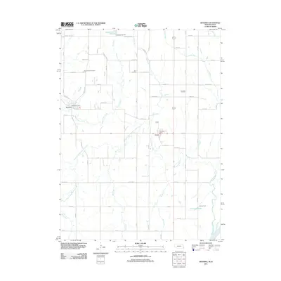 2011 Nehawka2011 Print · USGSCass County agriculture and rural life take center stage in this 2011 survey of the Nehawka and Union area. Researchers can trace family history at Mount Pleasant Cemetery or locate historic civic centers like the Nehawka Post Office and Union Post Office.
 - 2011 Map of Julian, 2011 Print
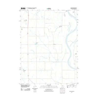 2011 Julian2011 Print · USGSThe river bluffs and agricultural plateaus of Nemaha County come to life in this survey from the early 2010s. Researchers can locate the Julian Post Office, trace the banks of the Missouri River near Schemmel Island, and find the historic Camp Creek Cemetery.
 - 2011 Map of Eagle, 2011 Print
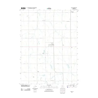 2011 Eagle2011 Print · USGSEastern Nebraska's agricultural heartland is documented here in the early twenty-first century, centered on the communities of Eagle and Alvo. Genealogists can trace local lineages through numerous burial sites like Camp Creek Cemetery and Bunten Cemetery along the banks of Hooper Creek.
 - 2011 Map of Cook, 2011 Print
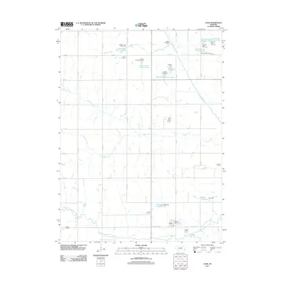 2011 Cook2011 Print · USGSNear the start of the twenty-first century, this corner of Johnson County remains a landscape of managed waterways and rural tradition. Genealogists can locate Cook Cemetery, Schacht Cemetery, or the Cook Post Office tucked near the South Fork Little Nemaha River.
 - 2011 Map of Dunbar, 2011 Print
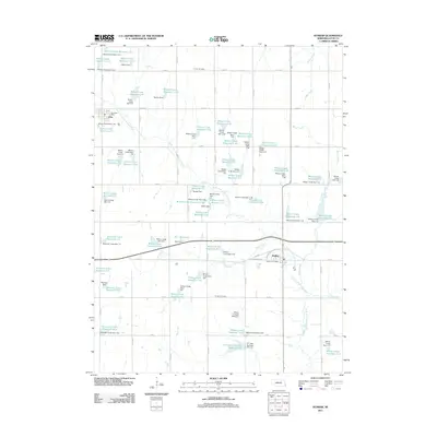 2011 Dunbar2011 Print · USGSOtoe County, Nebraska, reveals a meticulously managed rural landscape in the early twenty-first century. Researchers can trace local lineage at Union Cemetery or explore the massive network of water projects including Burr Reservoir and Dieter Dam.
 - 2011 Map of Burr, 2011 Print
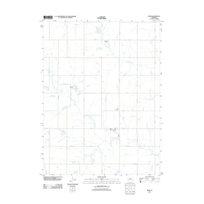 2011 Burr2011 Print · USGSSoutheast Nebraska’s agricultural landscape is captured here in the early twenty-first century, centered on the community of Burr. Researchers can locate family sites near Dughman Cemetery and Hope Cemetery or trace the South Fork Little Nemaha River.
 - 2011 Map of Avoca, 2011 Print
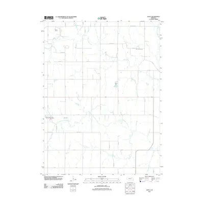 2011 Avoca2011 Print · USGSAvoca and its surrounding Cass County farmland are captured here in the early 2000s, showing a landscape defined by the winding branches of the Weeping Water. Researchers can trace local landmarks like Saint Johns Cemetery, Browns Airport, and the Avoca Post Office.
 - 2011 Map of Elmwood, 2011 Print
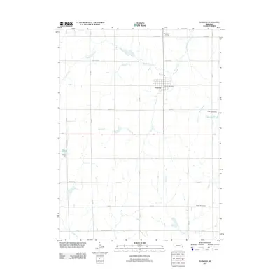 2011 Elmwood2011 Print · USGSElmwood and its surrounding Cass County farmland are captured here in the early twenty-first century as a landscape of structured agriculture and water management. Researchers can locate the Pleasant Hill Cemetery, trace the path of Stove Creek, and find the Elmwood Post Office.
 - 2011 Map of Unadilla, 2011 Print
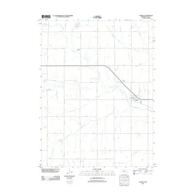 2011 Unadilla2011 Print · USGSOtoe County's agricultural heartland is documented here in the early twenty-first century, centered on the village of Unadilla. Local historians can trace family roots through the Thompson Cemetery or locate the Unadilla Post Office near the Little Nemaha River.
 - 2011 Map of Palmyra, 2011 Print
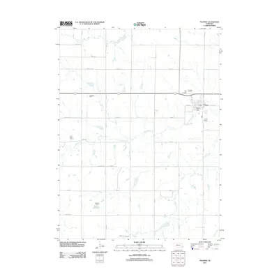 2011 Palmyra2011 Print · USGSPalmyra and the surrounding Lancaster County farmland are captured here in the early twenty-first century. Genealogists and researchers can locate several burial grounds like Saint Leos Cemetery and Mount Zion Cemetery, or trace the winding Little Nemaha River.
 - 2011 Map of Weeping Water, 2011 Print
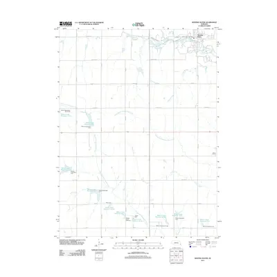 2011 Weeping Water2011 Print · USGSWeeping Water and the surrounding Cass County farmland are captured here in the early twenty-first century, showing a landscape defined by water management. Genealogists and researchers can locate Avoca Cemetery and trace the complex network of local reservoirs like Wilson Creek Reservoir 12-S.
 - 2011 Map of Douglas, 2011 Print
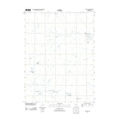 2011 Douglas2011 Print · USGSEastern Nebraska farming country near the Otoe and Lancaster border is centered here in the early twenty-first century. Researchers can locate family burial sites at Solon Cemetery and Saint Martins Cemetery or trace the drainage of the South Fork Little Nemaha River.
 - 2012 Map of Syracuse, 2012 Print
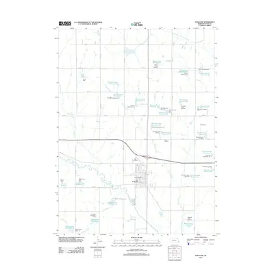 2012 Syracuse2012 Print · USGSSyracuse and the surrounding Otoe County countryside are captured here during a period of extensive water management and civic stability. Researchers can trace family history at Park Hill Cemetery or locate local landmarks like the Syracuse Post Office and Chase Hoppe Reservoir 9-A.
 - 2012 Map of Talmage, 2012 Print
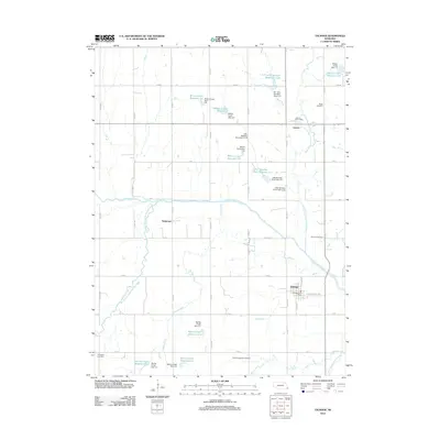 2012 Talmage2012 Print · USGSThis Nebraska agricultural landscape near the convergence of the Little Nemaha forks shows a century of water management and rural community. Genealogists and local historians can locate Biggs Cemetery, trace the vanished streets of Tangeman, or find the Lorton Post Office and Talmage Post Office.
 - 2013 Map of Hamburg, 2013 Print
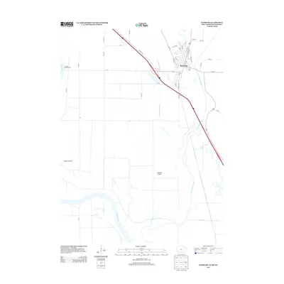 2013 Hamburg2013 Print · USGSHamburg occupies a unique tri-state river junction during the early twenty-first century, where the Iowa and Missouri borders meet the Nebraska shoreline. Genealogists and local historians can trace the town grid and landmarks like McKissick Island or the Hamburg-Mitchell Access.
 - 2013 Map of McPaul, 2013 Print
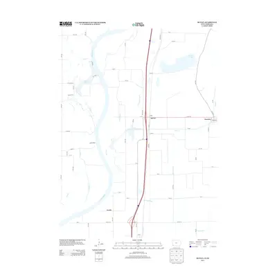 2013 McPaul2013 Print · USGSFremont County, Iowa, and the Nebraska borderlands are shown here in the early twenty-first century as the Missouri River floodplain meets the eastern bluffs. Trace the layout of Thurman, the settlement at McPaul, and local water features like Forneys Lake.
 - 2014 Map of Syracuse, 2014 Print
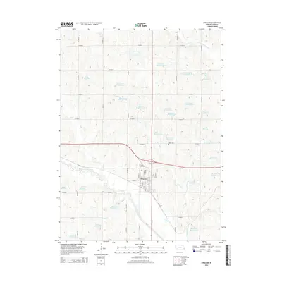 2014 Syracuse2014 Print · USGSSyracuse and the surrounding Otoe County prairie are documented here in the early twenty-first century as the region manages its vital water resources. Local researchers can locate Park Hill Cem, Warner Cem, and a vast network of family-named water works like Fargo Reservoir.
Showing maps 1-25 of 62
Top cities of Otoe County
- Nebraska City historical maps
- Syracuse historical maps
- Palmyra historical maps
- Unadilla historical maps
- Talmage historical maps
- Dunbar historical maps
See more
Frequently asked questions
- What are the different types of historical maps available for Otoe County?
- What is the oldest map of Otoe County?
- Where can I purchase historical maps of Otoe County for my home or office?
- Where can I download high-res historical maps of Otoe County?
- Are there historical topographic maps available for Otoe County?
- Is there historical aerial imagery available for Otoe County?
- Where are historical maps of Otoe County sourced from?