2010s Maps of Pawnee County, Nebraska
Explore 36 historic maps of Pawnee County from the 2010s. These maps offer a rare glimpse into what life looked like during the 2010s — showing old roads, neighborhoods, homes, and landmarks that have changed or disappeared over time.
Whether you're researching your family's past, planning a metal detecting trip, or studying how Pawnee County's landscape evolved across the 2010s, these high-resolution maps are a powerful tool for exploring the history of this region.
- Focus on a specific era: All maps on this page are from the 2010s, giving you a focused view of this time period.
- See what’s changed: Compare century-old streets, trails, and buildings to today's modern landscape using overlays and satellite layers.
- Research with precision: Use these maps for genealogy, historical research, land use analysis, or educational projects.
- View, download, or print: Maps are fully viewable online in high resolution, and can be downloaded or printed for your own records.
Start exploring Pawnee County's history through authentic maps from the 2010s. This is your window into the past.
Pawnee County, NE maps
(36)- 2011 Map of Liberty, 2011 Print
 2011 Liberty2011 Print · USGSGage County agriculture and water management are at the forefront of this early 21st-century survey near the Kansas border. Researchers can trace family roots at the Liberty Cemetery or Tanner Cemetery and locate the Liberty Post Office in the heart of town.
 - 2011 Map of Pawnee City, 2011 Print
 2011 Pawnee City2011 Print · USGSPawnee City and its surrounding rural sections are captured here in the early twenty-first century. Genealogists and local historians can trace family roots near Evergreen Cemetery or locate civic landmarks like the Pawnee City Post Office and Pawnee City Municipal Airport.
 - 2011 Map of Liberty SE, 2011 Print
 2011 Liberty SE2011 Print · USGSThe Nebraska-Kansas borderland is captured here in the early twenty-first century, showing the rural landscape of Marshall County. Genealogists and local historians can locate Summerfield Cemetery and trace the many drainages like Wildcat Creek and Plum Creek.
 - 2011 Map of Steinauer, 2011 Print
 2011 Steinauer2011 Print · USGSThe village of Steinauer and the creek-fed prairies of Pawnee County are captured here during the early twenty-first century. Family historians can locate specific sites including Saint Anthonys Cemetery, Beranek Cemetery, and the Steinauer Post Office.
 - 2011 Map of Lewiston, 2011 Print
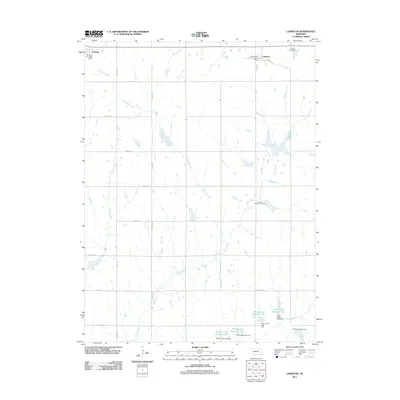 2011 Lewiston2011 Print · USGSSoutheast Nebraska’s rural landscape comes into focus during the early twenty-first century as the communities of Lewiston and Virginia maintain their local character. Researchers can trace family sites near Lewiston Cemetery or follow the water management systems of Plum Creek Reservoir 4-G.
 - 2011 Map of Burchard, 2011 Print
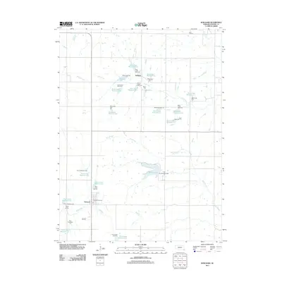 2011 Burchard2011 Print · USGSThe Pawnee County prairie is captured here in the early twenty-first century, showing a landscape defined by agricultural water management. Researchers can locate family sites at Sacred Heart Cemetery or trace the drainage of Balls Branch and Burchard Lake.
 - 2011 Map of Vesta, 2011 Print
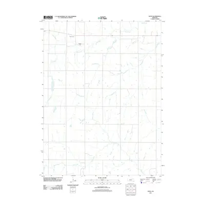 2011 Vesta2011 Print · USGSThe community of Vesta and the surrounding Johnson County farmland are shown here in the early twenty-first century. Genealogists and local historians can locate the Vesta Cemetery and trace the paths of Yankee Creek and Turkey Creek through the section lines.
 - 2011 Map of Tecumseh SE, 2011 Print
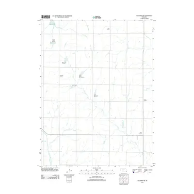 2011 Tecumseh SE2011 Print · USGSSoutheast of Tecumseh in the early twenty-first century, this rural landscape reveals a sophisticated network of watershed management along the North Fork Big Nemaha River. Genealogists and historians can locate several local burial sites, including Saint Fredrick Cemetery and Grand View Cemetery.
 - 2011 Map of Table Rock, 2011 Print
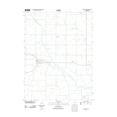 2011 Table Rock2011 Print · USGSTable Rock and the surrounding Pawnee County farmland are mapped here during the early twenty-first century. Genealogists can locate several burial grounds including Bohemian Cemetery and Dry Branch Pioneer Cemetery near the banks of the North Fork Big Nemaha River.
 - 2012 Map of Crab Orchard, 2012 Print
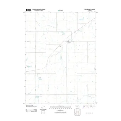 2012 Crab Orchard2012 Print · USGSCrab Orchard and its surrounding farmlands are captured in this early twenty-first century landscape on the Johnson-Pawnee county line. Researchers can trace the drainage of Yankee Creek through the village or locate family plots at the Crab Orchard Cemetery.
 - 2012 Map of Du Bois, 2012 Print
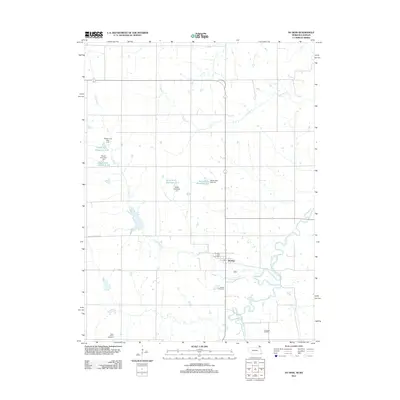 2012 Du Bois2012 Print · USGSIn the early twenty-first century, the southeast Nebraska landscape around Du Bois remains defined by the winding South Fork Big Nemaha River. Local historians and genealogists can pinpoint the Du Bois Post Office and multiple burial sites like DuBois Cemetery and Saint Peters Cemetery.
 - 2012 Map of Tecumseh, 2012 Print
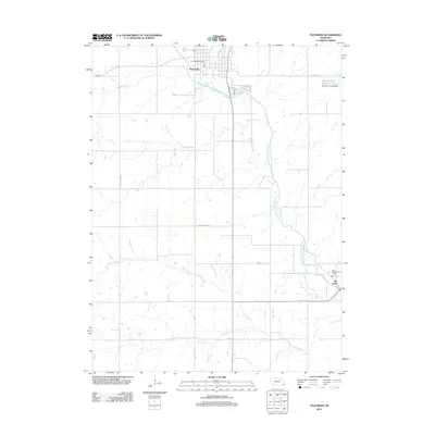 2012 Tecumseh2012 Print · USGSJohnson County is documented in the early twenty-first century as a landscape of river-fed agriculture and quiet rural hubs. Researchers can trace the layout of Tecumseh and Elk Creek, identifying local landmarks like the Tecumseh Post Office and Spring Creek Reservoir 9-2.
 - 2014 Map of Steinauer, 2014 Print
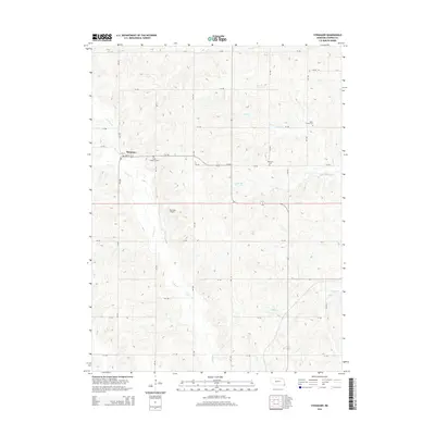 2014 Steinauer2014 Print · USGSSoutheast Nebraska’s rolling farmland and rural community life are captured here in the early twenty-first century. Genealogists can locate family sites near Saint Anthonys Cem, Beranek Cem, or the small aviation history found at Bernadt Airport.
 - 2014 Map of Vesta, 2014 Print
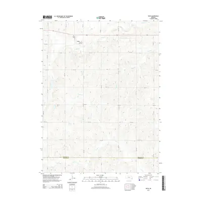 2014 Vesta2014 Print · USGSSoutheast Nebraska in the early twenty-first century is revealed here as a traditional agrarian landscape centered on the village of Vesta. Genealogists and local historians can trace the rural road network and find family sites near Vesta Cem, Todd Cr, and Turkey Cr.
 - 2014 Map of Tecumseh, 2014 Print
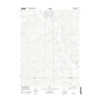 2014 Tecumseh2014 Print · USGSTecumseh and the surrounding prairie lands are captured here in the early twenty-first century, showing the enduring agricultural layout of the region. Local researchers can trace the street grids of Tecumseh and Elk Creek or locate landmarks like Spring Cr Reservoir 9-2 and the North Fork Big Nemaha River.
 - 2014 Map of Tecumseh SE, 2014 Print
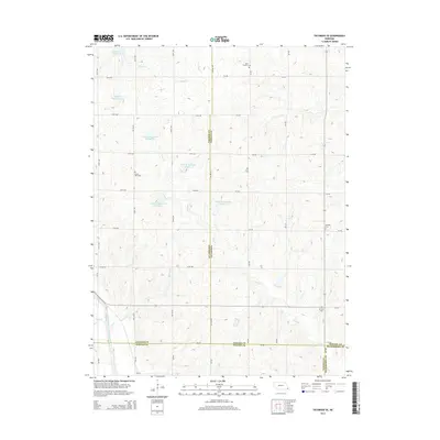 2014 Tecumseh SE2014 Print · USGSSoutheast of Tecumseh during the mid-2010s, this area shows a landscape of rural farmsteads and managed watersheds at the meeting point of four counties. Genealogists and local historians can locate several family and community burial sites, including Saint Fredrick Cem, Grand View Cem, and Mt Zion Cem.
 - 2014 Map of Lewiston, 2014 Print
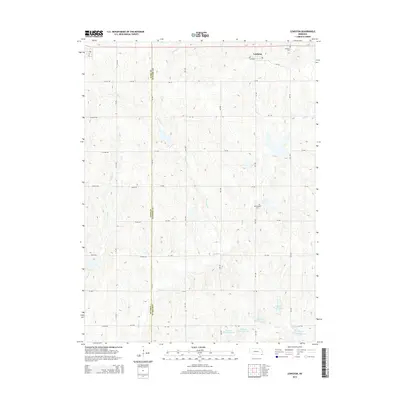 2014 Lewiston2014 Print · USGSThe Pawnee and Gage county border comes to life in this early twenty-first-century survey of Nebraska's farm country. Researchers can trace the drainage of Turkey Cr or locate family sites near Lewiston Cem and Mt Pleasant Cem.
 - 2014 Map of Crab Orchard, 2014 Print
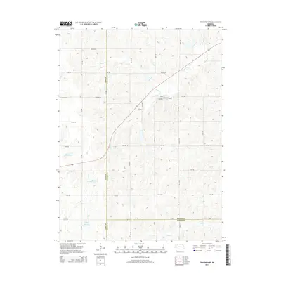 2014 Crab Orchard2014 Print · USGSSoutheast Nebraska farmland is captured here in the early 2010s, centered on the crossroads village of Crab Orchard. Local researchers can locate the Crab Orchard Cem and trace water management projects like Mud Cr Reservoir 2-D and Turkey Cr.
 - 2014 Map of Liberty SE, 2014 Print
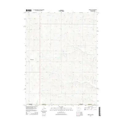 2014 Liberty SE2014 Print · USGSThe rural borderlands of Marshall and Pawnee Counties are captured in this recent survey of the Kansas-Nebraska state line. Genealogists and local historians can trace the creek-side settlement patterns near Bookwalter and the waters of W Br Turkey Cr and Wildcat Cr.
 - 2014 Map of Burchard, 2014 Print
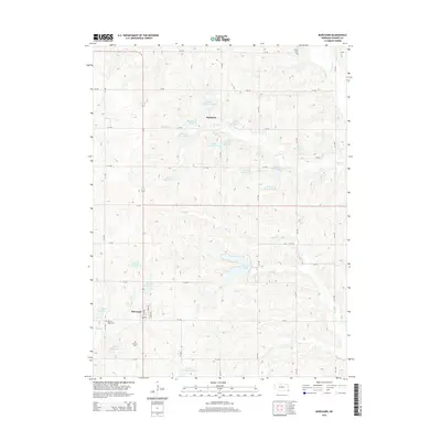 2014 Burchard2014 Print · USGSBurchard and Mayberry are captured in the early 21st century amidst a landscape of extensive water reservoirs and rolling Pawnee County prairie. Genealogists and local researchers can locate family sites at Rinne Cem, Burchard Cem, and the shores of Burchard Lake.
 - 2014 Map of Table Rock, 2014 Print
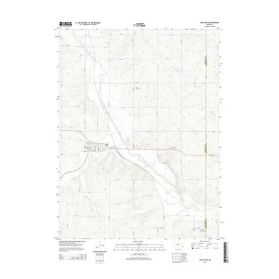 2014 Table Rock2014 Print · USGSSoutheast Nebraska's river valley and rural uplands are meticulously detailed in this survey from the early twenty-first century. Genealogists can locate family sites near Saint Johns Cem, Bohemian Cem, or the streets of Table Rock.
 - 2014 Map of Du Bois, 2014 Print
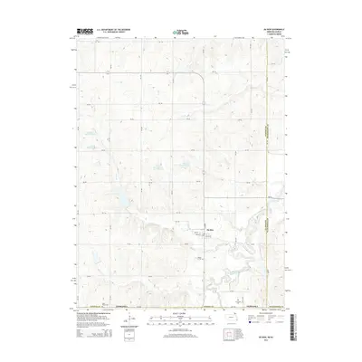 2014 Du Bois2014 Print · USGSNear the border of Pawnee and Richardson counties, this mid-2010s survey captures the rural character of Du Bois and its surrounding river valley. Researchers can locate burial sites like DuBois Cem and Cincinnati Cem while tracing the banks of the South Fork Big Nemaha River.
 - 2014 Map of Pawnee City, 2014 Print
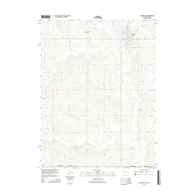 2014 Pawnee City2014 Print · USGSPawnee City and the surrounding Pawnee County farmland are captured here in the early twenty-first century. Family researchers can locate Evergreen Cemetery and trace the drainage of Turkey Creek, Chatawa Creek, and Balls Br.
 - 2014 Map of Liberty, 2014 Print
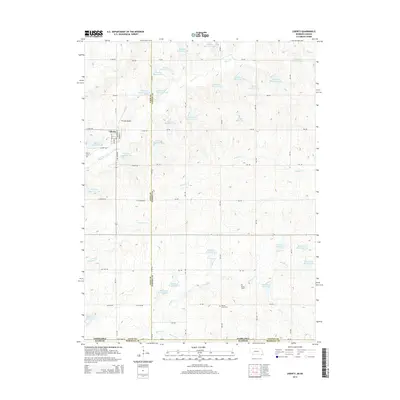 2014 Liberty2014 Print · USGSThe village of Liberty anchors this rural landscape at the Nebraska-Kansas border during the early 2010s. Researchers can trace family history at Liberty Cem or Mission Creek Cem and explore a dense network of water features like Bodie Reservoir.
 - 2017 Map of Tecumseh SE, 2017 Print
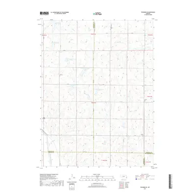 2017 Tecumseh SE2017 Print · USGSSoutheast of Tecumseh in the late 2010s, this area shows a rural landscape defined by precision water management and historic family cemeteries. Researchers can locate remote burial grounds like Grand View Cem and trace the paths of Robinson Cr and the North Fork Big Nemaha River.
Showing maps 1-25 of 36
Top cities of Pawnee County
- Pawnee City historical maps
- Table Rock historical maps
- Du Bois historical maps
- Burchard historical maps
- Lewiston historical maps
- Steinauer historical maps
Frequently asked questions
- What are the different types of historical maps available for Pawnee County?
- What is the oldest map of Pawnee County?
- Where can I purchase historical maps of Pawnee County for my home or office?
- Where can I download high-res historical maps of Pawnee County?
- Are there historical topographic maps available for Pawnee County?
- Is there historical aerial imagery available for Pawnee County?
- Where are historical maps of Pawnee County sourced from?