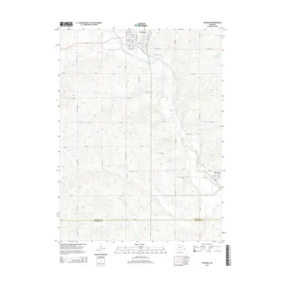
2014 Map of Tecumseh
USGS Topo · Published 2014About this map
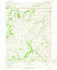
Tecumseh serves as the focal point of this Southeast Nebraska survey, positioned at the confluence of several vital waterways including Town Br and the North Fork Big Nemaha River. The street grid of the town is detailed with names like Broadway St and Calhoun St, illustrating the core of the local community. To the southeast, the smaller village of Elk Creek sits near the crossing of Todd Cr and its namesake stream, Elk Cr.
Find a feature on this map
32 named features on this map. Tap any name to fly to it.
Don’t see what you’re looking for? This feature index may not catch every label — zoom into the map to look around manually.
Map Details
Editions of this 2014 Tecumseh Map
This is the sole edition of this map. No revisions or reprints were ever made.
Other maps of this area

1955 · Lincoln
USGS Topo · 1:250,000

1957 · Lincoln
USGS Topo · 1:250,000

1958 · Lincoln
USGS Topo · 1:250,000

1965 · Burchard
USGS Topo · 1:24,000

1965 · Table Rock
USGS Topo · 1:24,000

1965 · Tecumseh
USGS Topo · 1:24,000
1965 · Steinauer
USGS Topo · 1:24,000
1965 · Tecumseh SE
USGS Topo · 1:24,000
1965 · Tecumseh NW
USGS Topo · 1:24,000
1965 · Vesta
USGS Topo · 1:24,000