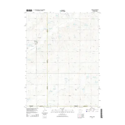
2014 Map of Liberty
USGS Topo · Published 2014About this map
Liberty stands as the primary settlement on this rural landscape along the border of Nebraska and Kansas. The terrain is defined by a sophisticated water management network, featuring dozens of engineered catchments such as Plum Cr Reservoir 3-A and Mission Cr Reservoir 6-A that dot the drainages of Plum Cr and Arkeketa Cr. This concentration of reservoirs suggests a landscape heavily modified for agricultural stability and flood control in the early 21st century.
Find a feature on this map
66 named features on this map. Tap any name to fly to it.
Don’t see what you’re looking for? This feature index may not catch every label — zoom into the map to look around manually.
Map Details
Editions of this 2014 Liberty Map
This is the sole edition of this map. No revisions or reprints were ever made.
Other maps of this area

1889 · Seneca
USGS Topo · 1:125,000

1889 · Marysville
USGS Topo · 1:125,000

1894 · Seneca
USGS Topo · 1:125,000

1894 · Marysville
USGS Topo · 1:125,000

1955 · Manhattan
USGS Topo · 1:250,000

1955 · Lincoln
USGS Topo · 1:250,000

1956 · Manhattan
USGS Topo · 1:250,000

1957 · Manhattan
USGS Topo · 1:250,000

1957 · Lincoln
USGS Topo · 1:250,000

1958 · Lincoln
USGS Topo · 1:250,000