2010s Maps of Thurston County, Nebraska
Explore 48 historic maps of Thurston County from the 2010s. These maps offer a rare glimpse into what life looked like during the 2010s — showing old roads, neighborhoods, homes, and landmarks that have changed or disappeared over time.
Whether you're researching your family's past, planning a metal detecting trip, or studying how Thurston County's landscape evolved across the 2010s, these high-resolution maps are a powerful tool for exploring the history of this region.
- Focus on a specific era: All maps on this page are from the 2010s, giving you a focused view of this time period.
- See what’s changed: Compare century-old streets, trails, and buildings to today's modern landscape using overlays and satellite layers.
- Research with precision: Use these maps for genealogy, historical research, land use analysis, or educational projects.
- View, download, or print: Maps are fully viewable online in high resolution, and can be downloaded or printed for your own records.
Start exploring Thurston County's history through authentic maps from the 2010s. This is your window into the past.
Thurston County, NE maps
(48)- 2010 Map of Homer, 2010 Print
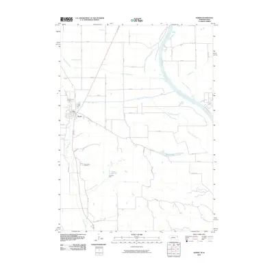 2010 Homer2010 Print · USGSHomer and the Missouri River bottomlands are captured here in the early twenty-first century as a landscape of managed waterways and rural tradition. Genealogists and local historians can trace family sites at Saint Cornelius Cemetery or Omaha Valley Cemetery and locate the Homer Post Office.
 - 2010 Map of Salix, 2010 Print
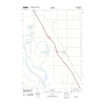 2010 Salix2010 Print · USGSThe community of Salix and its surrounding Woodbury County farmlands are shown here in the early twenty-first century. Genealogists and researchers can locate Saint Josephs Cemetery, Liberty Township Cemetery, and oxbow waters like Browns Lake near the Missouri River.
 - 2011 Map of Macy, 2011 Print
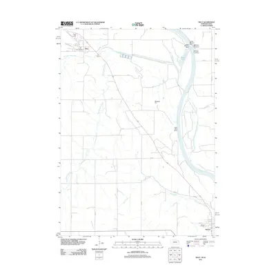 2011 Macy2011 Print · USGSBurt County land and river geography are documented here just after the first decade of the new millennium. Researchers can trace tribal landmarks and local history through the Omaha Tribal Cemetery, Blackbird Hill, and the streets of Decatur.
 - 2011 Map of Walthill, 2011 Print
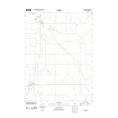 2011 Walthill2011 Print · USGSWalthill and Winnebago are shown here in the early twenty-first century, reflecting the deep cultural roots of the Winnebago Reservation. Researchers can trace local history through sites like the Saint Augustine Indian Mission, Evergreen Cemetery, and North Blackbird Creek.
 - 2011 Map of Altona NE, 2011 Print
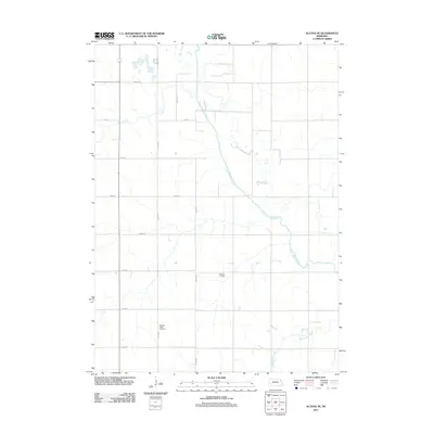 2011 Altona NE2011 Print · USGSThurston County’s agricultural landscape is captured here in the early twenty-first century, showing the precise intersection of rural section roads and local waterways. Genealogists and historians can locate the Pleasant Valley Cemetery or trace the engineered path of the Logan Creek Dredge.
 - 2011 Map of Emerson, 2011 Print
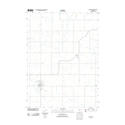 2011 Emerson2011 Print · USGSEmerson and Nacora anchor this Nebraska landscape during the early 2010s, showing a well-established grid of rural section roads and family cemeteries. Genealogists can locate Rose Hill Cemetery, Jopp Cemetery, and the Nacora Post Office amid the drainage of Elk Creek.
 - 2011 Map of Altona SE, 2011 Print
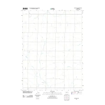 2011 Altona SE2011 Print · USGSThurston County agriculture is captured in this early twenty-first-century survey of the Nebraska plains. Genealogists and local historians can trace the rural grid and watercourses such as Rattlesnake Creek, Plum Creek, and Dry Ditch.
 - 2011 Map of Thurston, 2011 Print
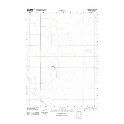 2011 Thurston2011 Print · USGSThurston and its surrounding agricultural township are captured here just after the first decade of the millennium. Researchers can trace rural property access and water management via the Logan Creek Dredge, Thurston Post Office, and Middle Creek.
 - 2011 Map of Emerson SE, 2011 Print
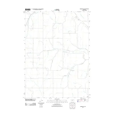 2011 Emerson SE2011 Print · USGSDakota County at the start of the 2010s reveals a structured rural landscape defined by its many winding waterways and country burial grounds. Genealogists and local researchers can locate Green Valley Cemetery, Taylor Cemetery, and waterworks like Hirch Dam.
 - 2011 Map of Pender, 2011 Print
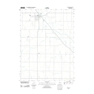 2011 Pender2011 Print · USGSThurston County, Nebraska, is seen here during the early twenty-first century as the village of Pender remains a vital center of the Omaha Indian Reservation. Genealogists can locate family sites at Rosehill Cemetery or Covenant Cemetery while tracing the winding paths of Rattlesnake Creek and the Logan Creek Dredge.
 - 2011 Map of Homer, 2011 Print
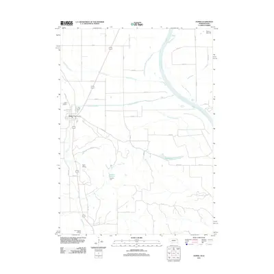 2011 Homer2011 Print · USGSHomer sits at the edge of the Missouri River valley in the early twenty-first century, marking a landscape of flood control and small-town roots. Genealogists and local historians can locate Saint Cornelius Cemetery, Omaha Valley Cemetery, and the Homer Post Office.
 - 2011 Map of Walthill SW, 2011 Print
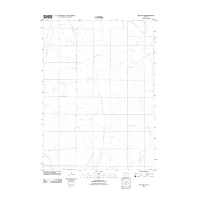 2011 Walthill SW2011 Print · USGSThurston County’s rural landscape is captured here in the early twenty-first century, showing the enduring agricultural grid of Nebraska's plains. Genealogists and researchers can trace local watercourses like South Blackbird Creek and historic routes such as State Hwy Spur S-87B and B I A 54.
 - 2011 Map of Pender NE, 2011 Print
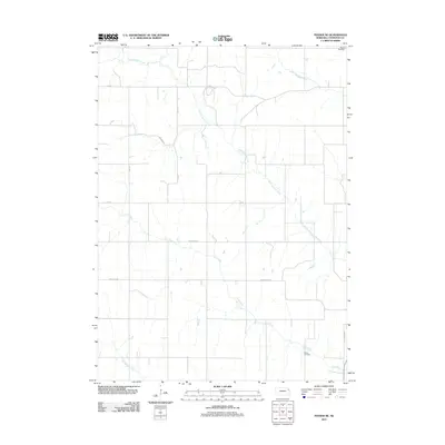 2011 Pender NE2011 Print · USGSThurston County’s rural landscape is preserved in this early twenty-first-century survey of the Nebraska plains. Family historians can locate specific landmarks such as Pilcher Cemetery and Meseal Cemetery along the banks of Cow Creek.
 - 2011 Map of Bancroft, 2011 Print
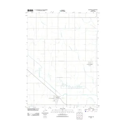 2011 Bancroft2011 Print · USGSCuming County and the Omaha Indian Reservation are shown here in the early 2000s, where traditional watercourses meet modern agricultural engineering. Researchers can trace the engineered Logan Creek Dredge against the Old Channel Logan Creek or locate local landmarks like the Sioux Prayer Garden.
 - 2011 Map of Wakefield, 2011 Print
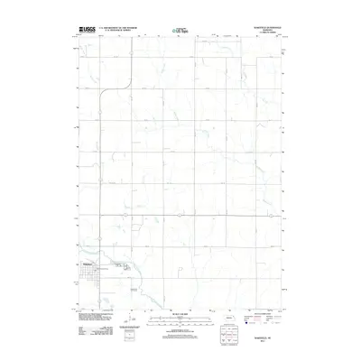 2011 Wakefield2011 Print · USGSWakefield and its surrounding Nebraska farmlands are captured in this early 21st-century survey. Genealogists and local historians can trace the town grid and landmarks like the Wakefield Post Office, the Logan Valley Golf Course, and Logan Creek Dredge.
 - 2012 Map of Albaton, 2012 Print
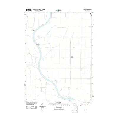 2012 Albaton2012 Print · USGSThe Missouri River floodplain in Monona County appears here in the early 21st century, showing a landscape defined by massive river meanders and rural drainage systems. Genealogists and local historians can locate the Fairview Cemetery and trace the small settlements of Albaton and Lossing among the grid of section roads.
 - 2013 Map of Salix, 2013 Print
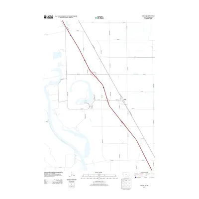 2013 Salix2013 Print · USGSThe Woodbury County floodplain near the Missouri River is captured here in the early twenty-first century as modern infrastructure integrates with ancient river bends. Trace the developments around Browns Lake and Salix, from Farmers Canal to the lakefront homes on Skid Row.
 - 2013 Map of Albaton, 2013 Print
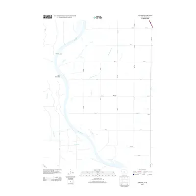 2013 Albaton2013 Print · USGSMonona County, Iowa, sits along the wide Missouri River valley in the early twenty-first century, a landscape of fertile bottomlands and engineered drainage. Researchers can trace rural settlement patterns near Albaton and Lossing or study the river's path through Winnebago Bend.
 - 2014 Map of Macy, 2014 Print
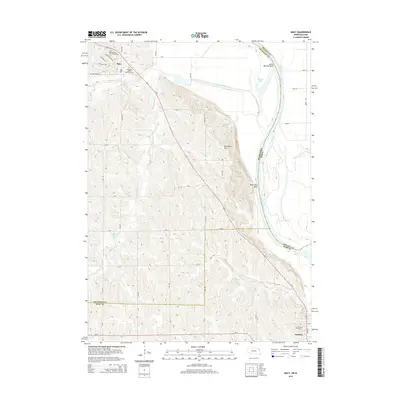 2014 Macy2014 Print · USGSThe Missouri River bluffs and the Omaha Reservation are documented here in the early twenty-first century. Researchers can locate Omaha Tribal Cem near Macy, trace the course of Blackbird Creek, and identify local landmarks like Blackbird Hill.
 - 2014 Map of Walthill SW, 2014 Print
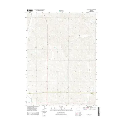 2014 Walthill SW2014 Print · USGSNortheastern Nebraska in the early twenty-first century reveals a landscape shaped by intensive agriculture and drainage. Genealogists and local historians can trace family land along S Blackbird Cr and the Logan Creek Dredge near the Thurston and Burt County line.
 - 2014 Map of Emerson, 2014 Print
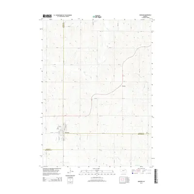 2014 Emerson2014 Print · USGSEmerson and its surrounding farm country appear here at the convergence of three Nebraska counties during the early twenty-first century. Genealogists can locate family landmarks like Rose Hill Cem, Jopp Cem, and the settlement of Nacora.
 - 2014 Map of Pender NE, 2014 Print
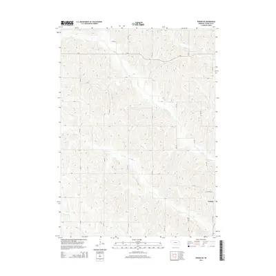 2014 Pender NE2014 Print · USGSThurston County’s rolling hills and creek-cut plateaus are captured here in the early twenty-first century as the town of Walthill expands. Researchers can trace rural cemetery locations like Pilcher Cem and the drainage of N Omaha Cr across a detailed section-line road network.
 - 2014 Map of Altona NE, 2014 Print
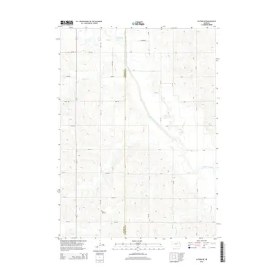 2014 Altona NE2014 Print · USGSThe borderlands of Wayne and Thurston Counties come into focus during the early twenty-first century, showing a landscape defined by industrial drainage. Genealogists and researchers can locate the Pleasant Valley Cem or trace the path of the Logan Creek Dredge.
 - 2014 Map of Pender, 2014 Print
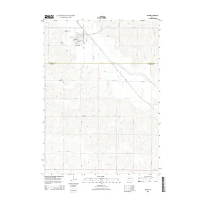 2014 Pender2014 Print · USGSPender and the surrounding Thurston County farmland are shown here in the early twenty-first century. Genealogists can locate Rosehill Cem, Saint Marks Cem, and Covenant Cem, while tracing the course of the Logan Creek Dredge.
 - 2014 Map of Thurston, 2014 Print
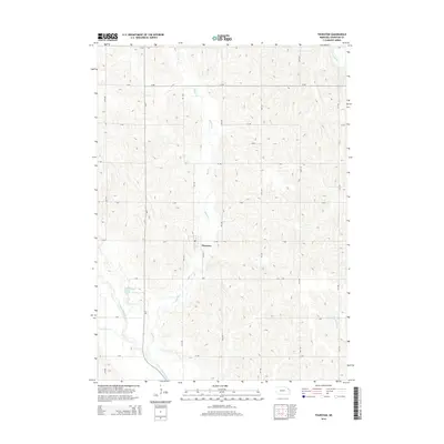 2014 Thurston2014 Print · USGSThurston County agriculture is on full display in the mid-2010s, centered on the village of Thurston. Genealogists and researchers can trace the local landscape through features like the Logan Creek Dredge, Rattlesnake Cr, and the old channel of Logan Creek.
Showing maps 1-25 of 48
Top cities of Thurston County
- Pender historical maps
- Walthill historical maps
- Winnebago historical maps
- Rosalie historical maps
- Thurston historical maps
Frequently asked questions
- What are the different types of historical maps available for Thurston County?
- What is the oldest map of Thurston County?
- Where can I purchase historical maps of Thurston County for my home or office?
- Where can I download high-res historical maps of Thurston County?
- Are there historical topographic maps available for Thurston County?
- Is there historical aerial imagery available for Thurston County?
- Where are historical maps of Thurston County sourced from?