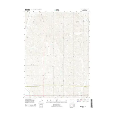
2014 Map of Walthill SW
USGS Topo · Published 2014About this map
S Blackbird Cr and S Omaha Cr dominate the agricultural landscape of this northeastern Nebraska region, cutting through a dense network of sectional roads. The map highlights a significant transition in the southern portion, where the boundary between Thurston County and Burt County is marked near the intersection of Co Road X and the Logan Creek Dredge. This drainage feature reflects the systematic modification of the land for large-scale farming. A corridor of modern transit is defined by Us-77, which runs north-to-south, while local connectivity is maintained through an extensive grid of named avenues and rural routes like Yellow Smoke Rd and Ne-51. For those studying local land divisions, the precise contouring and road naming provide a clear record of how rural infrastructure supports the communities near the Omaha Reservation.
Find a feature on this map
29 named features on this map. Tap any name to fly to it.
Don’t see what you’re looking for? This feature index may not catch every label — zoom into the map to look around manually.
Map Details
Editions of this 2014 Walthill SW Map
This is the sole edition of this map. No revisions or reprints were ever made.
Other maps of this area

1955 · Sioux City
USGS Topo · 1:250,000

1955 · Fremont
USGS Topo · 1:250,000

1957 · Fremont
USGS Topo · 1:250,000

1958 · Sioux City
USGS Topo · 1:250,000

1958 · Fremont
USGS Topo · 1:250,000

1959 · Sioux City
USGS Topo · 1:250,000

1966 · Lyons
USGS Topo · 1:24,000

1966 · West Point NE
USGS Topo · 1:24,000

1966 · Walthill SW
USGS Topo · 1:24,000

1966 · Walthill
USGS Topo · 1:24,000