Old Maps of Goldfield, Nevada for Metal Detecting
Plan your next treasure hunt with 14 historic maps of Goldfield. Find old homesites, ghost towns, trails, and gathering spots that may be lost to time — perfect for identifying promising metal detecting locations.
- Locate forgotten sites: Uncover places like long-lost settlements, abandoned rail lines, or gathering spots.
- Plan better hunts: Use map overlays combined with LiDAR or satellite views to narrow in on historically rich areas.
- Made for detectorists: Thousands of hobbyists use these maps to discover relics, coins, and hidden history.
Use these historic maps to boost your research and find new opportunities beneath the surface of Goldfield.
Goldfield, NV maps
(14)- 1908 Map of Lida
 1908 Lida1908 Print · USGSEsmeralda County enters its mining peak at the start of the twentieth century as rail lines and boomtowns transform the high desert. Researchers can trace the exact layout of the Tonopah and Goldfield RR, find remote camps like Diamondfield, and locate the Rattlesnake Mine.
 - 1913 Map of Lida
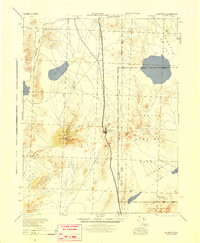
 1913 Lida1913 Print · USGSThe Nevada and California borderlands appear here at the peak of the gold rush era, centered on the bustling streets of Goldfield. Genealogists and historians can trace the early rail networks of the Bullfrog Goldfield RR and locate camps like Gen Thomas Camp or the remote Palmetto Mine.5 unique versions available
 - 1945 Map of Goldfield
 1945 Goldfield1945 Print · USGSEsmeralda County's high desert landscape is shown here at the end of the Second World War, capturing the region's mining roots and new military role. Genealogists and historians can trace the Tonopah and Goldfield rail line through Klondike and locate remote water sources like Stonewall Spr.
 - 1952 Map of Goldfield, 1958 Print
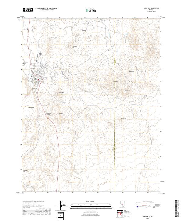
 1952 Goldfield1958 Print · USGSGoldfield and its high-desert mining landscape are documented here during the early fifties as the region transitioned toward military use. Researchers can trace the remnants of a mining empire through the Columbia Mill, Florence Hill, and the local Cemetery.4 unique versions available
 - 1954 Map of Goldfield, 1967 Print
 1954 Goldfield1967 Print · USGSThe Nevada desert during the early Cold War era shows the convergence of traditional mining districts and military expansion. Genealogists and historians can trace the Tonopah and Tidewater Railroad route and locate remote sites like Gold Point and Scottys Castle.3 unique versions available
 - 1955 Map of Goldfield
 1955 Goldfield1955 Print · USGSThe Nevada desert in the mid-fifties reveals a landscape of mining camps and military expansion. You can trace legacy sites from the Klondike Mine to Gold Point, and locate remote outposts like Bonnie Claire and Staininger Ranch at the edge of Death Valley.
 - 1958 Map of Goldfield
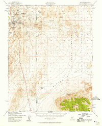
 1958 Goldfield1958 Print · USGSThe Nevada-California borderlands in the late fifties show a landscape defined by mining history and emerging military ranges. Researchers can trace old routes to Scotty's Castle, identify the locations of Numerous mines near Gold Point, and find Goldfield at its peak.2 unique versions available
 - 1962 Map of Goldfield
 1962 Goldfield1962 Print · USGSThe Nevada desert during the early sixties reveals a landscape of high-stakes military ranges and waning mining districts. Trace the path of the old railroad grade between Goldfield and Beatty, or locate the isolated sites of Gold Point and Lida.
 - 1985 Map of Goldfield
 1985 Goldfield1985 Print · USGSEsmeralda County and the surrounding high desert are captured in the mid-eighties as modern infrastructure intersected with a century of mining history. Researchers can locate remote extraction sites like the Mohawk Mine, early outposts at Klondike, and geothermal features like Alkali Hot Spring.
 - 1987 Map of Goldfield, 1988 Print
 1987 Goldfield1988 Print · USGSThe mining heart of Esmeralda County is captured here in the 1980s, documenting a landscape dense with tunnels and prospect pits. Researchers can trace the lineage of local extraction from Goldfield to Diamondfield, following the Old Railroad Grade past Vindicator Mountain.
 - 2012 Map of Goldfield, 2012 Print
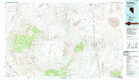
 2012 Goldfield2012 Print · USGSCovers Goldfield, including Nye County, Esmeralda County, and other nearby areas
 - 2014 Map of Goldfield, 2014 Print
 2014 Goldfield2014 Print · USGSCovers Goldfield, including Nye County, Esmeralda County, and other nearby areas
 - 2018 Map of Goldfield, 2018 Print
 2018 Goldfield2018 Print · USGSCovers Goldfield, including Nye County, Esmeralda County, and other nearby areas
 - 2021 Map of Goldfield, 2021 Print
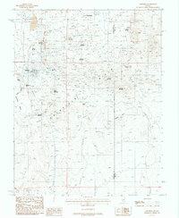
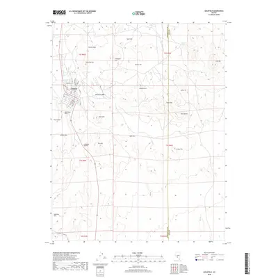
 2021 Goldfield2021 Print · USGSIn the modern era, the high-desert mining landscape of Esmeralda County retains its historic layout and rugged nomenclature. Researchers can trace the town site from the Esmeralda County Courthouse to landmarks like Florence Hill and Goldfield Cem.
End of results
Showing maps 1-14 of 14
Frequently asked questions
- What are the different types of historical maps available for Goldfield?
- What is the oldest map of Goldfield?
- Where can I purchase historical maps of Goldfield for my home or office?
- Where can I download high-res historical maps of Goldfield?
- Are there historical topographic maps available for Goldfield?
- Is there historical aerial imagery available for Goldfield?
- Where are historical maps of Goldfield sourced from?