
1913 Map of Lida
USGS Topo · Published 1913About this map
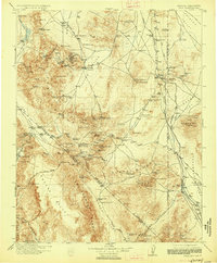
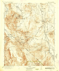
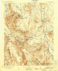
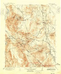
Goldfield stands at the heart of this desert landscape during a period of high mining activity, flanked by neighboring boomtowns like Columbia and Diamondfield. The map reveals a complex industrial network defined by the Tonopah and Goldfield RR and the Bullfrog Goldfield RR, which served the region's productive districts. Settlement patterns follow the geology, with mining camps and small operations like the Palmetto Mine and Loretto Mine scattered across the Silver Peak Range and Slate Range.
Find a feature on this map
120 named features on this map. Tap any name to fly to it.
Don’t see what you’re looking for? This feature index may not catch every label — zoom into the map to look around manually.
Map Details
Editions of this 1913 Lida Map
5 editions found
Other maps of this area

1898 · Silver Peak
USGS Topo · 1:125,000

1900 · Silver Peak
USGS Topo · 1:125,000

1907 · Mt. Whitney
USGS Topo · 1:125,000

1907 · Tonopah
USGS Topo · 1:250,000

1908 · Kawich
USGS Topo · 1:250,000

1908 · Lida
USGS Topo · 1:250,000

1908 · Furnace Creek
USGS Topo · 1:250,000

1908 · Tonopah
USGS Topo · 1:250,000

1908 · Ballarat
USGS Topo · 1:250,000

1909 · Hawthorne
USGS Topo · 1:250,000