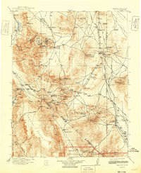
1913 Map of Lida
USGS Topo · Published 1948About this map
Goldfield and the surrounding mining districts define this era of rapid extraction and desert settlement across the Nevada-California border. The map documents a dense network of specialized infrastructure required to sustain life and industry in the arid basins, from the Borax Mill in Lake Valley to the isolated Stewarts Mill on the edge of the Slate Ridge. Transportation is anchored by four competing railroads, including the Tonopah and Goldfield RR and the Las Vegas and Tonopah RR, which connect boomtowns like Columbia and Cuprite to the wider world.
Find a feature on this map
102 named features on this map. Tap any name to fly to it.
Don’t see what you’re looking for? This feature index may not catch every label — zoom into the map to look around manually.
Map Details
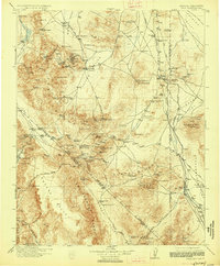
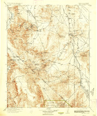
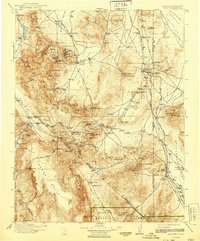
Editions of this 1913 Lida Map
5 editions found

Other maps of this area

1898 · Silver Peak
USGS Topo · 1:125,000

1900 · Silver Peak
USGS Topo · 1:125,000

1907 · Mt. Whitney
USGS Topo · 1:125,000

1907 · Tonopah
USGS Topo · 1:250,000

1908 · Kawich
USGS Topo · 1:250,000

1908 · Lida
USGS Topo · 1:250,000

1908 · Furnace Creek
USGS Topo · 1:250,000

1908 · Tonopah
USGS Topo · 1:250,000

1908 · Ballarat
USGS Topo · 1:250,000

1909 · Hawthorne
USGS Topo · 1:250,000