2000s (21st Century) Maps of Yerington, Nevada
Explore 16 historic maps of Yerington from the 2000s (21st Century). These maps offer a rare glimpse into what life looked like during the 2000s — showing old roads, neighborhoods, homes, and landmarks that have changed or disappeared over time.
Whether you're researching your family's past, planning a metal detecting trip, or studying how Yerington's landscape evolved across the 2000s, these high-resolution maps are a powerful tool for exploring the history of this region.
- Focus on a specific era: All maps on this page are from the 2000s, giving you a focused view of this time period.
- See what’s changed: Compare century-old streets, trails, and buildings to today's modern landscape using overlays and satellite layers.
- Research with precision: Use these maps for genealogy, historical research, land use analysis, or educational projects.
- View, download, or print: Maps are fully viewable online in high resolution, and can be downloaded or printed for your own records.
Start exploring Yerington's history through authentic maps from the 2000s. This is your window into the past.
Yerington, NV maps
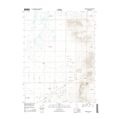
(16)- 2011 Map of Hinkson Slough, 2011 Print
 2011 Hinkson Slough2011 Print · USGSCovers Yerington, including Lyon County, United States, and other nearby areas
 - 2011 Map of Mason Butte, 2011 Print
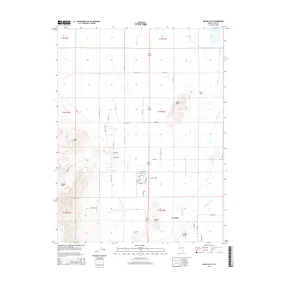
 2011 Mason Butte2011 Print · USGSCovers Yerington, including Greenville, Lyon County, and other nearby areas
 - 2012 Map of Yerington, 2012 Print
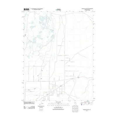
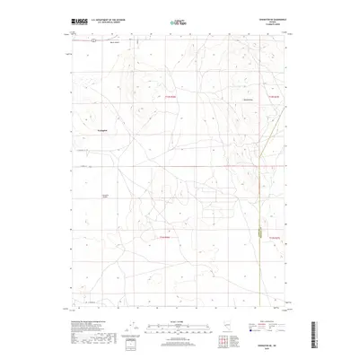
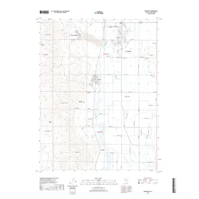
 2012 Yerington2012 Print · USGSCovers Yerington, including Nordyke, Mason, and other nearby areas
 - 2012 Map of Yerington NE, 2012 Print
 2012 Yerington NE2012 Print · USGSCovers Yerington, including Lyon County, Mineral County, and other nearby areas
 - 2014 Map of Yerington, 2014 Print
 2014 Yerington2014 Print · USGSCovers Yerington, including Nordyke, Mason, and other nearby areas
 - 2014 Map of Yerington NE, 2014 Print
 2014 Yerington NE2014 Print · USGSCovers Yerington, including Lyon County, Mineral County, and other nearby areas
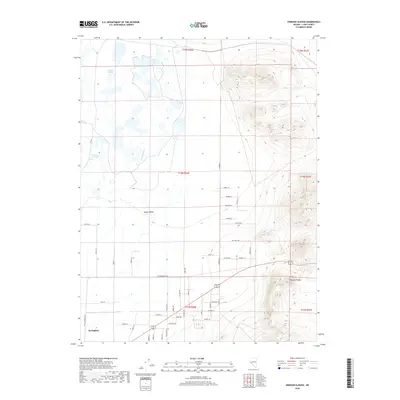
 - 2014 Map of Hinkson Slough, 2014 Print
 2014 Hinkson Slough2014 Print · USGSCovers Yerington, including Lyon County, United States, and other nearby areas
 - 2014 Map of Mason Butte, 2014 Print
 2014 Mason Butte2014 Print · USGSCovers Yerington, including Greenville, Lyon County, and other nearby areas
 - 2018 Map of Hinkson Slough, 2018 Print
 2018 Hinkson Slough2018 Print · USGSCovers Yerington, including Lyon County, United States, and other nearby areas
 - 2018 Map of Mason Butte, 2018 Print
 2018 Mason Butte2018 Print · USGSCovers Yerington, including Greenville, Lyon County, and other nearby areas
 - 2018 Map of Yerington NE, 2018 Print
 2018 Yerington NE2018 Print · USGSCovers Yerington, including Lyon County, Mineral County, and other nearby areas
 - 2018 Map of Yerington, 2018 Print
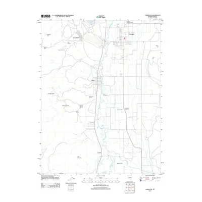
 2018 Yerington2018 Print · USGSCovers Yerington, including Nordyke, Mason, and other nearby areas
 - 2021 Map of Yerington NE, 2021 Print
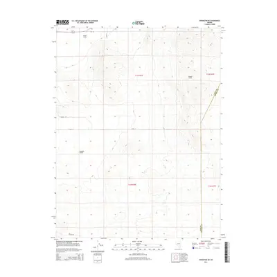
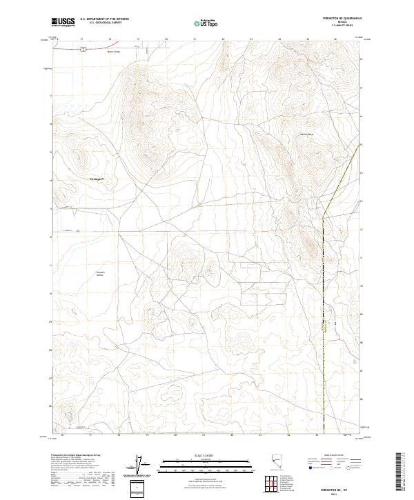 2021 Yerington NE2021 Print · USGSIn the high desert of western Nevada, the eastern edge of the Mason Valley meets the Wassuk Range near the turn of the decade. Researchers can trace the rural road grid near Yerington and locate landmarks like Pumpkin Hollow.
 - 2021 Map of Hinkson Slough, 2021 Print
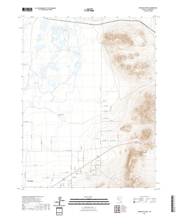 2021 Hinkson Slough2021 Print · USGSLyon County and the outskirts of Yerington come into focus in this contemporary survey of the valley and mountains. Genealogists and local historians can trace land use through named routes like Pete Hendricks RD and water features like Hinkson Slough.
 - 2021 Map of Mason Butte, 2021 Print
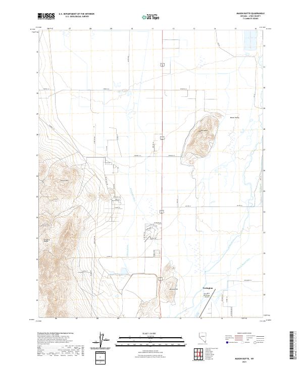 2021 Mason Butte2021 Print · USGSLyon County ranching and the high desert terrain of the Mason Valley are preserved in this modern topographic record. Trace the water-driven economy through the Walker River and W Campbell Ditch, or scout the Singatse Range foothills.
 - 2021 Map of Yerington, 2021 Print
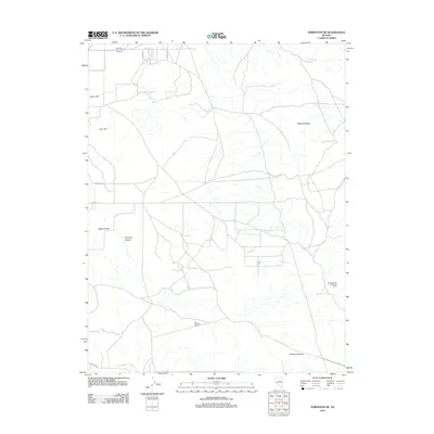
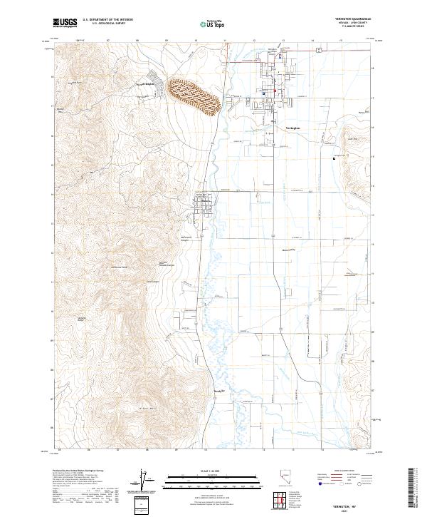 2021 Yerington2021 Print · USGSLyon County at the start of the 2020s shows a landscape where high desert peaks meet the irrigated greenery of the Mason Valley. Researchers can trace the water systems of the Walker River or locate family sites near Weed Heights, Mason, and the Yerington Cem.
End of results
Showing maps 1-16 of 16
Frequently asked questions
- What are the different types of historical maps available for Yerington?
- What is the oldest map of Yerington?
- Where can I purchase historical maps of Yerington for my home or office?
- Where can I download high-res historical maps of Yerington?
- Are there historical topographic maps available for Yerington?
- Is there historical aerial imagery available for Yerington?
- Where are historical maps of Yerington sourced from?