1970s Maps of Mineral County, Nevada
Explore 17 historic maps of Mineral County from the 1970s. These maps offer a rare glimpse into what life looked like during the 1970s — showing old roads, neighborhoods, homes, and landmarks that have changed or disappeared over time.
Whether you're researching your family's past, planning a metal detecting trip, or studying how Mineral County's landscape evolved across the 1970s, these high-resolution maps are a powerful tool for exploring the history of this region.
- Focus on a specific era: All maps on this page are from the 1970s, giving you a focused view of this time period.
- See what’s changed: Compare century-old streets, trails, and buildings to today's modern landscape using overlays and satellite layers.
- Research with precision: Use these maps for genealogy, historical research, land use analysis, or educational projects.
- View, download, or print: Maps are fully viewable online in high resolution, and can be downloaded or printed for your own records.
Start exploring Mineral County's history through authentic maps from the 1970s. This is your window into the past.
Mineral County, NV maps
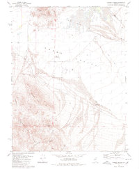
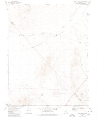
(17)- 1972 Map of Slate Mtn, 1975 Print
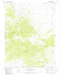
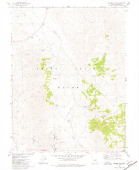
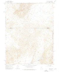 1972 Slate Mtn1975 Print · USGSMineral County, Nevada, is captured in the early seventies during a period of active high-desert mining and exploration. Researchers can trace the haul routes and site locations for the Eagleville Mine, Slate Mine, and the southern King Mine.2 unique versions available
 - 1972 Map of Broken Hills, 1975 Print
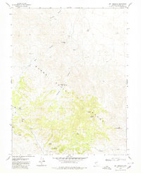
 1972 Broken Hills1975 Print · USGSMining activity and remote desert infrastructure define this high-altitude Nevada landscape during the early seventies. Genealogists and historians can trace the Broken Hills (Site), locate the Broken Hills Mine, and identify isolated landmarks like the Grave near Gabbs Wash.2 unique versions available
 - 1979 Map of Copper Mtn., 1980 Print
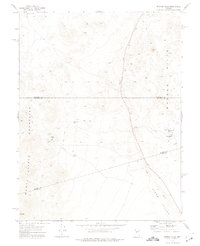
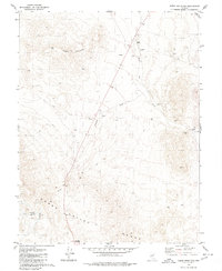
 1979 Copper Mtn.1980 Print · USGSMineral County mining activity is at the forefront in the late 1970s, as shown by this topographic survey. Researchers and geologists can trace old mountain access routes to the Nevada Rand Mine, Blue Sphinx Mine, and the southern Walker River Indian Reservation.
 - 1979 Map of Indian Head Peak, 1980 Print
 1979 Indian Head Peak1980 Print · USGSMineral County in the late seventies is defined here by high desert peaks and the industrial backbone of the Southern Pacific railroad. Researchers can trace mining activity at Prospects or follow the route through Soda Spring Valley.
 - 1979 Map of Fallon, 1980 Print
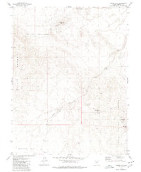
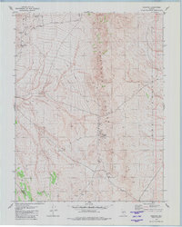
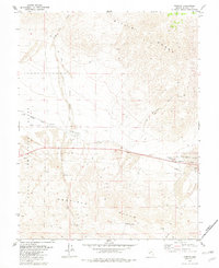
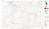 1979 Fallon1980 Print · USGSIn the Great Basin during the late seventies, the agricultural life of the Lahontan Valley meets a sprawling landscape of naval reservations and desert ranges. Genealogists and researchers can locate remote outposts like Frenchman, industrial sites at the Summit King Mine, and the historic Southern Pacific rail line.2 unique versions available
 - 1979 Map of Ramsey Spring, 1980 Print
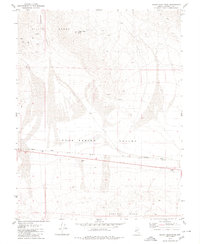
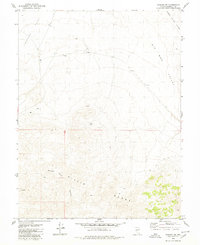
 1979 Ramsey Spring1980 Print · USGSThe high desert of Gabbs Valley in the late 1970s reveals a landscape shaped by mining and water scarcity. Researchers can trace the trails and roads leading to the Lithia Mine, Rita Mine, and the vital waters of Ramsey Spring.
 - 1979 Map of Pilot Cone, 1980 Print
 1979 Pilot Cone1980 Print · USGSMineral County in the late 1970s shows a landscape defined by desert water sources and mining exploration. Metal detectorists and local historians can locate the Deadhorse Wells site and trace routes past Pilot Cone or the remote Mine and Prospects.
 - 1979 Map of Win Wan Flat, 1980 Print
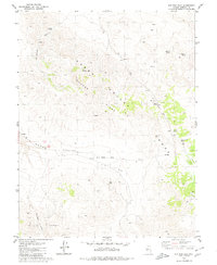 1979 Win Wan Flat1980 Print · USGSThe high desert of Mineral County is captured here in the late 1970s, showing the intersection of the Gabbs Valley and Gillis mountain ranges. Researchers can trace remote mining activity and livestock water sources at Gillis Camp, Whiskey Spring, and Dripping Vat Spring.
 - 1979 Map of Mount Annie SE, 1980 Print
 1979 Mount Annie SE1980 Print · USGSThe Nevada desert near the border of Nye and Mineral counties is shown here in the late seventies. Researchers can trace remote desert infrastructure like Derringer Well and numerous Mines connected by a network of Jeep Trails.2 unique versions available
 - 1979 Map of Mt. Ferguson, 1980 Print
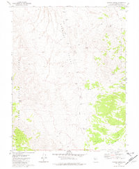
 1979 Mt. Ferguson1980 Print · USGSMineral County, Nevada, is captured here in the late 1970s, showcasing a landscape of high-desert peaks and essential water sources. Genealogists and historians can trace old mining efforts near Rhyolite Pass and locate remote landmarks like Indian Spring and Petrified Wash.2 unique versions available
 - 1979 Map of Goldyke, 1980 Print
 1979 Goldyke1980 Print · USGSNye County's mining history is preserved in the high desert near the Mineral County line during the late seventies. Researchers can trace the layout of vanished camps at Atwood, Goldyke, and Pactolus alongside various Mines and Prospect locations.
 - 1979 Map of Stewart Spring, 1980 Print
 1979 Stewart Spring1980 Print · USGSMineral County, Nevada, is captured here in the late seventies as a landscape of isolated mining claims and critical desert water sources. Researchers can trace the routes of old jeep trails to the OMCO Mine and family-named landmarks like Simon Well and Black Cabin Well.
 - 1979 Map of Kinkaid, 1980 Print
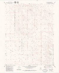
 1979 Kinkaid1980 Print · USGSThe high desert of Mineral County is captured in the late seventies, showing the strategic intersection of military lands and rail lines. Genealogists and historians can trace the Southern Pacific route past Kinkaid, locating isolated landmarks like a Grave and several mountain prospects.
 - 1979 Map of Kinkaid NW, 1980 Print
 1979 Kinkaid NW1980 Print · USGSThe high basins and mountain peaks of Mineral County are captured in this late 1970s survey. You can trace early mining attempts through isolated Prospects or follow the remote Jeep Trail winding through Sheeps Head Canyon and Buckley Flat.
 - 1979 Map of Simon, 1980 Print
 1979 Simon1980 Print · USGSThe Cedar Mountains straddle the Nye and Mineral County line in the late seventies. Mining researchers and hikers can trace remote jeep trails to the Warrior Mine, the settlement at Simon, and various desert water sources like Hundinger Spring.2 unique versions available
 - 1979 Map of Gabbs Mountain, 1980 Print
 1979 Gabbs Mountain1980 Print · USGSThe high Nevada desert in the late 1970s reveals a landscape of isolated peaks and essential water stops along the Mineral and Nye County line. Researchers can trace the network of Jeep Trails connecting Stinson Well and Petrified Spring near the slopes of Gabbs Mountain.
 - 1979 Map of Sunrise Flat, 1980 Print
 1979 Sunrise Flat1980 Print · USGSMineral County mining and high desert hydrology are captured here in the late seventies. Researchers and metal detectorists can trace mining activity near Volcano Peak and locate vital water sources like Stone Cabin Spring and Dunbarton Spring.2 unique versions available
End of results
Showing maps 1-17 of 17
Top cities of Mineral County
Frequently asked questions
- What are the different types of historical maps available for Mineral County?
- What is the oldest map of Mineral County?
- Where can I purchase historical maps of Mineral County for my home or office?
- Where can I download high-res historical maps of Mineral County?
- Are there historical topographic maps available for Mineral County?
- Is there historical aerial imagery available for Mineral County?
- Where are historical maps of Mineral County sourced from?