2020s Maps of Mineral County, Nevada
Explore 99 historic maps of Mineral County from the 2020s. These maps offer a rare glimpse into what life looked like during the 2020s — showing old roads, neighborhoods, homes, and landmarks that have changed or disappeared over time.
Whether you're researching your family's past, planning a metal detecting trip, or studying how Mineral County's landscape evolved across the 2020s, these high-resolution maps are a powerful tool for exploring the history of this region.
- Focus on a specific era: All maps on this page are from the 2020s, giving you a focused view of this time period.
- See what’s changed: Compare century-old streets, trails, and buildings to today's modern landscape using overlays and satellite layers.
- Research with precision: Use these maps for genealogy, historical research, land use analysis, or educational projects.
- View, download, or print: Maps are fully viewable online in high resolution, and can be downloaded or printed for your own records.
Start exploring Mineral County's history through authentic maps from the 2020s. This is your window into the past.
Mineral County, NV maps
(99)- 2021 Map of Cole Spring, 2021 Print
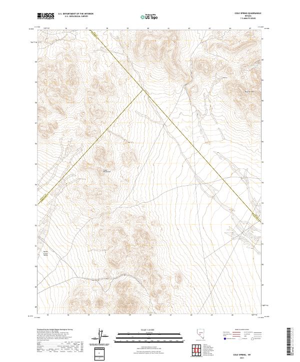 2021 Cole Spring2021 Print · USGSCentral Nevada's high desert reveals its character in the early twenty-first century as three county lines converge near the Cedar Mountains. Researchers can trace the drainage of the Monte Cristo Valley and locate the remote Cole Spring.
 - 2021 Map of Stewart Spring, 2021 Print
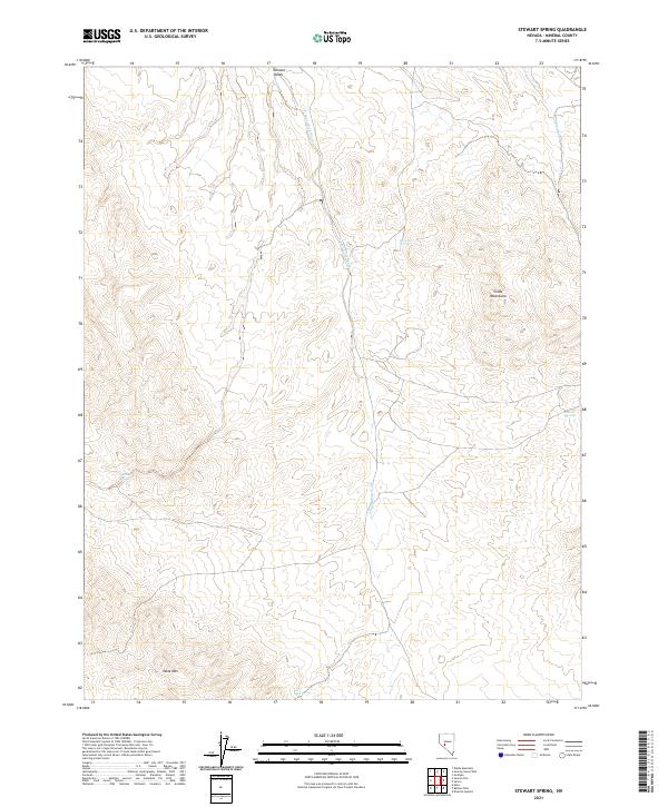 2021 Stewart Spring2021 Print · USGSMineral County's high-desert terrain is captured in detail during the early 2020s, showing a landscape shaped by drainage and elevation. Researchers can trace remote water sources like Stewart Spring and landmarks such as Table Mtn and the Cedar Mountains.
 - 2021 Map of Granny Goose Well, 2021 Print
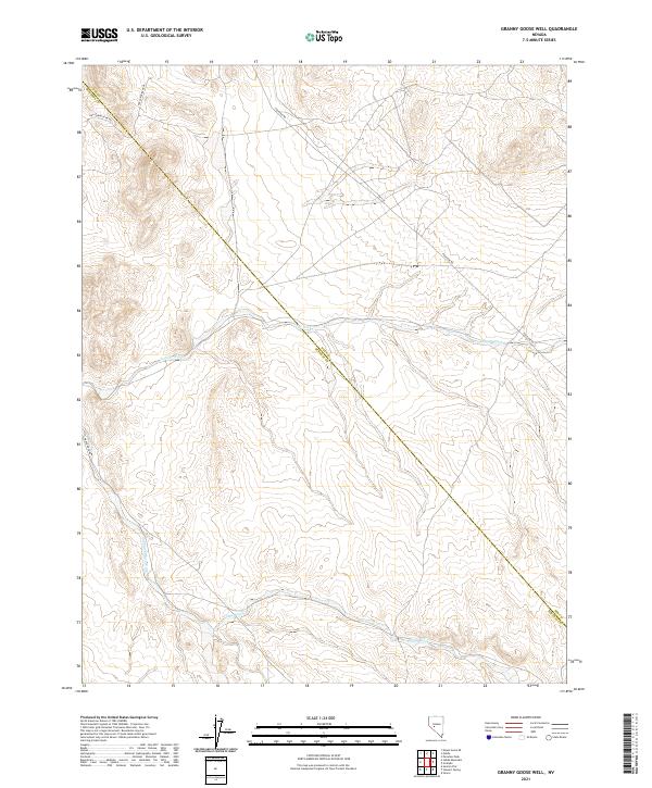 2021 Granny Goose Well2021 Print · USGSThe high desert borderlands of Nye and Mineral counties are captured here in the early twenty-first century. Researchers can trace the drainage of Antone Wash and map the paths of Poleline Rd and Finger Rock Rd through the basin.
 - 2021 Map of Goldyke, 2021 Print
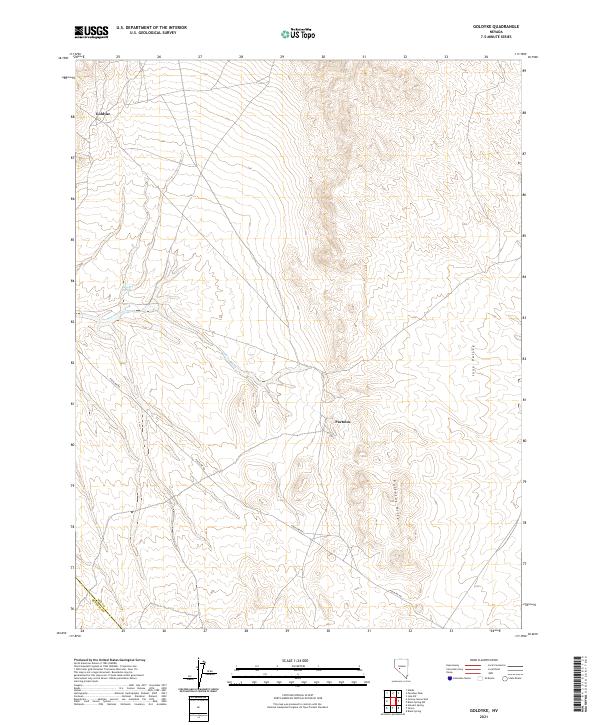 2021 Goldyke2021 Print · USGSNye County in the early twenty-first century remains a landscape of remote settlements and high-desert basins. Researchers can trace the layout of Goldyke and Pactolus alongside geographic landmarks like Stewart Spring and the Pactolus Hills.
 - 2021 Map of Bettles Well, 2021 Print
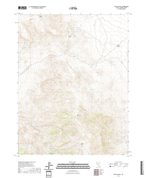 2021 Bettles Well2021 Print · USGSMineral County's high desert reveals its ranching and mining history in the early twenty-first century. Researchers can trace remote water sources and peaks like Bettles Ranch Spring, Cinnabar Canyon, and the Pilot Mountains.
 - 2021 Map of Kibby Flat, 2021 Print
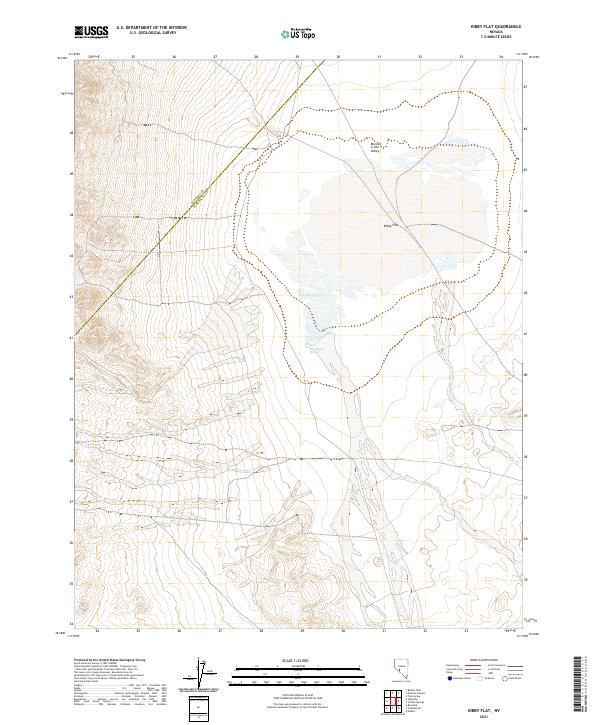 2021 Kibby Flat2021 Print · USGSThe high-desert basins of Esmeralda and Mineral counties are captured here in the early twenty-first century. Researchers can trace the intersection of the Mineral Co Esmeralda Co line near hydrological features like Salt Marsh Spring and the arid expanse of Kibby Flat.
 - 2021 Map of Dicalite Summit, 2021 Print
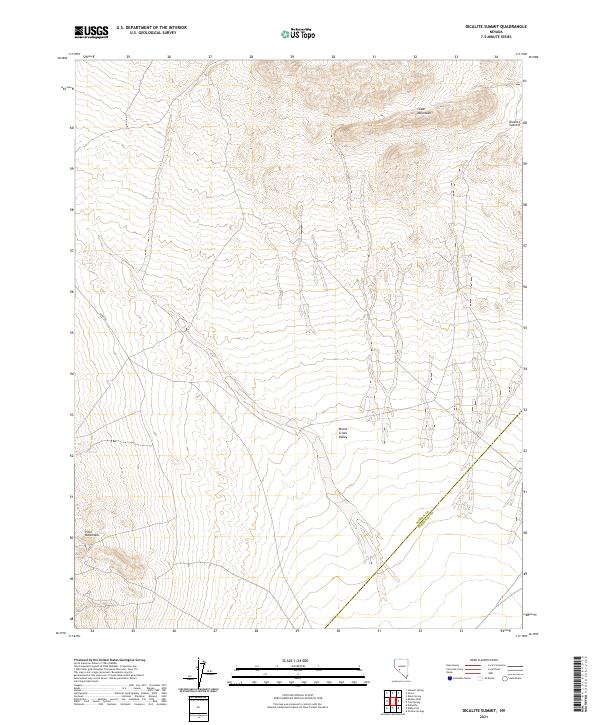 2021 Dicalite Summit2021 Print · USGSMineral and Esmeralda counties meet in the high desert of the Great Basin during this 2021 survey. Local researchers can trace the valley floor and volcanic features from Monte Cristo Valley to the heights of Dicalite Summit and the Cedar Mountains.
 - 2021 Map of Simon, 2021 Print
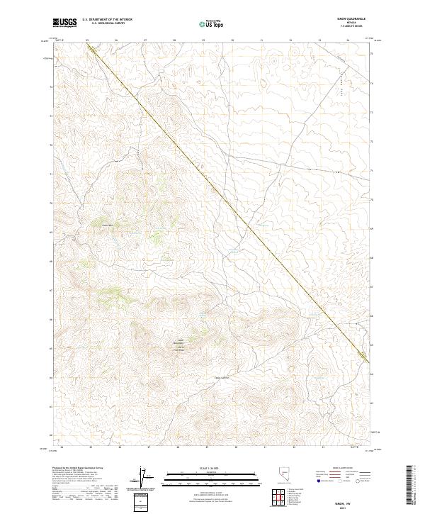 2021 Simon2021 Print · USGSThe high desert frontier of the Cedar Mountains in the twenty-first century remains defined by its sparse water network and remote summits. Researchers can trace historic travel routes and landmarks like Poleline Rd, Simon Mtn, and the elusive Humdinger Spring.
 - 2021 Map of Eddyville, 2021 Print
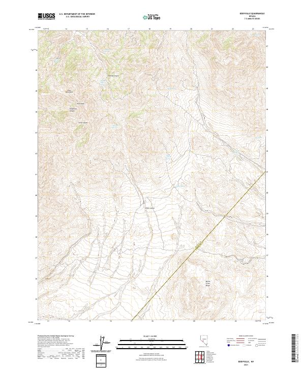 2021 Eddyville2021 Print · USGSThe Pilot Mountains and Monte Cristo Range meet in this Nevada landscape during the early 2020s. Researchers can locate remote water sources like Mustang Spring and Warlock Spring while tracing the Mineral and Esmeralda county line.
 - 2021 Map of Rock Hill, 2021 Print
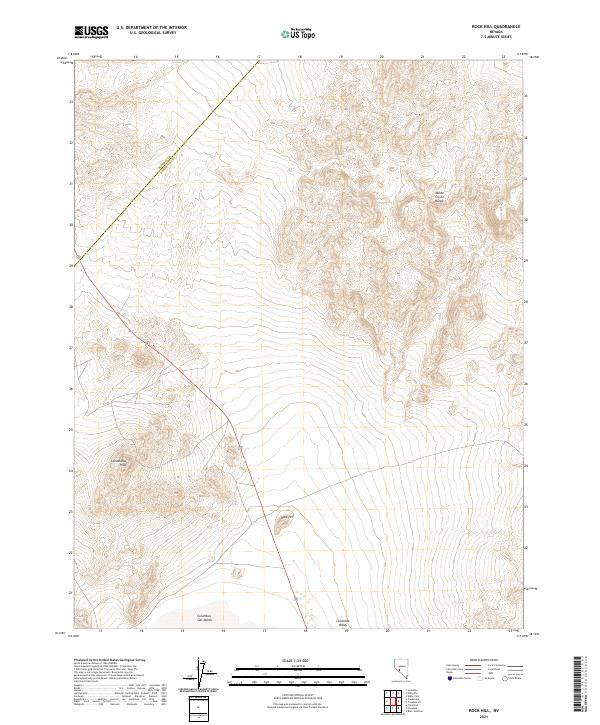 2021 Rock Hill2021 Print · USGSEsmeralda County's high-desert basins and mountain ranges are documented here in the early twenty-first century. Researchers can trace the perimeter of the Columbus Salt Marsh and the arid elevations of the Monte Cristo Range and Candelaria Hills.
 - 2021 Map of Black Spring, 2021 Print
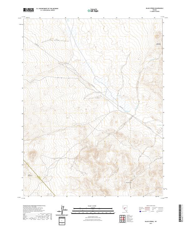 2021 Black Spring2021 Print · USGSNye County's high-desert basins are documented here in the early twenty-first century, showing the intersection of range-land travel and vital water points. Researchers can trace the path of Poleline Rd past Black Spring and the Royston Hills.
 - 2021 Map of Mount Montgomery, 2021 Print
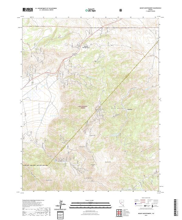 2021 Mount Montgomery2021 Print · USGSThe eastern White Mountains near the Mineral and Esmeralda county line are shown here in the early 2020s. Trace high-altitude landmarks like Montgomery Pass and Mustang Mtn, or follow the winding B&B Mine Road through Inyo National Forest.
 - 2021 Map of Truman Meadows, 2021 Print
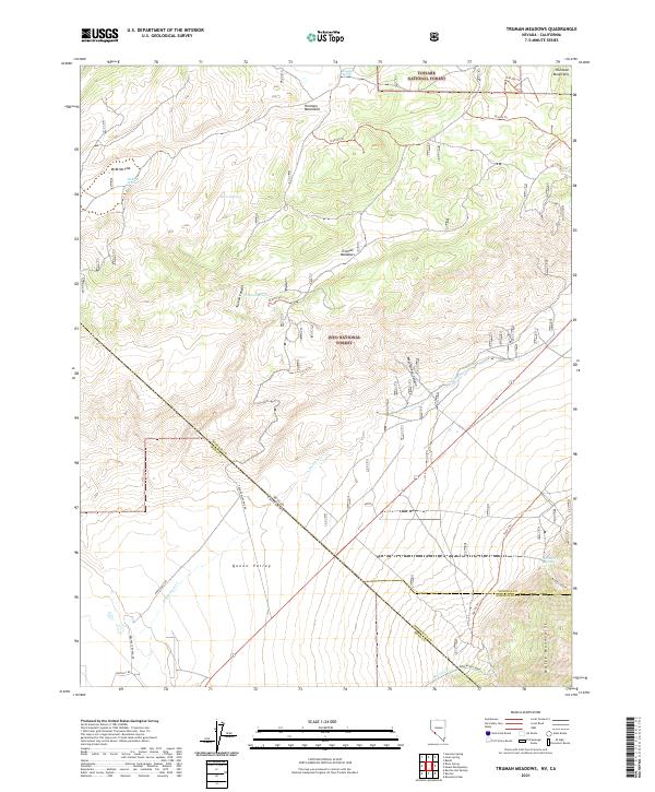 2021 Truman Meadows2021 Print · USGSThe Nevada and California borderlands come into focus in the early 2020s, revealing a landscape of high-altitude basins and remote ranching routes. Researchers can trace the water sources and primitive roads that sustained local activity, from Orchard Spring and McBride Flat to Pedro Ranch Road.
 - 2021 Map of Walker Lake, 2021 Print
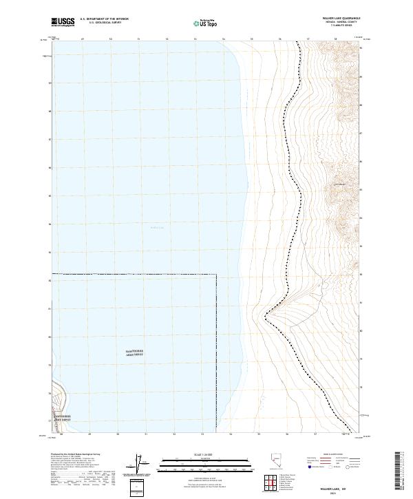 2021 Walker Lake2021 Print · USGSWalker Lake and the surrounding desert basins are captured here during a 2021 survey of the Mineral County landscape. Genealogists and researchers can trace the shoreline and the path of Highway 95 as it skirts the foot of the Gillis Range.
 - 2021 Map of Black Dyke Mountain, 2021 Print
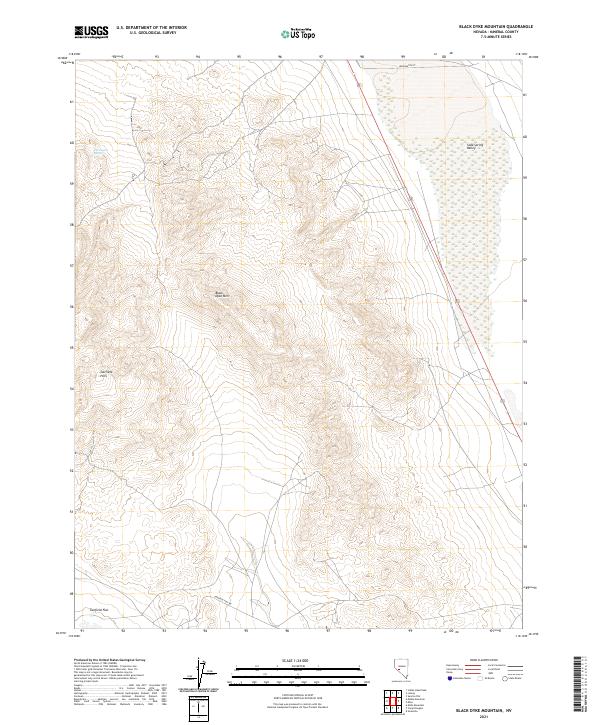 2021 Black Dyke Mountain2021 Print · USGSMineral County's high desert landscape is recorded here in the early twenty-first century, showing the intersection of volcanic peaks and valley sinks. Researchers can trace the terrain from Black Dyke Mtn down to the springs and flats of Soda Spring Valley.
 - 2021 Map of Mount Grant, 2021 Print
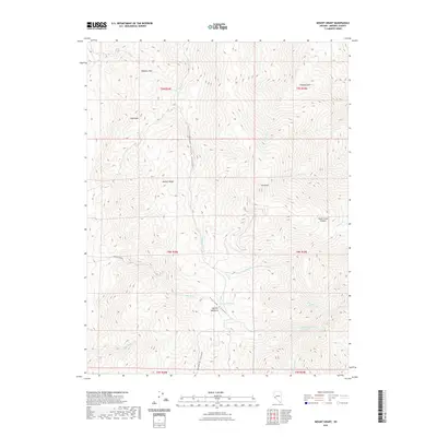 2021 Mount Grant2021 Print · USGSThe high peaks of the Wassuk Range come into focus in this recent survey of Mineral County. Researchers can trace high-altitude water sources and terrain features from Mt Grant to the grazing lands of Lapham Meadows and the remote Box Spring.
 - 2021 Map of Hawthorne West, 2021 Print
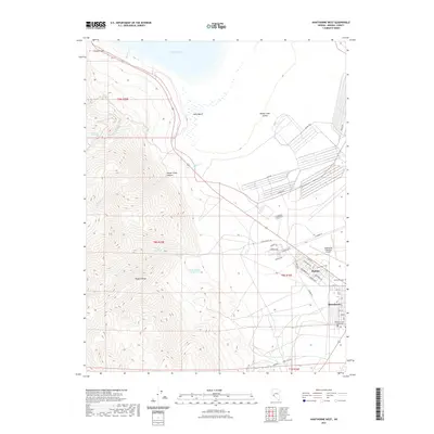 2021 Hawthorne West2021 Print · USGSHawthorne and Babbitt are shown in great detail during the early 2020s, revealing the town's industrial and civic footprint at the foot of the Wassuk Range. Researchers can locate the Mineral County Courthouse, trace the grid of Babbitt, and find the Hawthorne Cem.
 - 2021 Map of Huntoon Spring, 2021 Print
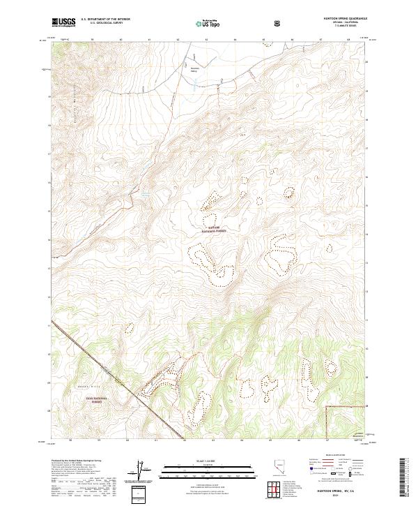 2021 Huntoon Spring2021 Print · USGSHigh desert life in the early twenty-first century centers on the vital Huntoon Spring along the Nevada border. Trace remote mountain access through the Excelsior Mountains using the Huntoon Valley Trl and Sounding Rock Trl.
 - 2021 Map of Yerington NE, 2021 Print
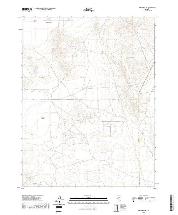 2021 Yerington NE2021 Print · USGSIn the high desert of western Nevada, the eastern edge of the Mason Valley meets the Wassuk Range near the turn of the decade. Researchers can trace the rural road grid near Yerington and locate landmarks like Pumpkin Hollow.
 - 2021 Map of Mina, 2021 Print
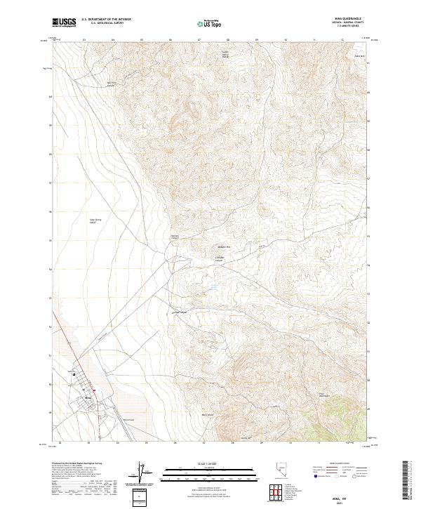 2021 Mina2021 Print · USGSThe high-desert town of Mina and the surrounding Soda Spring Valley are captured in this recent survey. Researchers can trace the local street grid, find the Mina Cem, and locate vital water sources like Southern Pacific Spring.
 - 2021 Map of Mount Ferguson, 2021 Print
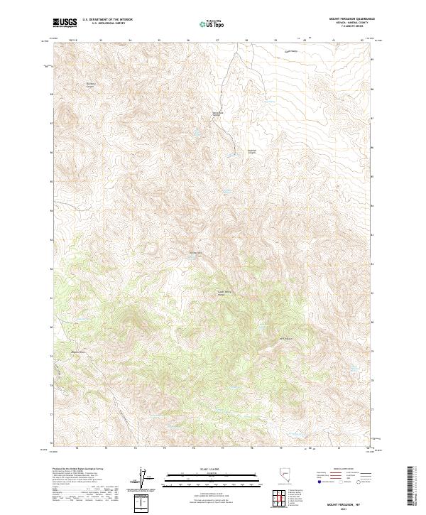 2021 Mount Ferguson2021 Print · USGSIn the high desert of Mineral County during the early twenty-first century, life centers on the rare water sources found in the Gabbs Valley Range. Researchers can trace the paths of Rabbit Springs Rd and locate vital historical landmarks like Indian Spring and Mt Ferguson.
 - 2021 Map of Camp Douglas, 2021 Print
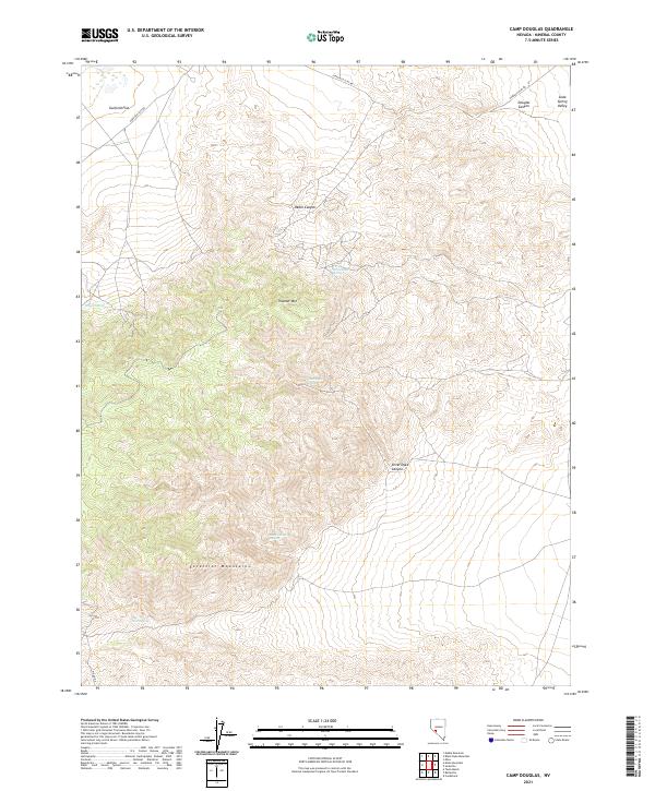 2021 Camp Douglas2021 Print · USGSMineral County's high desert landscape is recorded here in the early twenty-first century, showing the rugged connection between the basins and ranges. Researchers can trace historic access routes like Moho Rd to remote water sources such as Rock Canyon Spring and Silver Dyke Spring.
 - 2021 Map of Mount Annie SE, 2021 Print
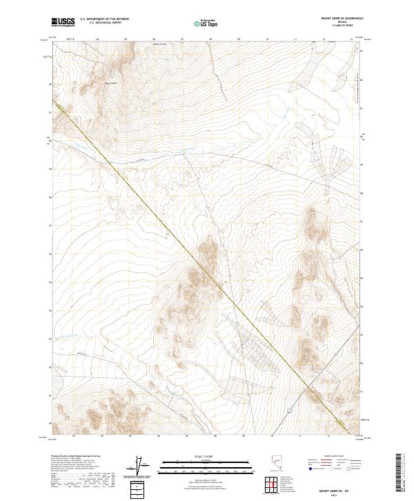 2021 Mount Annie SE2021 Print · USGSNye County, Nevada, at the start of the 2020s remains a remote desert expanse defined by the broad basin of Gabbs Valley. Researchers can trace the courses of Finger Rock Wash and find old transportation routes like Rawhide Rd as they cross the Mineral County line.
 - 2021 Map of Sodaville, 2021 Print
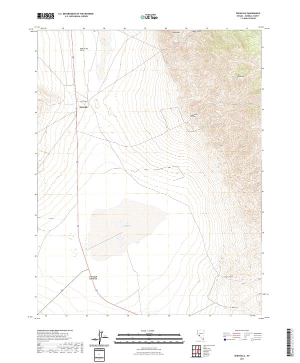 2021 Sodaville2021 Print · USGSMineral County's high-desert crossroads are captured here in the modern era, centered on the historic settlement of Sodaville. Researchers can trace the geological footprint of Rhodes Salt Marsh and locate water sources like Soda Springs and Martin Spring.
 - 2021 Map of Sunrise Flat, 2021 Print
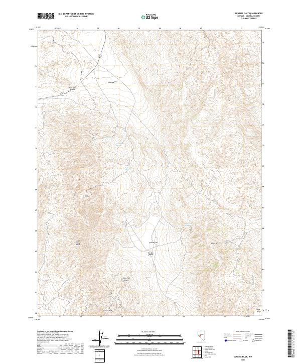 2021 Sunrise Flat2021 Print · USGSThe Gabbs Valley Range in Mineral County reveals a landscape where high desert survival is tied to isolated water sources in the 2020s. Researchers can trace the rugged topography from Volcano Peak down to York Spring and Stone Cabin Spring.
Showing maps 1-25 of 99
Top cities of Mineral County
Frequently asked questions
- What are the different types of historical maps available for Mineral County?
- What is the oldest map of Mineral County?
- Where can I purchase historical maps of Mineral County for my home or office?
- Where can I download high-res historical maps of Mineral County?
- Are there historical topographic maps available for Mineral County?
- Is there historical aerial imagery available for Mineral County?
- Where are historical maps of Mineral County sourced from?