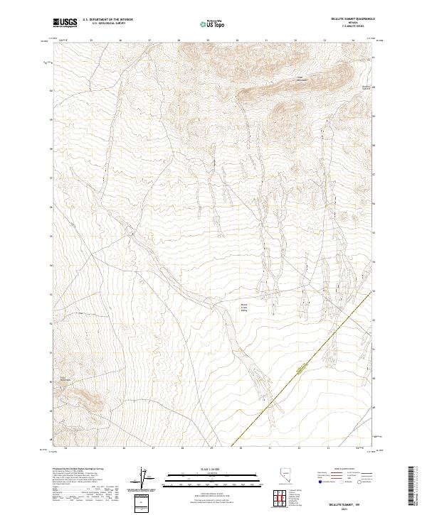
2021 Map of Dicalite Summit
USGS Topo · Published 2021About this map
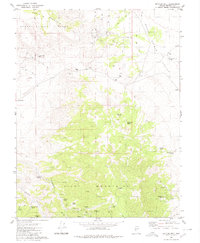
Monte Cristo Valley occupies the central expanse of this arid high-desert landscape, defined by its position between several prominent mountain ranges. The Cedar Mountains rise to the northeast, while the Pilot Mountains anchor the southwestern corner of the quadrangle. The topography is characterized by deep basins and stark volcanic summits, most notably Dicalite Summit, which provides a geographic marker at the northeastern edge of the sheet. Human presence in this area is sparse, indicated primarily by utility and access routes like Dump Rd and the vital water source of Tree Spring. The map documents the political boundary between Mineral and Esmeralda counties as it cuts diagonally through the valley floor, an important detail for researchers tracing regional land management and county history in this part of Nevada.
Find a feature on this map
13 named features on this map. Tap any name to fly to it.
Don’t see what you’re looking for? This feature index may not catch every label — zoom into the map to look around manually.
Map Details
Editions of this 2021 Dicalite Summit Map
This is the sole edition of this map. No revisions or reprints were ever made.
Other maps of this area

1907 · Tonopah
USGS Topo · 1:250,000

1908 · Tonopah
USGS Topo · 1:250,000

1956 · Tonopah
USGS Topo · 1:250,000

1959 · Tonopah
USGS Topo · 1:250,000

1962 · Tonopah
USGS Topo · 1:250,000
1979 · Stewart Spring
USGS Topo · 1:24,000
1979 · Simon
USGS Topo · 1:24,000
1980 · Kibby Flat
USGS Topo · 1:24,000

1980 · Cole Spring
USGS Topo · 1:24,000
1980 · Bettles Well
USGS Topo · 1:24,000