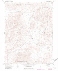
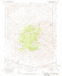
1967 Map of Belleville
USGS Topo · Published 1982About this map
Belleville and Candelaria Junction are documented as primary sites of interest in this high-desert landscape between the Excelsior Mountains and the Candelaria Hills. The map serves as a detailed record of late-19th-century mining infrastructure, showing extensive tailings, mill ruins, and unnamed ruins that mark the locations of former silver processing operations. A winding old railroad grade cuts through the terrain, tracing the path of the narrow-gauge lines that once serviced these remote camps.
Find a feature on this map
18 named features on this map. Tap any name to fly to it.
Don’t see what you’re looking for? This feature index may not catch every label — zoom into the map to look around manually.
Map Details
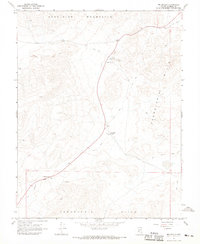
Editions of this 1967 Belleville Map
3 editions found
Other maps of this area

1909 · Hawthorne
USGS Topo · 1:250,000

1911 · Hawthorne
USGS Topo · 1:250,000

1915 · Hawthorne
USGS Topo · 1:250,000

1948 · Walker Lake
USGS Topo · 1:250,000

1957 · Walker Lake
USGS Topo · 1:250,000

1962 · Walker Lake
USGS Topo · 1:250,000

1964 · Walker Lake
USGS Topo · 1:250,000
1967 · Columbus
USGS Topo · 1:24,000
1967 · Miller Mountain
USGS Topo · 1:24,000

1967 · Moho Mountain
USGS Topo · 1:24,000