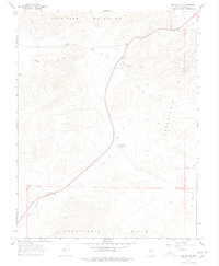
1967 Map of Belleville
USGS Topo · Published 1978About this map
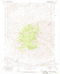
The Candelaria Hills and Excelsior Mountains dominate this high-desert mining landscape as it appeared in the late 1960s. The map serves as a physical record of the region's industrial decline, centered on the Belleville (Site), where extensive Tailings and Mill Ruins remain alongside a lonely Cem. The once-vital transportation network is reduced to an Old Railroad Grade and an Old RR Grade, cutting through the valley toward the Candelaria Junction (Site). Evidence of extraction persists at the Giroux Mine and various unnamed Mine workings, while natural features like the Sand Dunes shift across the arid terrain. The map captures a moment when the heavy infrastructure of the silver and milling era had transitioned into a landscape of ruins and jeep trails.
Find a feature on this map
19 named features on this map. Tap any name to fly to it.
Don’t see what you’re looking for? This feature index may not catch every label — zoom into the map to look around manually.
Map Details
Editions of this 1967 Belleville Map
3 editions found
Other maps of this area

1909 · Hawthorne
USGS Topo · 1:250,000

1911 · Hawthorne
USGS Topo · 1:250,000

1915 · Hawthorne
USGS Topo · 1:250,000

1948 · Walker Lake
USGS Topo · 1:250,000

1957 · Walker Lake
USGS Topo · 1:250,000

1962 · Walker Lake
USGS Topo · 1:250,000

1964 · Walker Lake
USGS Topo · 1:250,000
1967 · Columbus
USGS Topo · 1:24,000
1967 · Miller Mountain
USGS Topo · 1:24,000

1967 · Moho Mountain
USGS Topo · 1:24,000