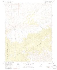
1967 Map of Rattlesnake Flat
USGS Topo · Published 1990About this map
The Garfield Hills and the Excelsior Mountains dominate this high-desert landscape in Mineral County, framing the broad expanse of Rattlesnake Flat. Surveyed in the late 1960s, the map reveals a remote terrain defined more by its sparse water sources than human settlements. Critical landmarks for survival and navigation in this arid environment include Rattlesnake Well and Summit Spring, situated within the eastern boundary of the Toiyabe National Forest.
Find a feature on this map
12 named features on this map. Tap any name to fly to it.
Don’t see what you’re looking for? This feature index may not catch every label — zoom into the map to look around manually.
Map Details
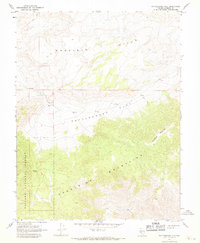
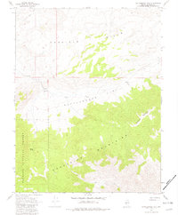
Editions of this 1967 Rattlesnake Flat Map
3 editions found
Other maps of this area

1909 · Hawthorne
USGS Topo · 1:250,000

1911 · Hawthorne
USGS Topo · 1:250,000

1915 · Hawthorne
USGS Topo · 1:250,000

1948 · Walker Lake
USGS Topo · 1:250,000

1955 · Powell Mtn
USGS Topo · 1:62,500

1957 · Walker Lake
USGS Topo · 1:250,000

1958 · Huntoon Valley
USGS Topo · 1:62,500

1962 · Walker Lake
USGS Topo · 1:250,000

1964 · Walker Lake
USGS Topo · 1:250,000

1967 · Pamlico
USGS Topo · 1:24,000