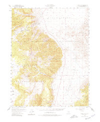
1955 Map of Powell Mtn
USGS Topo · Published 1977About this map
Lucky Boy Mine and the adjacent Lucky Boy (Site) anchor the northern slopes of the mountain range shown in this mid-century survey of Mineral County. The geography is defined by deep incisions like Johnston Canyon and Buller Canyon that drain the high peaks of Powell Mtn and Buller Mtn. A significant portion of the eastern landscape is designated as a Naval Reservation, reflecting the military land use prevalent in this region of Nevada during the Cold War era.
Find a feature on this map
33 named features on this map. Tap any name to fly to it.
Don’t see what you’re looking for? This feature index may not catch every label — zoom into the map to look around manually.
Map Details
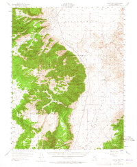
Editions of this 1955 Powell Mtn Map
3 editions found
Other maps of this area

1909 · Hawthorne
USGS Topo · 1:250,000

1911 · Hawthorne
USGS Topo · 1:250,000

1915 · Hawthorne
USGS Topo · 1:250,000

1948 · Walker Lake
USGS Topo · 1:250,000

1955 · Powell Mtn
USGS Topo · 1:62,500

1955 · Hawthorne
USGS Topo · 1:62,500

1956 · Mt. Grant
USGS Topo · 1:62,500

1956 · Aurora
USGS Topo · 1:62,500

1957 · Walker Lake
USGS Topo · 1:250,000

1958 · Trench Canyon
USGS Topo · 1:62,500