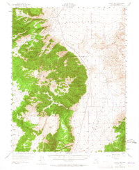
1955 Map of Powell Mtn
USGS Topo · Published 1965About this map
Mining and military interests define this 1955 survey of the Mineral County high country. The former settlement at Lucky Boy (Site) sits tucked near the Lucky Boy Mine, which anchors the northern end of the range. The landscape is a complex of steep ridges and deep drainages, including Johnston Canyon and Powell Canyon, where ephemeral water sources like Powell Spring provided essential resources for early prospectors.
Find a feature on this map
29 named features on this map. Tap any name to fly to it.
Don’t see what you’re looking for? This feature index may not catch every label — zoom into the map to look around manually.
Map Details
Editions of this 1955 Powell Mtn Map
3 editions found
Other maps of this area

1909 · Hawthorne
USGS Topo · 1:250,000

1911 · Hawthorne
USGS Topo · 1:250,000

1915 · Hawthorne
USGS Topo · 1:250,000

1948 · Walker Lake
USGS Topo · 1:250,000

1955 · Powell Mtn
USGS Topo · 1:62,500

1955 · Hawthorne
USGS Topo · 1:62,500

1956 · Mt. Grant
USGS Topo · 1:62,500

1956 · Aurora
USGS Topo · 1:62,500

1957 · Walker Lake
USGS Topo · 1:250,000

1958 · Trench Canyon
USGS Topo · 1:62,500