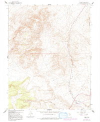
1967 Map of Basalt
USGS Topo · Published 1992About this map
Basalt anchors this high-desert landscape in Mineral County, Nevada, serving as a focal point for local mining and transportation history. The area is defined by the remnants of industrial infrastructure, most notably the prominent Old Railroad Grade and Old RR Grade that snake through the valley. These corridors suggest a period of heavy hauling from various resource extraction sites including the Eastside Mine and Nosser Mine. The rugged Candelaria Hills dominate the eastern edge of the quadrangle, while the presence of a Landing Strip and multiple Gravel Pits indicate mid-century utility and regional access. Small but vital water sources, such as the Water Tank and several Wells, are carefully noted, highlighting the essential logistics required for survival and industry in this arid Basin and Range environment.
Find a feature on this map
13 named features on this map. Tap any name to fly to it.
Don’t see what you’re looking for? This feature index may not catch every label — zoom into the map to look around manually.
Map Details
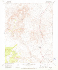
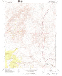
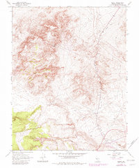
Editions of this 1967 Basalt Map
4 editions found
Other maps of this area

1909 · Hawthorne
USGS Topo · 1:250,000

1911 · Hawthorne
USGS Topo · 1:250,000

1915 · Hawthorne
USGS Topo · 1:250,000

1917 · White Mountain
USGS Topo · 1:125,000

1947 · Mariposa
USGS Topo · 1:250,000

1948 · Walker Lake
USGS Topo · 1:250,000

1948 · Mariposa
USGS Topo · 1:250,000

1957 · Walker Lake
USGS Topo · 1:250,000

1957 · Mariposa
USGS Topo · 1:250,000

1962 · Walker Lake
USGS Topo · 1:250,000