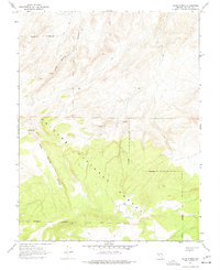
1967 Map of Jacks Spring
USGS Topo · Published 1977About this map
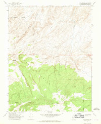
Toiyabe National Forest dominates the southern reaches of this landscape, where high-elevation terrain gives way to the deep cut of Jacks Spring Canyon. Surveyed in the mid-1960s, the map reveals a remote Nevada environment defined by sparse human infrastructure and vital water sources. The namesake Jacks Spring is a central focal point, accompanied by a lone Cabin that suggests the seasonal presence of ranchers or forest workers in an otherwise unpopulated area. Transportation is limited to a network of a Jeep Trail and smaller Trail segments that navigate the sharp changes in elevation between the canyon floor and the high ridges. These primitive routes reflect the mid-century utility of the land for recreation and resource management before more modern road systems reached into these corners of Mineral County.
Find a feature on this map
14 named features on this map. Tap any name to fly to it.
Don’t see what you’re looking for? This feature index may not catch every label — zoom into the map to look around manually.
Map Details
Editions of this 1967 Jacks Spring Map
2 editions found
Other maps of this area

1909 · Hawthorne
USGS Topo · 1:250,000

1911 · Hawthorne
USGS Topo · 1:250,000

1914 · Mt. Morrison
USGS Topo · 1:125,000

1915 · Hawthorne
USGS Topo · 1:250,000

1917 · White Mountain
USGS Topo · 1:125,000

1947 · Mariposa
USGS Topo · 1:250,000

1948 · Walker Lake
USGS Topo · 1:250,000

1948 · Mariposa
USGS Topo · 1:250,000

1957 · Walker Lake
USGS Topo · 1:250,000

1957 · Mariposa
USGS Topo · 1:250,000