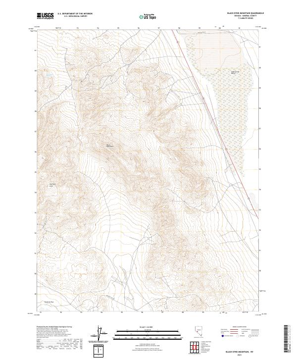
2021 Map of Black Dyke Mountain
USGS Topo · Published 2021About this map
Black Dyke Mtn dominates this portion of Mineral County, rising as a prominent volcanic landmark within the high-altitude Great Basin landscape. The 2021 survey documents a region defined by stark transitions between the desert floor and rugged upland blocks, specifically where the Garfield Hills meet the expansive, marshy lowlands of Soda Spring Valley. This valley floor exhibits a complex hydrological signature, including the isolated Farrington Spring nestled against the western slopes. While the area is sparsely settled, the presence of Washington St and Garfield Flat Rd suggests the continued importance of these historical transit corridors through the basin. The map provides a contemporary record of land divisions across several townships, including t7n r34e, highlighting the enduring surveyor's grid in a territory where water sources like Farrington Spring historically determined the path of travel and settlement.
Find a feature on this map
12 named features on this map. Tap any name to fly to it.
Don’t see what you’re looking for? This feature index may not catch every label — zoom into the map to look around manually.
Map Details
Editions of this 2021 Black Dyke Mountain Map
This is the sole edition of this map. No revisions or reprints were ever made.
Other maps of this area

1909 · Hawthorne
USGS Topo · 1:250,000

1911 · Hawthorne
USGS Topo · 1:250,000

1915 · Hawthorne
USGS Topo · 1:250,000

1948 · Walker Lake
USGS Topo · 1:250,000

1957 · Walker Lake
USGS Topo · 1:250,000

1962 · Walker Lake
USGS Topo · 1:250,000

1964 · Walker Lake
USGS Topo · 1:250,000

1967 · Moho Mountain
USGS Topo · 1:24,000

1967 · Mina NW
USGS Topo · 1:24,000
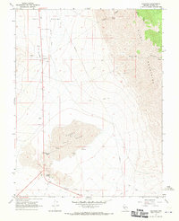
1967 · Sodaville
USGS Topo · 1:24,000