Old Maps of Lower Smoky Valley, Nevada for Metal Detecting
Plan your next treasure hunt with 12 historic maps of Lower Smoky Valley. Find old homesites, ghost towns, trails, and gathering spots that may be lost to time — perfect for identifying promising metal detecting locations.
- Locate forgotten sites: Uncover places like long-lost settlements, abandoned rail lines, or gathering spots.
- Plan better hunts: Use map overlays combined with LiDAR or satellite views to narrow in on historically rich areas.
- Made for detectorists: Thousands of hobbyists use these maps to discover relics, coins, and hidden history.
Use these historic maps to boost your research and find new opportunities beneath the surface of Lower Smoky Valley.
Lower Smoky Valley, NV maps
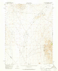
(12)- 1907 Map of Tonopah, 1955 Print
 1907 Tonopah1955 Print · USGSCentral Nevada's mining heartland comes alive in this survey of the high desert and mountain ranges at the peak of the silver and gold booms. Researchers can trace the early rail networks of the Goldfield RR and locate sites like Round Mountain, the Orizaba Mine, and Darrough's Hot Springs.
 - 1908 Map of Tonopah
 1908 Tonopah1908 Print · USGSCentral Nevada's mining boom is frozen in time in this early century survey of the Tonopah and Manhattan districts. Trace the old Tonopah and Goldfield RR lines to vanished camps like Berlin and active sites such as the Nevada Mine.3 unique versions available
 - 1956 Map of Tonopah, 1974 Print
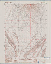
 1956 Tonopah1974 Print · USGSCentral Nevada in the mid-fifties reveals a landscape shaped by mining and military footprints. Trace old silver districts near Tonopah and Manhattan, or locate early industrial sites like the Borax works at Columbus Salt Marsh.2 unique versions available
 - 1959 Map of Tonopah
 1959 Tonopah1959 Print · USGSCentral Nevada in the late fifties is a landscape of high desert ranges and mining history. Trace the remnants of old boomtowns and industrial sites like Berlin, the Gold Hill Mill, and the Victory Tungsten Mine.2 unique versions available
 - 1962 Map of Tonopah
 1962 Tonopah1962 Print · USGSCentral Nevada's high desert mining country is captured here during the early sixties, showing the enduring footprint of the silver and gold rushes. Researchers can trace the decline of historic camps and locate industrial sites like the Tybo Mine, Victory Tungsten Mine, and the Mt. Moriah Cemetery.2 unique versions available
 - 1964 Map of San Antonio Ranch, 1965 Print
 1964 San Antonio Ranch1965 Print · USGSThe high desert of central Nevada in the mid-1960s reveals a sparse landscape shaped by mining and ranching. Researchers can trace the heritage of the San Antonio Mountains through the San Antonio Mine, Liberty Mine, and the historic Midway Station (Site).2 unique versions available
 - 1987 Map of Rainier Mountain
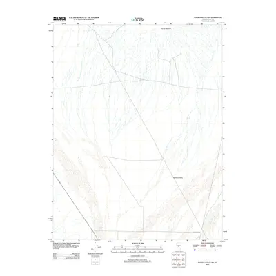
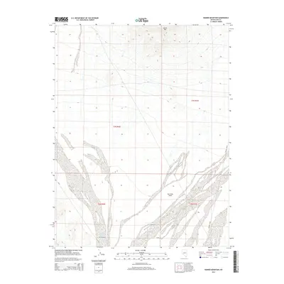
 1987 Rainier Mountain1987 Print · USGSNye County's high-desert basin comes into focus in the late 1980s, documenting the remote terrain between the mountains and the valley floor. Researchers can trace water resources and early mineral exploration at Well 5092, Peavine, and various Prospects.
 - 1987 Map of Tonopah
 1987 Tonopah1987 Print · USGSThe mining heart of central Nevada is surveyed here in the late eighties, showing the specialized industrial landscape surrounding Tonopah. Researchers can trace early extraction sites like the Cinnabar Mine and defunct transportation routes along the Old Railroad Grade.2 unique versions available
 - 2012 Map of Rainier Mountain, 2012 Print
 2012 Rainier Mountain2012 Print · USGSCovers Lower Smoky Valley, including Nye County, United States, and other nearby areas
 - 2014 Map of Rainier Mountain, 2014 Print
 2014 Rainier Mountain2014 Print · USGSCovers Lower Smoky Valley, including Nye County, United States, and other nearby areas
 - 2018 Map of Rainier Mountain, 2018 Print
 2018 Rainier Mountain2018 Print · USGSCovers Lower Smoky Valley, including Nye County, United States, and other nearby areas
 - 2021 Map of Rainier Mountain, 2021 Print
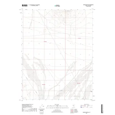
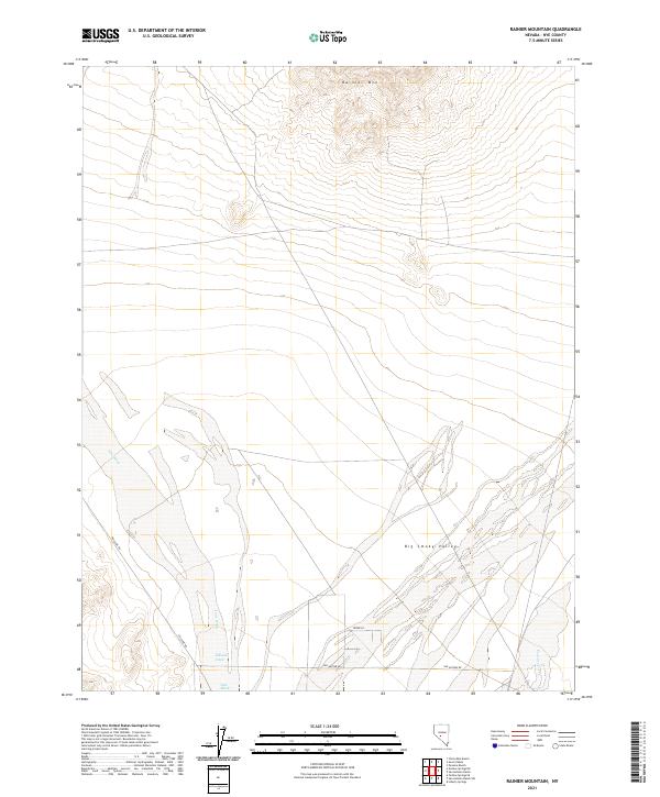 2021 Rainier Mountain2021 Print · USGSNye County's high desert reaches and valley floors are captured here in the contemporary era. Researchers can trace the rugged topography of Rainier Mtn or follow the desert paths of Poleline Rd and Ione Wash across the valley.
End of results
Showing maps 1-12 of 12
Frequently asked questions
- What are the different types of historical maps available for Lower Smoky Valley?
- What is the oldest map of Lower Smoky Valley?
- Where can I purchase historical maps of Lower Smoky Valley for my home or office?
- Where can I download high-res historical maps of Lower Smoky Valley?
- Are there historical topographic maps available for Lower Smoky Valley?
- Is there historical aerial imagery available for Lower Smoky Valley?
- Where are historical maps of Lower Smoky Valley sourced from?