Old Maps of Tonopah, Nevada for Academic Research
Study the evolution of Tonopah with 23 high-resolution historic maps. Whether you're teaching, researching, or modeling changes in land use, these maps provide essential visual documentation of urban, environmental, and geographic change.
- Analyze long-term change: Track patterns in development, transportation, and natural features.
- Ideal for environmental or urban studies: Support academic projects with primary historical map data.
- Use in the classroom or lab: Educators and researchers rely on these maps to bring historical context to life.
These maps are a powerful tool for teaching, research, and visualizing how Tonopah has changed over the decades.
Tonopah, NV maps
(23)- 1907 Map of Tonopah, 1955 Print
 1907 Tonopah1955 Print · USGSCentral Nevada's mining heartland comes alive in this survey of the high desert and mountain ranges at the peak of the silver and gold booms. Researchers can trace the early rail networks of the Goldfield RR and locate sites like Round Mountain, the Orizaba Mine, and Darrough's Hot Springs.
 - 1908 Map of Tonopah
 1908 Tonopah1908 Print · USGSCentral Nevada's mining boom is frozen in time in this early century survey of the Tonopah and Manhattan districts. Trace the old Tonopah and Goldfield RR lines to vanished camps like Berlin and active sites such as the Nevada Mine.3 unique versions available
 - 1956 Map of Tonopah, 1974 Print
 1956 Tonopah1974 Print · USGSCentral Nevada in the mid-fifties reveals a landscape shaped by mining and military footprints. Trace old silver districts near Tonopah and Manhattan, or locate early industrial sites like the Borax works at Columbus Salt Marsh.2 unique versions available
 - 1959 Map of Tonopah
 1959 Tonopah1959 Print · USGSCentral Nevada in the late fifties is a landscape of high desert ranges and mining history. Trace the remnants of old boomtowns and industrial sites like Berlin, the Gold Hill Mill, and the Victory Tungsten Mine.2 unique versions available
 - 1960 Map of Tonopah, 1961 Print
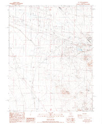
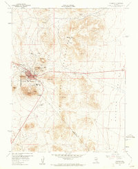 1960 Tonopah1961 Print · USGSThe high-desert mining hub of Tonopah is captured here in the early 1960s at the intersection of Nye and Esmeralda counties. Researchers can trace historic mineral claims and local landmarks like Mizpah Hill, Boston Tonopah, and Henderson Park.4 unique versions available
 - 1961 Map of Tonopah, 1962 Print
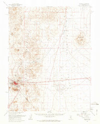 1961 Tonopah1962 Print · USGSThe silver-rich hub of Tonopah is captured here in the early 1960s, showing the town surrounded by a labyrinth of mining claims and rugged desert peaks. Genealogists and historians can locate specific sites like the Belle of Tonopah Mine, the old settlement at Rays, and landmarks such as Henderson Park.2 unique versions available
 - 1961 Map of Lone Mtn, 1962 Print
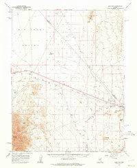 1961 Lone Mtn1962 Print · USGSThe Esmeralda and Nye County borderlands come into focus in the early sixties, showing the industrial pulse of the Nevada desert. Researchers can trace the path of the Old Railroad Grade and locate long-standing landmarks like Millers, the Lambertucci Airstrip, and remote Montezuma Wells.2 unique versions available
 - 1962 Map of Tonopah
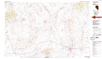
 1962 Tonopah1962 Print · USGSCentral Nevada's high desert mining country is captured here during the early sixties, showing the enduring footprint of the silver and gold rushes. Researchers can trace the decline of historic camps and locate industrial sites like the Tybo Mine, Victory Tungsten Mine, and the Mt. Moriah Cemetery.2 unique versions available
 - 1987 Map of Crescent Dunes
 1987 Crescent Dunes1987 Print · USGSThe arid basins of Nye and Esmeralda counties are captured here in the late 1980s during a period of mineral exploration. Trace 4WD tracks to find numerous Prospects, a Corral, and the shifting Sand Dunes at the base of the San Antonio Mountains.
 - 1987 Map of Mt. Butte
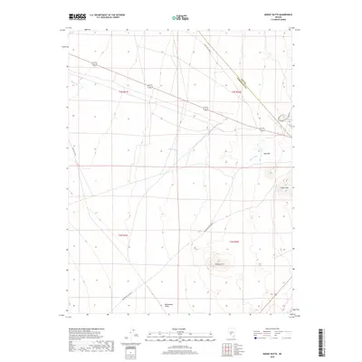
 1987 Mt. Butte1987 Print · USGSMining activity and high-desert terrain define the border of Esmeralda and Nye counties during the late 1980s. Historians and mineral collectors can trace the location of the Hill of Gold Mine, an Old Railroad Grade, and numerous Prospects scattered near Siebert Mtn.
 - 1987 Map of Tonopah
 1987 Tonopah1987 Print · USGSThe mining heart of central Nevada is surveyed here in the late eighties, showing the specialized industrial landscape surrounding Tonopah. Researchers can trace early extraction sites like the Cinnabar Mine and defunct transportation routes along the Old Railroad Grade.2 unique versions available
 - 2012 Map of Mount Butte, 2012 Print
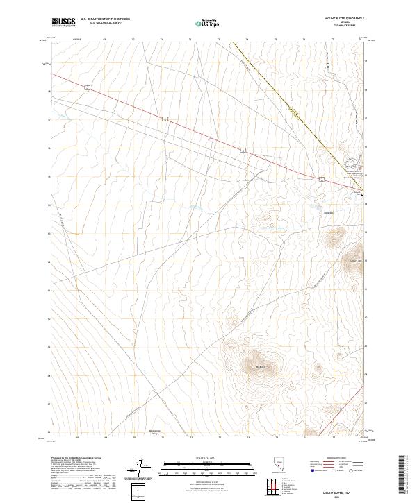
 2012 Mount Butte2012 Print · USGSCovers Tonopah, including Nye County, Esmeralda County, and other nearby areas
 - 2012 Map of Crescent Dunes, 2012 Print
 2012 Crescent Dunes2012 Print · USGSCovers Tonopah, including Nye County, Esmeralda County, and other nearby areas
 - 2012 Map of Tonopah, 2012 Print
 2012 Tonopah2012 Print · USGSCovers Tonopah, including Nye County, Esmeralda County, and other nearby areas
 - 2014 Map of Tonopah, 2014 Print
 2014 Tonopah2014 Print · USGSCovers Tonopah, including Nye County, Esmeralda County, and other nearby areas
 - 2014 Map of Crescent Dunes, 2014 Print
 2014 Crescent Dunes2014 Print · USGSCovers Tonopah, including Nye County, Esmeralda County, and other nearby areas
 - 2014 Map of Mount Butte, 2014 Print
 2014 Mount Butte2014 Print · USGSCovers Tonopah, including Nye County, Esmeralda County, and other nearby areas
 - 2018 Map of Mount Butte, 2018 Print
 2018 Mount Butte2018 Print · USGSCovers Tonopah, including Nye County, Esmeralda County, and other nearby areas
 - 2018 Map of Tonopah, 2018 Print
 2018 Tonopah2018 Print · USGSCovers Tonopah, including Nye County, Esmeralda County, and other nearby areas
 - 2018 Map of Crescent Dunes, 2018 Print
 2018 Crescent Dunes2018 Print · USGSCovers Tonopah, including Nye County, Esmeralda County, and other nearby areas
 - 2021 Map of Mount Butte, 2021 Print
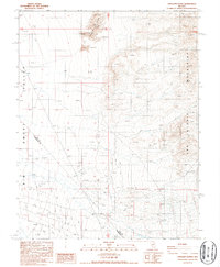
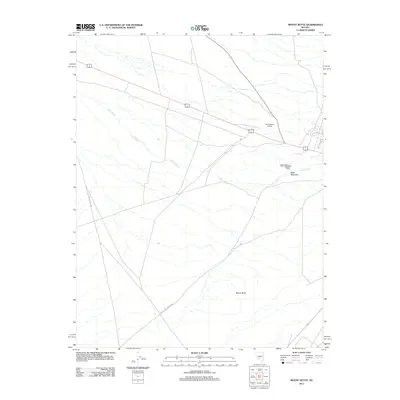
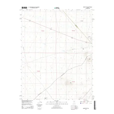
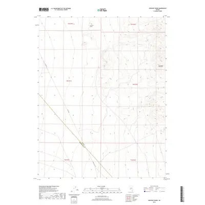
 2021 Mount Butte2021 Print · USGSThe high-desert terrain of the Esmeralda and Nye county line is captured here in the early twenty-first century. Genealogists and historians can trace the roads into Tonopah Cem and locate landmarks like Mt Butte or the William P Beko Justice Complex.
 - 2021 Map of Crescent Dunes, 2021 Print
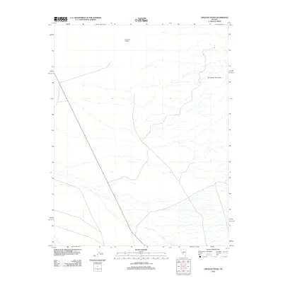
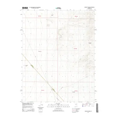
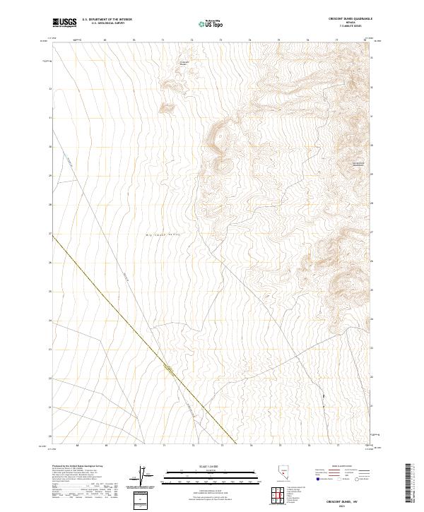 2021 Crescent Dunes2021 Print · USGSThe high desert of central Nevada is captured here in the early twenty-first century, spanning the border between Nye and Esmeralda counties. Geologists and desert travelers can trace the contours of the Crescent Dunes and follow the long stretches of Gabbs Pole Line Rd as it cuts through the Big Smoky Valley.
 - 2021 Map of Tonopah, 2021 Print
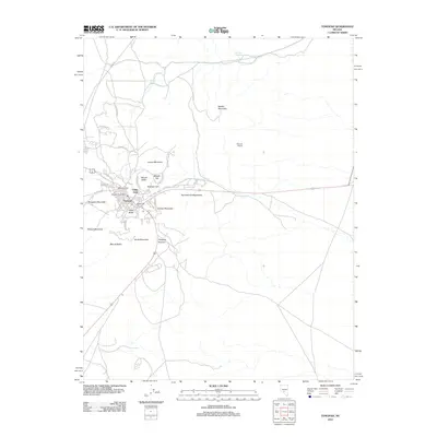
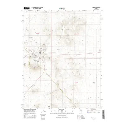
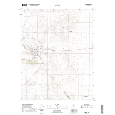
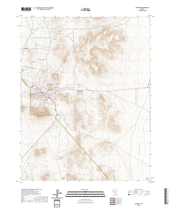 2021 Tonopah2021 Print · USGSTonopah stands at the edge of the desert at the start of the 2020s, showing the town's modern layout amid its famous mineral-rich hills. Researchers can trace the proximity of the settlement to Mizpah Hill, Mt Butler, and the Klondyke Hills.
End of results
Showing maps 1-23 of 23
Top neighborhoods of Tonopah
Frequently asked questions
- What are the different types of historical maps available for Tonopah?
- What is the oldest map of Tonopah?
- Where can I purchase historical maps of Tonopah for my home or office?
- Where can I download high-res historical maps of Tonopah?
- Are there historical topographic maps available for Tonopah?
- Is there historical aerial imagery available for Tonopah?
- Where are historical maps of Tonopah sourced from?