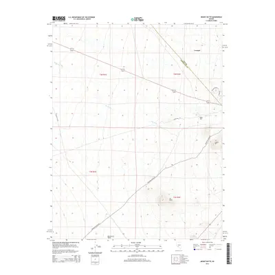
2014 Map of Mount Butte
USGS Topo · Published 2014About this map
The high desert landscape of Tonopah extends into this 2014 survey, where the border of Nye and Esmeralda counties crosses arid terrain. The map is defined by prominent volcanic features including Mt Butte and Siebert Mtn, which rise above the surrounding flats of Montezuma Valley. Transportation and access across this region are marked by several specialized routes, from the namesake Millers Cutoff to the winding Paymaster Canyon RD. The drainage of Slime Wash cuts through the northeast, illustrating the hydraulic patterns of this basin-and-range environment. This modern topographic record captures the transition from the town's outskirts to the isolated reaches of Table Mtn, showing the survey lines and road networks that support the region's ranching and mining heritage.
Find a feature on this map
16 named features on this map. Tap any name to fly to it.
Don’t see what you’re looking for? This feature index may not catch every label — zoom into the map to look around manually.
Map Details
Editions of this 2014 Mount Butte Map
This is the sole edition of this map. No revisions or reprints were ever made.
Other maps of this area

1907 · Tonopah
USGS Topo · 1:250,000

1908 · Lida
USGS Topo · 1:250,000

1908 · Tonopah
USGS Topo · 1:250,000

1913 · Lida
USGS Topo · 1:250,000

1945 · Goldfield
USGS Topo · 1:125,000

1952 · Mud Lake
USGS Topo · 1:62,500

1954 · Goldfield
USGS Topo · 1:250,000

1955 · Goldfield
USGS Topo · 1:250,000

1956 · Tonopah
USGS Topo · 1:250,000

1958 · Goldfield
USGS Topo · 1:250,000