Old Maps of Sparks, Nevada for Metal Detecting
Plan your next treasure hunt with 27 historic maps of Sparks. Find old homesites, ghost towns, trails, and gathering spots that may be lost to time — perfect for identifying promising metal detecting locations.
- Locate forgotten sites: Uncover places like long-lost settlements, abandoned rail lines, or gathering spots.
- Plan better hunts: Use map overlays combined with LiDAR or satellite views to narrow in on historically rich areas.
- Made for detectorists: Thousands of hobbyists use these maps to discover relics, coins, and hidden history.
Use these historic maps to boost your research and find new opportunities beneath the surface of Sparks.
Sparks, NV maps
(27)- 1891 Map of Reno
 1891 Reno1891 Print · USGSReno and the high desert valleys of Washoe County were undergoing a rail-driven expansion in the early 1890s. Genealogists and historians can trace early settlements like Poeville and Glendale or follow the path of the Central Pacific Railroad through Truckee Meadows.
 - 1893 Map of Reno
 1893 Reno1893 Print · USGSWashoe and Storey counties come to life in the late nineteenth century as Reno emerges as a major railroad hub. Researchers can trace the early paths of the Central Pacific Railroad and locate vanished outposts like Poeville and Junction House.7 unique versions available
 - 1950 Map of Reno, 1957 Print
 1950 Reno1957 Print · USGSMid-century Reno and Sparks appear here alongside the vital irrigation networks that sustained the Truckee Meadows. Researchers can trace the development of older neighborhoods and outlying sites like Poeville (Site), the Reno Fair Grounds, and Skyline Airfield.3 unique versions available
 - 1951 Map of Reno
 1951 Reno1951 Print · USGSMid-century Nevada comes into focus as Reno and Sparks expand along the Truckee River and transcontinental rail lines. Trace family history and local industry through features like Mtnview Cem, the Golden Fleece Mine, and early aviation at Skyline Airfield.2 unique versions available
 - 1957 Map of Vista, 1959 Print
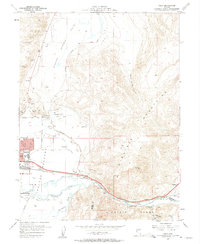 1957 Vista1959 Print · USGSSparks and the Truckee River corridor are captured during a period of mid-century growth and industrial expansion. Genealogists and local historians can trace the development of neighborhood schools like Lincoln Park Sch or locate the Dominican Brothers Monastery and the railroad stop at Vista.2 unique versions available
 - 1957 Map of Spanish Springs Valley, 1959 Print
 1957 Spanish Springs Valley1959 Print · USGSWashoe County at the end of the fifties shows the transition from historic ranching life to early suburban growth. Genealogists and historians can trace the Southern Pacific corridor through Mustang and Hafed or locate family sites like the Wilcox Ranch and Home Ranch.3 unique versions available
 - 1957 Map of Reno, 1963 Print
 1957 Reno1963 Print · USGSWestern Nevada in the early sixties is a land of sprawling desert sinks and rising mountain ranges. Genealogists and historians can trace the rail-and-river network connecting Reno, the mining legacy of Rawhide Mine, and the boundaries of the Pyramid Lake Indian Reservation.5 unique versions available
 - 1959 Map of Reno
 1959 Reno1959 Print · USGSWestern Nevada in the late fifties was a land of expanding military airbases and high-desert irrigation projects. You can trace the lineage of the Comstock era through Carson City, locate the Pony Express Monument, or study the rail networks of the Southern Pacific RR.
 - 1960 Map of Reno
 1960 Reno1960 Print · USGSThe high desert of western Nevada comes alive in this mid-century survey of the Reno-Tahoe region. Genealogists and historians can trace rail lines like the Southern Pacific RR and locate remote outposts such as Olinghouse, Nixon, and the Olinghouse Mine.2 unique versions available
 - 1967 Map of Reno, 1971 Print
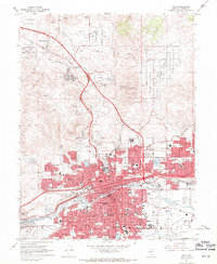 1967 Reno1971 Print · USGSReno and Sparks appear in the late sixties as the Truckee River valley transforms into a major regional hub. Genealogists and local historians can trace family neighborhoods, schools like Maxwell Sch, and landmarks including the Reno-Sparks Indian Colony and Mountain View Cem.4 unique versions available
 - 1974 Map of Reno, 1976 Print
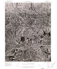 1974 Reno1976 Print · USGSNorthern Nevada during the mid-seventies comes into sharp focus in this aerial study of the growing Reno-Sparks area. Trace the urban sprawl and early infrastructure surrounding Reno, Sparks, and the winding Truckee River.
 - 1975 Map of Vista, 1977 Print
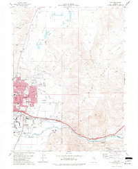 1975 Vista1977 Print · USGSMid-century Nevada expansion is evident here as the city of Sparks reaches toward the Pah Rah Range. Researchers can trace the mid-seventies landscape of schools like Reed High Sch, agricultural sites like the University of Nevada Farm, and small outposts such as Mustang.4 unique versions available
 - 1980 Map of Griffith Canyon
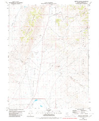 1980 Griffith Canyon1980 Print · USGSWashoe County's high desert landscape appears in great detail in the early eighties, showcasing a region defined by its rugged ranges and scattered mining prospects. Researchers can trace historic access routes like Bacon Rind Road to find local landmarks such as Little Hungry Spring and Sugarloaf Peak.2 unique versions available
 - 1980 Map of Reno
 1980 Reno1980 Print · USGSReno and its high-desert surroundings appear in transition during the 1980s, balancing rapid urban expansion with its deep mining and ranching roots. Genealogists and historians can trace the Southern Pacific line through Fernley or locate local landmarks like Mountain View Cem and the Ruth Mine.3 unique versions available
 - 2011 Map of Vista, 2011 Print
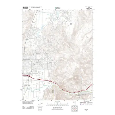 2011 Vista2011 Print · USGSThe Truckee River corridor east of Sparks is captured here just as modern residential development began to transform the ranching landscape. Genealogists and local historians can trace legacy properties like Mustang Ranch, Stead Ranch, and the Eastman Mill along the valley floor.
 - 2011 Map of Griffith Canyon, 2011 Print
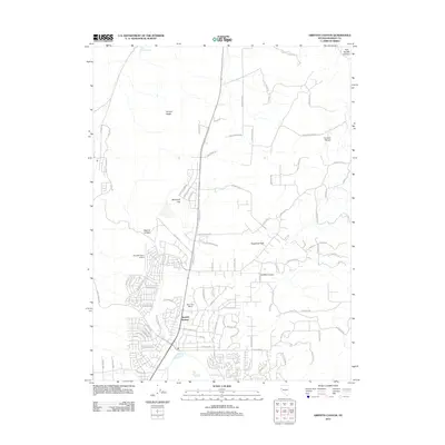 2011 Griffith Canyon2011 Print · USGSSpanish Springs and its high desert surroundings are captured in this early 21st-century record of suburban growth. Trace the expansion of local neighborhoods and aviation landmarks like Nevada Flyers Airport or the terrain of Boneyard Flat and Hungry Ridge.
 - 2012 Map of Reno, 2012 Print
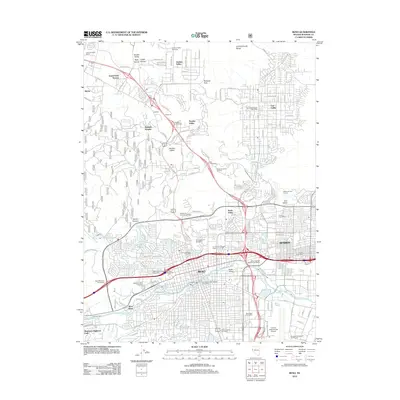 2012 Reno2012 Print · USGSReno and Sparks are shown in high detail during the early 2010s, capturing the rapid expansion of these Nevada urban centers. Researchers can trace the modern layout of the University of Nevada, find the Round House in Sparks, or locate Mother of Sorrows Cemetery.
 - 2014 Map of Griffith Canyon, 2014 Print
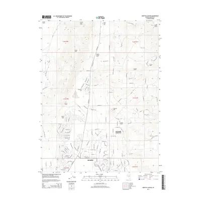 2014 Griffith Canyon2014 Print · USGSThe northern edge of the Truckee Meadows meets the high desert in the mid-2010s as development climbs toward the Curnow Range. Local historians can trace modern suburban expansion near the Spanish Springs Airport and the geological margins of Boneyard Flat.
 - 2015 Map of Reno, 2015 Print
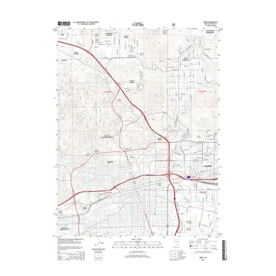 2015 Reno2015 Print · USGSThe Reno and Sparks urban corridor is captured here in the mid-2010s, flanked by the high desert peaks of the Toiyabe National Forest. Genealogists and historians can locate specific landmarks like Mother of Sorrows Cemetery, the Univ of Nevada-Reno, and the vital Truckee River.
 - 2015 Map of Vista, 2015 Print
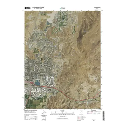 2015 Vista2015 Print · USGSSparks and eastern Reno are shown during a period of significant valley expansion in the mid-2010s. Trace the historic water routes of Pioneer Ditch and Steamboat Cr as they weave through the Truckee Meadows and toward Lockwood.
 - 2018 Map of Reno, 2018 Print
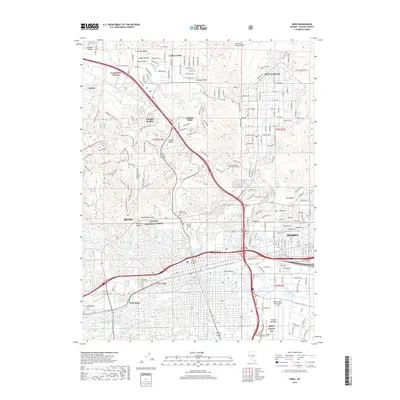 2018 Reno2018 Print · USGSReno and Sparks expanded rapidly into the surrounding valleys and mountain foothills by the late twenty-teens. Researchers can trace local landmarks like the University of Nevada - Reno, Virginia Lake, and historic cemeteries including Mountain View Cem.
 - 2018 Map of Griffith Canyon, 2018 Print
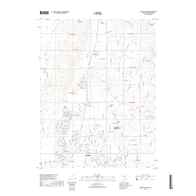 2018 Griffith Canyon2018 Print · USGSSparks and Spanish Springs are shown during a period of modern expansion in the Nevada high desert. Genealogists and researchers can trace suburban growth alongside landmarks like Sugarloaf Peak and the Spanish Springs Airport.
 - 2018 Map of Vista, 2018 Print
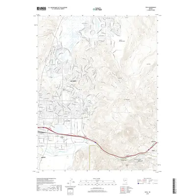 2018 Vista2018 Print · USGSWestern Nevada's urban fringe meets the high desert in this 2018 survey of the Truckee Meadows. Local historians can trace the transition from Reno and Sparks through the river canyon to smaller outposts like Vista, Lockwood, and Mustang.
 - 2021 Map of Vista, 2021 Print
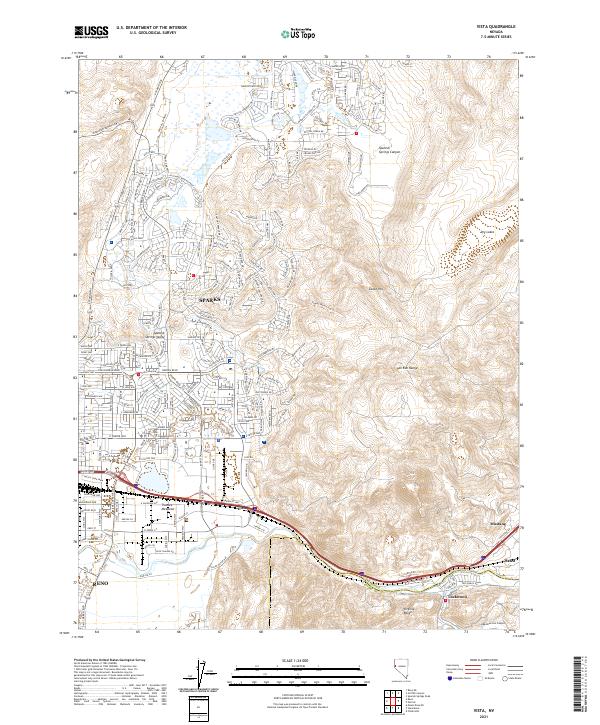 2021 Vista2021 Print · USGSThe eastern edge of the Reno-Sparks metropolitan area is captured here during its twenty-first-century expansion. Trace the growth of Spanish Springs Valley or follow the Union Pacific rail line through Truckee Meadows to Mustang.
 - 2021 Map of Griffith Canyon, 2021 Print
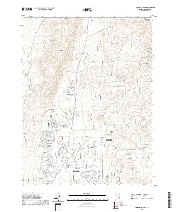 2021 Griffith Canyon2021 Print · USGSThe Spanish Springs area north of Sparks is captured here during its period of rapid modern growth. Researchers can trace the development of suburban neighborhoods against the desert backdrop of the Junction House Range, Sugarloaf Peak, and Boneyard Flat.
Showing maps 1-25 of 27
Top cities near Sparks
Top neighborhoods of Sparks
- Wingfield Springs historical maps
- Pioneer Meadows historical maps
- Highlands historical maps
- Foothills at Wingfield historical maps
- Antelope Ridge Estates historical maps
- Bella Vista historical maps
See more
Frequently asked questions
- What are the different types of historical maps available for Sparks?
- What is the oldest map of Sparks?
- Where can I purchase historical maps of Sparks for my home or office?
- Where can I download high-res historical maps of Sparks?
- Are there historical topographic maps available for Sparks?
- Is there historical aerial imagery available for Sparks?
- Where are historical maps of Sparks sourced from?