2000s (21st Century) Maps of New Hampshire
Explore 1,085 historic maps of New Hampshire from the 2000s (21st Century). These maps offer a rare glimpse into what life looked like during the 2000s — showing old roads, neighborhoods, homes, and landmarks that have changed or disappeared over time.
Whether you're researching your family's past, planning a metal detecting trip, or studying how New Hampshire's landscape evolved across the 2000s, these high-resolution maps are a powerful tool for exploring the history of this region.
- Focus on a specific era: All maps on this page are from the 2000s, giving you a focused view of this time period.
- See what’s changed: Compare century-old streets, trails, and buildings to today's modern landscape using overlays and satellite layers.
- Research with precision: Use these maps for genealogy, historical research, land use analysis, or educational projects.
- View, download, or print: Maps are fully viewable online in high resolution, and can be downloaded or printed for your own records.
Start exploring New Hampshire's history through authentic maps from the 2000s. This is your window into the past.
New Hampshire maps
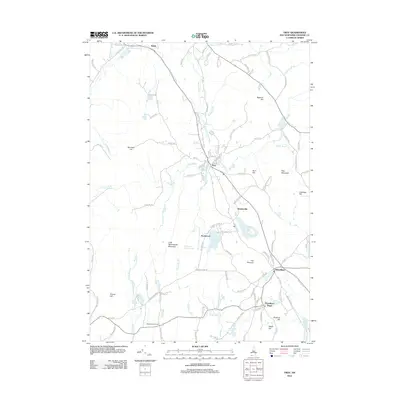
(1,085)- 2000 Map of Franklin, 2001 Print
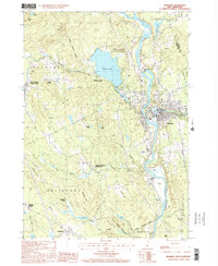 2000 Franklin2001 Print · USGSFranklin and its neighbors thrive at the turn of the millennium where the Pemigewasset and Winnipesaukee rivers meet. Genealogists and historians can trace local landmarks like the Daniel Webster Birthplace, the old Halcyon Sta, and Webster Place.
 - 2000 Map of Ashland, 2001 Print
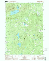
 2000 Ashland2001 Print · USGSGrafton County's river valleys and mountain ridges are captured here as they appeared at the start of the new millennium. Researchers can trace land use through Scribner-Fellows State Forest, local burials at Cem, and shoreline changes at Newfound Lake.
 - 2000 Map of Bristol, 2001 Print
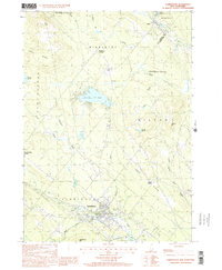
 2000 Bristol2001 Print · USGSThe Pemigewasset River valley comes to life at the turn of the millennium, showing the intersecting boundaries of three New Hampshire counties. Researchers can trace the legacy of local conservation and industry through the New Hampton State Fish Hatchery and the high ridges of Huses Mountain.
 - 2000 Map of Tuftonboro, 2001 Print
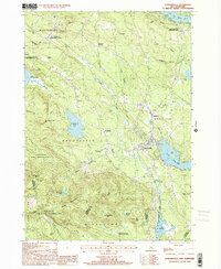
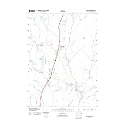
 2000 Tuftonboro2001 Print · USGSThe lakeside communities and mountain foothills of Carroll County are captured here at the turn of the millennium. Genealogists and local historians can locate early homestead sites near Water Village, Chickville, and the historic Stockbridge Corner.
 - 2000 Map of Webster, 2001 Print
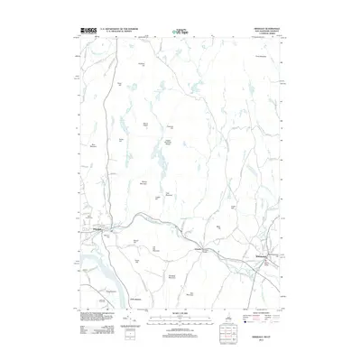
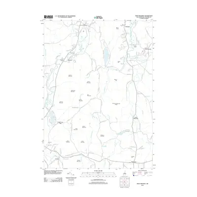
 2000 Webster2001 Print · USGSMerrimack County at the close of the millennium reveals a landscape shaped by its river systems and early mill settlements. Researchers can trace the development of Dingit Corner and Swetts Mills or locate family landmarks near Pillsbury Lake.
 - 2000 Map of Farmington, 2001 Print
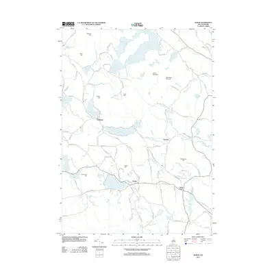
 2000 Farmington2001 Print · USGSThe Strafford County highlands around Farmington at the end of the century reveal a landscape of river valleys and ridgelines. Trace the Old Railroad Grade past Sunrise Lake or locate old homesteads near Middleton Corners and Hayes Corner.
 - 2000 Map of Teakettle Ridge, 2001 Print
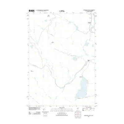
 2000 Teakettle Ridge2001 Print · USGSCoos County at the end of the millennium is characterized by the winding Androscoggin River and the forested slopes of Teakettle Ridge. Local researchers can trace land features from Mollidgewock State Park to landmarks like Wentworth Island and Seven Islands.
 - 2000 Map of Sanbornville, 2001 Print
 2000 Sanbornville2001 Print · USGSThe eastern Carroll County highlands at the turn of the millennium show a landscape of historic rail stations and protected forests. Trace local heritage at Cotton Valley Station, the Governor Wentworth State Farm, and the slopes of the Moose Mountains.
 - 2011 Map of Kezar Falls, 2011 Print
 2011 Kezar Falls2011 Print · USGSCovers New Hampshire, including Parsonsfield, Effingham, and other nearby areas
 - 2011 Map of Great East Lake, 2011 Print
 2011 Great East Lake2011 Print · USGSCovers New Hampshire, including Wakefield, Milton, and other nearby areas
 - 2011 Map of West Newfield, 2011 Print
 2011 West Newfield2011 Print · USGSCovers New Hampshire, including Wakefield, Parsonsfield, and other nearby areas
 - 2011 Map of Bosebuck Mountain, 2011 Print
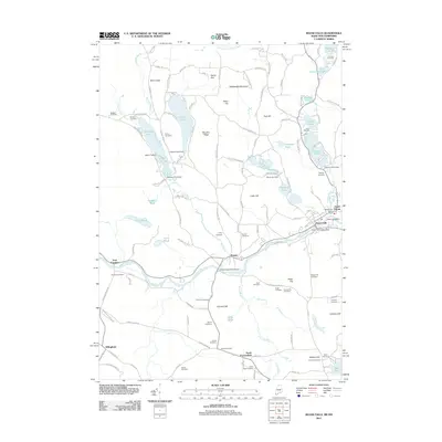
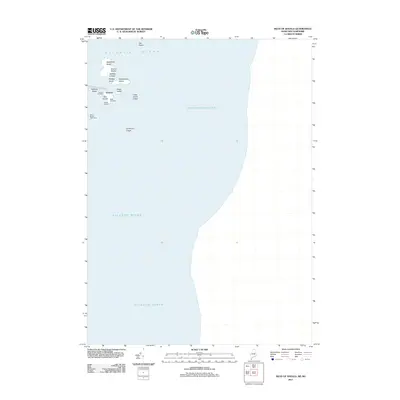
 2011 Bosebuck Mountain2011 Print · USGSCovers New Hampshire, including Pittsburg, Lynchtown Township, and other nearby areas
 - 2011 Map of Rump Mountain, 2011 Print
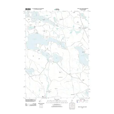
 2011 Rump Mountain2011 Print · USGSCovers New Hampshire, including Pittsburg, Parmachenee Township, and other nearby areas
 - 2011 Map of Fryeburg, 2011 Print
 2011 Fryeburg2011 Print · USGSCovers New Hampshire, including Conway, Fryeburg, and other nearby areas
 - 2011 Map of Moose Bog, 2011 Print
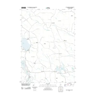
 2011 Moose Bog2011 Print · USGSCovers New Hampshire, including Pittsburg, Notre-Dame-des-Bois, and other nearby areas
 - 2011 Map of Kittery, 2011 Print
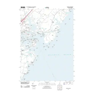 2011 Kittery2011 Print · USGSCovers New Hampshire, including Portsmouth, York, and other nearby areas
 - 2011 Map of Isles of Shoals, 2011 Print
 2011 Isles of Shoals2011 Print · USGSCovers New Hampshire, including Kittery, Rye, and other nearby areas
 - 2011 Map of Brownfield, 2011 Print
 2011 Brownfield2011 Print · USGSCovers New Hampshire, including Conway, Fryeburg, and other nearby areas
 - 2011 Map of Wilsons Mills, 2011 Print
 2011 Wilsons Mills2011 Print · USGSCovers New Hampshire, including Magalloway Plantation, Lincoln Plantation, and other nearby areas
 - 2012 Map of Troy, 2012 Print
 2012 Troy2012 Print · USGSCovers New Hampshire, including Swanzey, Jaffrey, and other nearby areas
 - 2012 Map of Hinsdale, 2012 Print
 2012 Hinsdale2012 Print · USGSCovers New Hampshire, including Swanzey, Winchester, and other nearby areas
 - 2012 Map of Dublin, 2012 Print
 2012 Dublin2012 Print · USGSCovers New Hampshire, including Peterborough, Hancock, and other nearby areas
 - 2012 Map of Woodsville, 2012 Print
 2012 Woodsville2012 Print · USGSCovers New Hampshire, including Haverhill, Newbury, and other nearby areas
 - 2012 Map of West Swanzey, 2012 Print
 2012 West Swanzey2012 Print · USGSCovers New Hampshire, including Swanzey, Winchester, and other nearby areas
 - 2012 Map of Maidstone Lake, 2012 Print
 2012 Maidstone Lake2012 Print · USGSCovers New Hampshire, including Stratford, East Haven, and other nearby areas
Showing maps 1-25 of 1,085
Top cities of New Hampshire
- Manchester historical maps
- Nashua historical maps
- Concord historical maps
- Derry historical maps
- Dover historical maps
- Rochester historical maps
See more
Top counties of New Hampshire
- Hillsborough County historical maps
- Rockingham County historical maps
- Merrimack County historical maps
- Strafford County historical maps
- Grafton County historical maps
- Cheshire County historical maps
See more
Frequently asked questions
- What are the different types of historical maps available for New Hampshire?
- What is the oldest map of New Hampshire?
- Where can I purchase historical maps of New Hampshire for my home or office?
- Where can I download high-res historical maps of New Hampshire?
- Are there historical topographic maps available for New Hampshire?
- Is there historical aerial imagery available for New Hampshire?
- Where are historical maps of New Hampshire sourced from?