2020s Maps of Carroll County, New Hampshire
Explore 67 historic maps of Carroll County from the 2020s. These maps offer a rare glimpse into what life looked like during the 2020s — showing old roads, neighborhoods, homes, and landmarks that have changed or disappeared over time.
Whether you're researching your family's past, planning a metal detecting trip, or studying how Carroll County's landscape evolved across the 2020s, these high-resolution maps are a powerful tool for exploring the history of this region.
- Focus on a specific era: All maps on this page are from the 2020s, giving you a focused view of this time period.
- See what’s changed: Compare century-old streets, trails, and buildings to today's modern landscape using overlays and satellite layers.
- Research with precision: Use these maps for genealogy, historical research, land use analysis, or educational projects.
- View, download, or print: Maps are fully viewable online in high resolution, and can be downloaded or printed for your own records.
Start exploring Carroll County's history through authentic maps from the 2020s. This is your window into the past.
Carroll County, NH maps
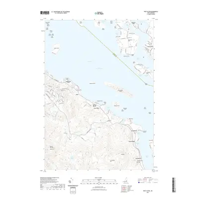
(67)- 2021 Map of West Newfield, 2021 Print
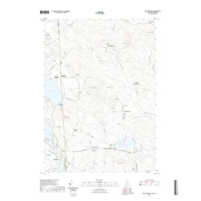 2021 West Newfield2021 Print · USGSCovers Carroll County, including Wakefield, Parsonsfield, and other nearby areas
 - 2021 Map of Kezar Falls, 2021 Print
 2021 Kezar Falls2021 Print · USGSCovers Carroll County, including Parsonsfield, Effingham, and other nearby areas
 - 2021 Map of Brownfield, 2021 Print
 2021 Brownfield2021 Print · USGSCovers Carroll County, including Conway, Fryeburg, and other nearby areas
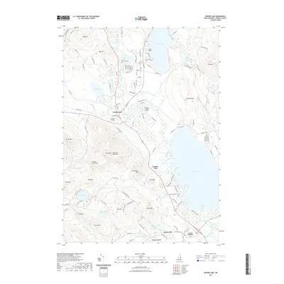
 - 2021 Map of Great East Lake, 2021 Print
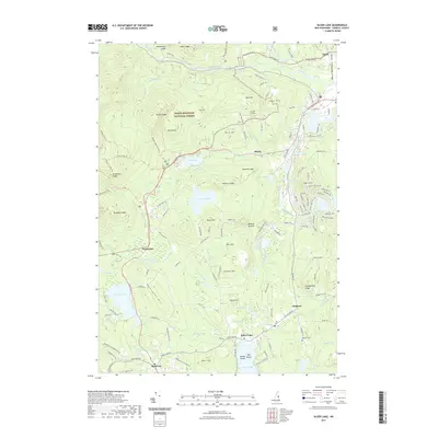
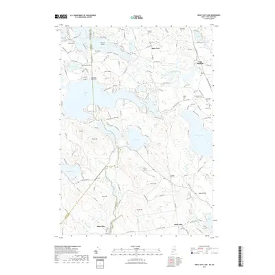 2021 Great East Lake2021 Print · USGSCovers Carroll County, including Wakefield, Milton, and other nearby areas
 - 2021 Map of Center Harbor, 2021 Print
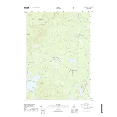
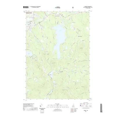
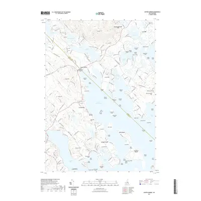 2021 Center Harbor2021 Print · USGSCovers Carroll County, including Laconia, Gilford, and other nearby areas
 - 2021 Map of West Alton, 2021 Print
 2021 West Alton2021 Print · USGSCovers Carroll County, including Gilford, Gilmanton, and other nearby areas
 - 2021 Map of Farmington, 2021 Print
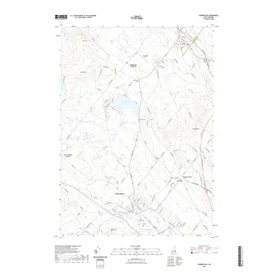 2021 Farmington2021 Print · USGSCovers Carroll County, including Farmington, Wakefield, and other nearby areas
 - 2021 Map of Melvin Village, 2021 Print
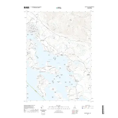 2021 Melvin Village2021 Print · USGSCovers Carroll County, including Gilford, Moultonborough, and other nearby areas
 - 2021 Map of Ossipee Lake, 2021 Print
 2021 Ossipee Lake2021 Print · USGSCovers Carroll County, including Moultonborough, Ossipee, and other nearby areas
 - 2021 Map of Freedom, 2021 Print
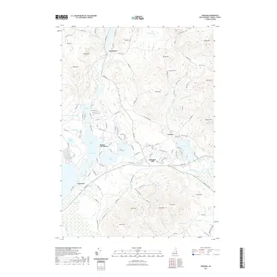 2021 Freedom2021 Print · USGSCovers Carroll County, including Ossipee, Madison, and other nearby areas
 - 2021 Map of Wolfeboro, 2021 Print
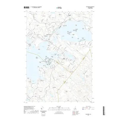 2021 Wolfeboro2021 Print · USGSCovers Carroll County, including Wolfeboro, New Durham, and other nearby areas
 - 2021 Map of Tuftonboro, 2021 Print
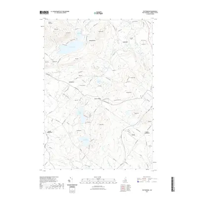 2021 Tuftonboro2021 Print · USGSCovers Carroll County, including Ossipee, Wolfeboro, and other nearby areas
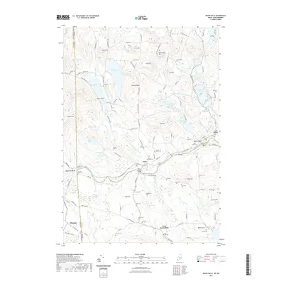
 - 2021 Map of Sanbornville, 2021 Print
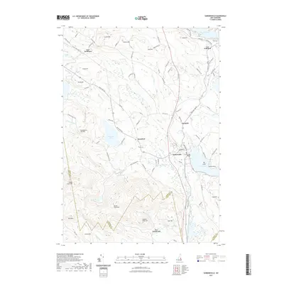 2021 Sanbornville2021 Print · USGSCovers Carroll County, including Wakefield, Milton, and other nearby areas
 - 2021 Map of Holderness, 2021 Print
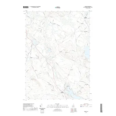
 2021 Holderness2021 Print · USGSCovers Carroll County, including Moultonborough, Meredith, and other nearby areas
 - 2021 Map of Tamworth, 2021 Print
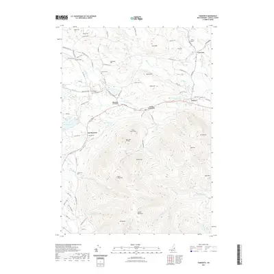 2021 Tamworth2021 Print · USGSCovers Carroll County, including Moultonborough, Ossipee, and other nearby areas
 - 2021 Map of Ossipee, 2021 Print
 2021 Ossipee2021 Print · USGSCovers Carroll County, including Wakefield, Ossipee, and other nearby areas
 - 2021 Map of Fryeburg, 2021 Print
 2021 Fryeburg2021 Print · USGSCovers Carroll County, including Conway, Fryeburg, and other nearby areas
 - 2021 Map of Mount Tripyramid, 2021 Print
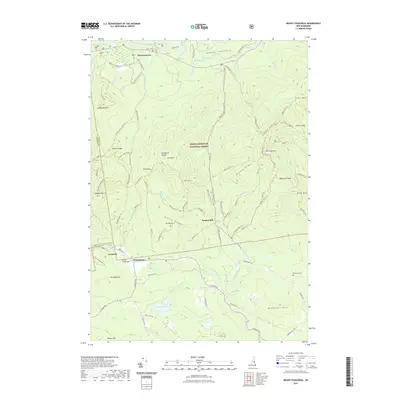
 2021 Mount Tripyramid2021 Print · USGSCovers Carroll County, including Sandwich, Albany, and other nearby areas
 - 2021 Map of Center Sandwich, 2021 Print
 2021 Center Sandwich2021 Print · USGSCovers Carroll County, including Moultonborough, Sandwich, and other nearby areas
 - 2021 Map of Mount Chocorua, 2021 Print
 2021 Mount Chocorua2021 Print · USGSCovers Carroll County, including Tamworth, Sandwich, and other nearby areas
 - 2021 Map of Waterville Valley, 2021 Print
 2021 Waterville Valley2021 Print · USGSCovers Carroll County, including Campton, Thornton, and other nearby areas
 - 2021 Map of Silver Lake, 2021 Print
 2021 Silver Lake2021 Print · USGSCovers Carroll County, including Conway, Tamworth, and other nearby areas
 - 2021 Map of Conway, 2021 Print
 2021 Conway2021 Print · USGSCovers Carroll County, including Conway, Madison, and other nearby areas
 - 2021 Map of Squam Mountains, 2021 Print
 2021 Squam Mountains2021 Print · USGSCovers Carroll County, including Moultonborough, Campton, and other nearby areas
 - 2021 Map of Bartlett, 2021 Print
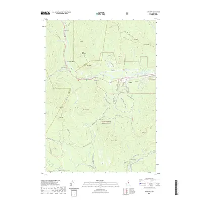 2021 Bartlett2021 Print · USGSCovers Carroll County, including Bartlett, Albany, and other nearby areas
Showing maps 1-25 of 67
Top cities of Carroll County
- Wakefield historical maps
- Moultonborough historical maps
- Ossipee historical maps
- Conway historical maps
- Wolfeboro historical maps
- Bartlett historical maps
See more
Frequently asked questions
- What are the different types of historical maps available for Carroll County?
- What is the oldest map of Carroll County?
- Where can I purchase historical maps of Carroll County for my home or office?
- Where can I download high-res historical maps of Carroll County?
- Are there historical topographic maps available for Carroll County?
- Is there historical aerial imagery available for Carroll County?
- Where are historical maps of Carroll County sourced from?