2000s (21st Century) Maps of Jackson, New Hampshire
Explore 20 historic maps of Jackson from the 2000s (21st Century). These maps offer a rare glimpse into what life looked like during the 2000s — showing old roads, neighborhoods, homes, and landmarks that have changed or disappeared over time.
Whether you're researching your family's past, planning a metal detecting trip, or studying how Jackson's landscape evolved across the 2000s, these high-resolution maps are a powerful tool for exploring the history of this region.
- Focus on a specific era: All maps on this page are from the 2000s, giving you a focused view of this time period.
- See what’s changed: Compare century-old streets, trails, and buildings to today's modern landscape using overlays and satellite layers.
- Research with precision: Use these maps for genealogy, historical research, land use analysis, or educational projects.
- View, download, or print: Maps are fully viewable online in high resolution, and can be downloaded or printed for your own records.
Start exploring Jackson's history through authentic maps from the 2000s. This is your window into the past.
Jackson, NH maps
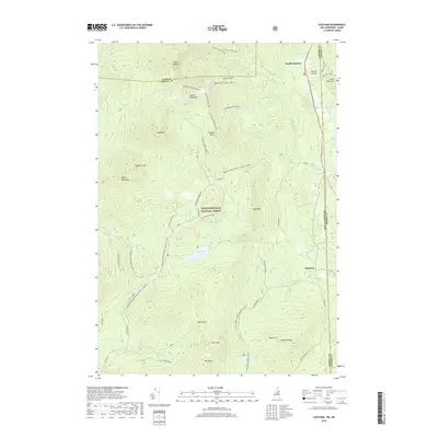
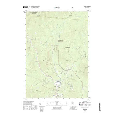
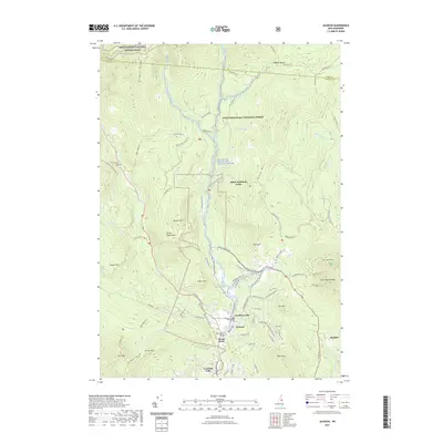
(20)- 2012 Map of Jackson, 2012 Print
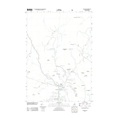 2012 Jackson2012 Print · USGSCovers Jackson, including Bartlett, Ducks Head, and other nearby areas
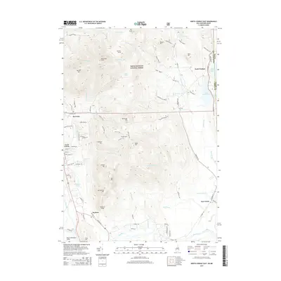
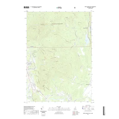
 - 2012 Map of North Conway East, 2012 Print
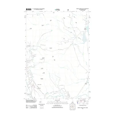 2012 North Conway East2012 Print · USGSCovers Jackson, including Conway, Fryeburg, and other nearby areas
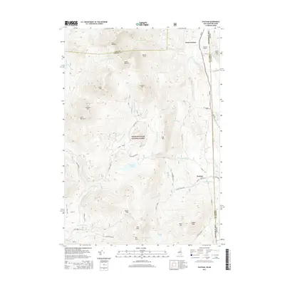
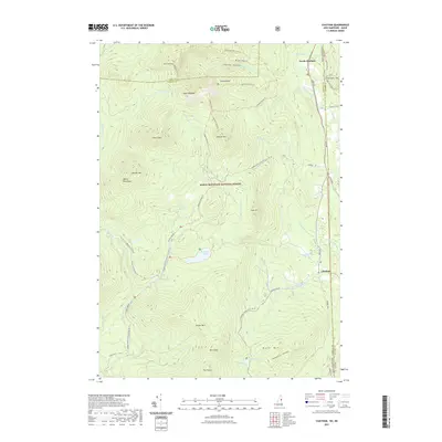
 - 2012 Map of Chatham, 2012 Print
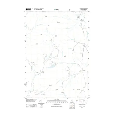 2012 Chatham2012 Print · USGSCovers Jackson, including Bartlett, Stow, and other nearby areas
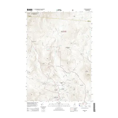
 - 2012 Map of Stairs Mountain, 2012 Print
 2012 Stairs Mountain2012 Print · USGSCovers Jackson, including Bartlett, Hart's Location, and other nearby areas
 - 2015 Map of Jackson, 2015 Print
 2015 Jackson2015 Print · USGSCovers Jackson, including Bartlett, Ducks Head, and other nearby areas
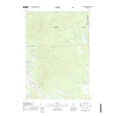
 - 2015 Map of Chatham, 2015 Print
 2015 Chatham2015 Print · USGSCovers Jackson, including Bartlett, Stow, and other nearby areas
 - 2015 Map of Stairs Mountain, 2015 Print
 2015 Stairs Mountain2015 Print · USGSCovers Jackson, including Bartlett, Hart's Location, and other nearby areas
 - 2015 Map of North Conway East, 2015 Print
 2015 North Conway East2015 Print · USGSCovers Jackson, including Conway, Fryeburg, and other nearby areas
 - 2018 Map of Chatham, 2018 Print
 2018 Chatham2018 Print · USGSCovers Jackson, including Bartlett, Stow, and other nearby areas
 - 2018 Map of North Conway East, 2018 Print
 2018 North Conway East2018 Print · USGSCovers Jackson, including Conway, Fryeburg, and other nearby areas
 - 2018 Map of Jackson, 2018 Print
 2018 Jackson2018 Print · USGSCovers Jackson, including Bartlett, Ducks Head, and other nearby areas
 - 2018 Map of Stairs Mountain, 2018 Print
 2018 Stairs Mountain2018 Print · USGSCovers Jackson, including Bartlett, Hart's Location, and other nearby areas
 - 2021 Map of North Conway East, 2021 Print
 2021 North Conway East2021 Print · USGSCovers Jackson, including Conway, Fryeburg, and other nearby areas
 - 2021 Map of Stairs Mountain, 2021 Print
 2021 Stairs Mountain2021 Print · USGSCovers Jackson, including Bartlett, Hart's Location, and other nearby areas
 - 2021 Map of Jackson, 2021 Print
 2021 Jackson2021 Print · USGSCovers Jackson, including Bartlett, Ducks Head, and other nearby areas
 - 2021 Map of Chatham, 2021 Print
 2021 Chatham2021 Print · USGSCovers Jackson, including Bartlett, Stow, and other nearby areas
 - 2024 Map of North Conway East, 2024 Print
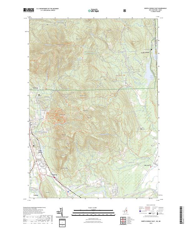 2024 North Conway East2024 Print · USGSThe eastern White Mountains and the Saco River valley appear in detail here during the modern era. Researchers can trace the legacy of early tourism and mountain settlement through family-named landmarks like Rickers Knoll and historic burial grounds such as Kearsarge Cem and Green Hill Cem.
 - 2024 Map of Chatham, 2024 Print
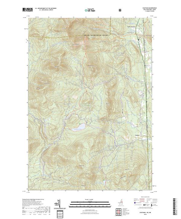 2024 Chatham2024 Print · USGSThe New Hampshire and Maine border country comes alive in this 2024 map of the White Mountains. Researchers can trace family history at Chandler Cem, explore the Mountain Pond backcountry, or follow old trails through North Chatham.
 - 2024 Map of Jackson, 2024 Print
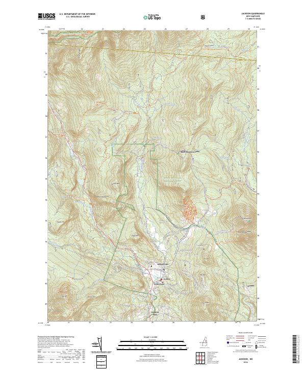 2024 Jackson2024 Print · USGSThe Mount Washington Valley comes into sharp focus during this modern era of forest management and mountain recreation. Researchers can locate family sites near Jackson Village Cem or trace the early paths of the Appalachian National Scenic Trail and Black Mountain Ski Trail.
 - 2024 Map of Stairs Mountain, 2024 Print
 2024 Stairs Mountain2024 Print · USGSThe high peaks of the New Hampshire wilderness are captured here in the contemporary era, showing a landscape defined by preservation and recreation. Hikers and historians can trace the paths of the Appalachian National Scenic Trail or locate landmarks like Arethusa Falls and Giant Stairs.
End of results
Showing maps 1-20 of 20
Top cities near Jackson
- Conway historical maps
- Fryeburg historical maps
- Bartlett historical maps
- Gorham historical maps
- Madison historical maps
- Brownfield historical maps
See more
Top neighborhoods of Jackson
- Jackson Falls historical maps
- Ducks Head historical maps
- Panno Place historical maps
- Dundee historical maps
Frequently asked questions
- What are the different types of historical maps available for Jackson?
- What is the oldest map of Jackson?
- Where can I purchase historical maps of Jackson for my home or office?
- Where can I download high-res historical maps of Jackson?
- Are there historical topographic maps available for Jackson?
- Is there historical aerial imagery available for Jackson?
- Where are historical maps of Jackson sourced from?