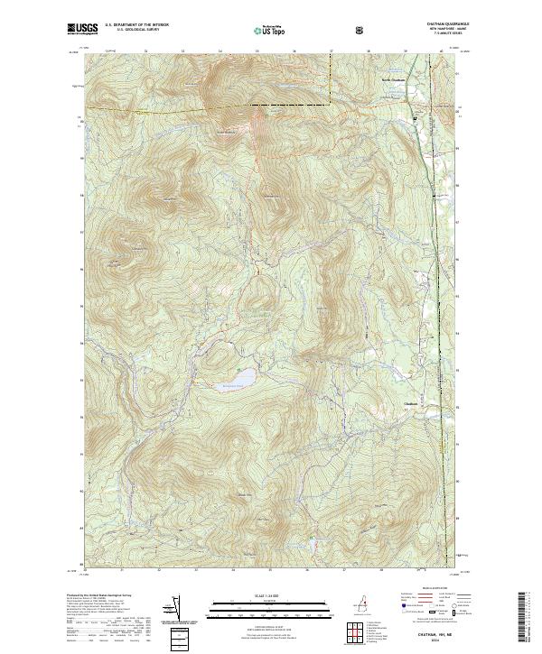
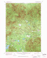
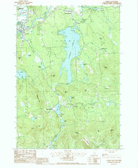
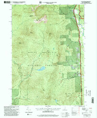
2024 Map of Chatham
USGS Topo · Published 2024About this map
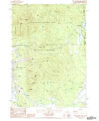
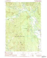
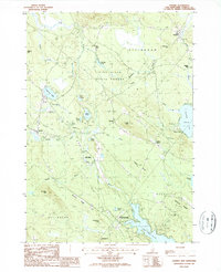
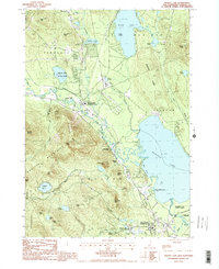
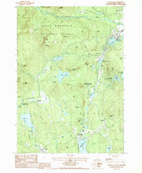
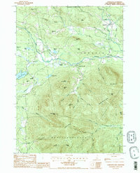
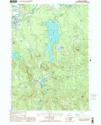
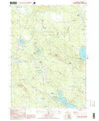
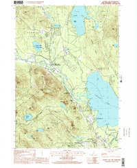
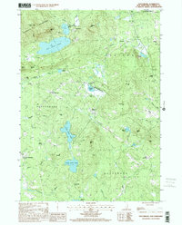
White Mountain National Forest dominates this mountain landscape along the border of New Hampshire and Maine. The rugged terrain is defined by high peaks like Sable Mtn and Eastman Mtn, with a dense network of hiking and snowmobile routes such as the Baldface Circle Trl and the Bradley Brook Snomo (Corr 19) Trl providing access to the interior. Settlement is concentrated along the eastern edge in the communities of North Chatham and Chatham, where the Cold River valley offers more level ground between the steeper slopes.
Find a feature on this map
59 named features on this map. Tap any name to fly to it.
Don’t see what you’re looking for? This feature index may not catch every label — zoom into the map to look around manually.
Map Details
Editions of this 2024 Chatham Map
This is the sole edition of this map. No revisions or reprints were ever made.
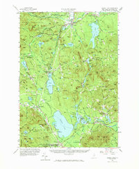
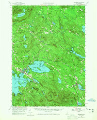
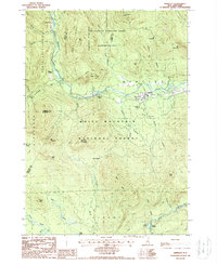
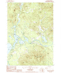
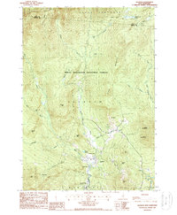
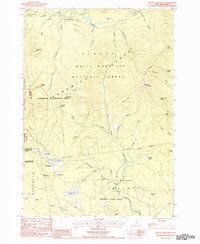
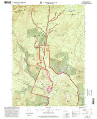
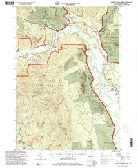
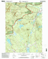
Historical Maps of Jackson Through Time
46 maps found
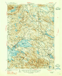
1928 Wolfeboro
Carroll County, NH
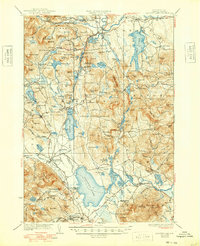
1930 Ossipee Lake
Carroll County, NH
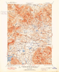
1931 Mt. Chocorua
Carroll County, NH
1958 Mt. Chocorua
Carroll County, NH
1958 Ossipee Lake
Carroll County, NH
1958 Wolfeboro
Carroll County, NH
1987 Bartlett
Carroll County, NH

1987 Chatham
Carroll County, NH
1987 Conway
Carroll County, NH
1987 Freedom
Carroll County, NH
1987 Jackson
Carroll County, NH
1987 Mount Chocorua
Carroll County, NH
1987 North Conway East
Carroll County, NH
1987 North Conway West
Carroll County, NH
1987 Ossipee
Carroll County, NH
1987 Ossipee Lake
Carroll County, NH
1987 Silver Lake
Carroll County, NH
1987 Tamworth
Carroll County, NH
1987 Tuftonboro
Carroll County, NH
1987 Wolfeboro
Carroll County, NH

1995 Bartlett
Carroll County, NH
1995 Chatham
Carroll County, NH
1995 Jackson
Carroll County, NH

1995 Mount Chocorua
Carroll County, NH

1995 North Conway East
Carroll County, NH
1995 North Conway West
Carroll County, NH
1995 Silver Lake
Carroll County, NH
1998 Conway
Carroll County, NH
1998 Ossipee
Carroll County, NH
1998 Ossipee Lake
Carroll County, NH

1998 Tamworth
Carroll County, NH
2000 Tuftonboro
Carroll County, NH
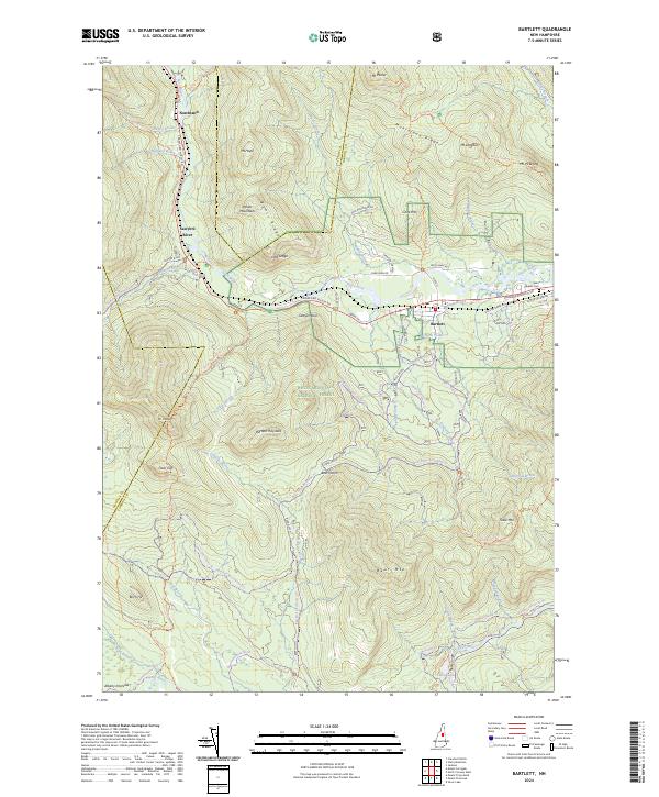
2024 Bartlett
Carroll County, NH
2024 Chatham
Carroll County, NH
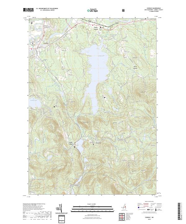
2024 Conway
Carroll County, NH
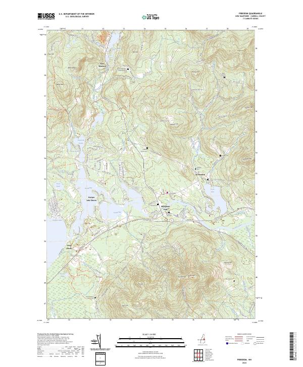
2024 Freedom
Carroll County, NH
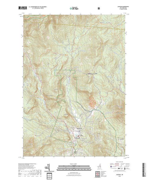
2024 Jackson
Carroll County, NH
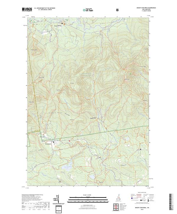
2024 Mount Chocorua
Carroll County, NH
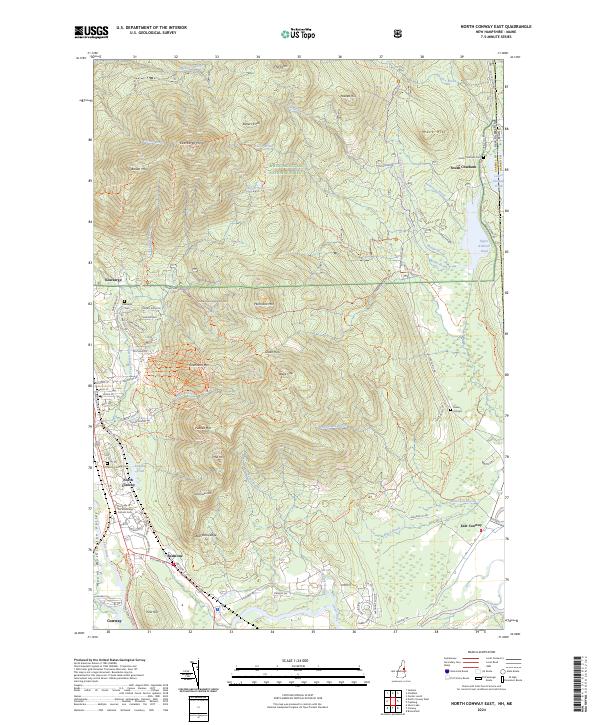
2024 North Conway East
Carroll County, NH
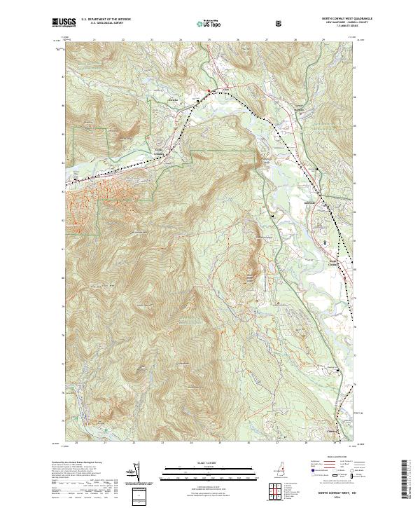
2024 North Conway West
Carroll County, NH
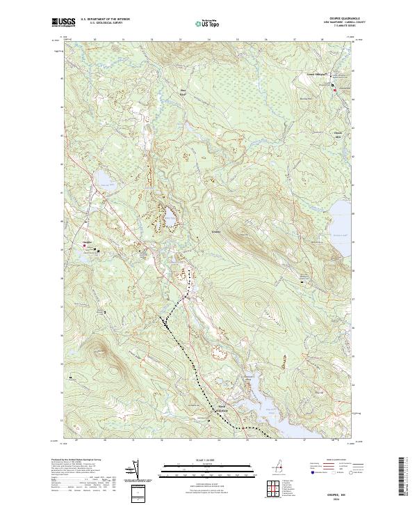
2024 Ossipee
Carroll County, NH
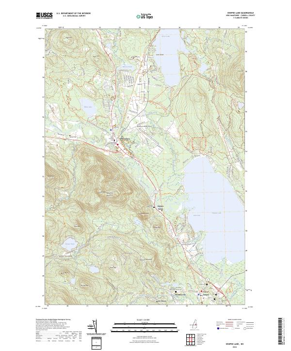
2024 Ossipee Lake
Carroll County, NH
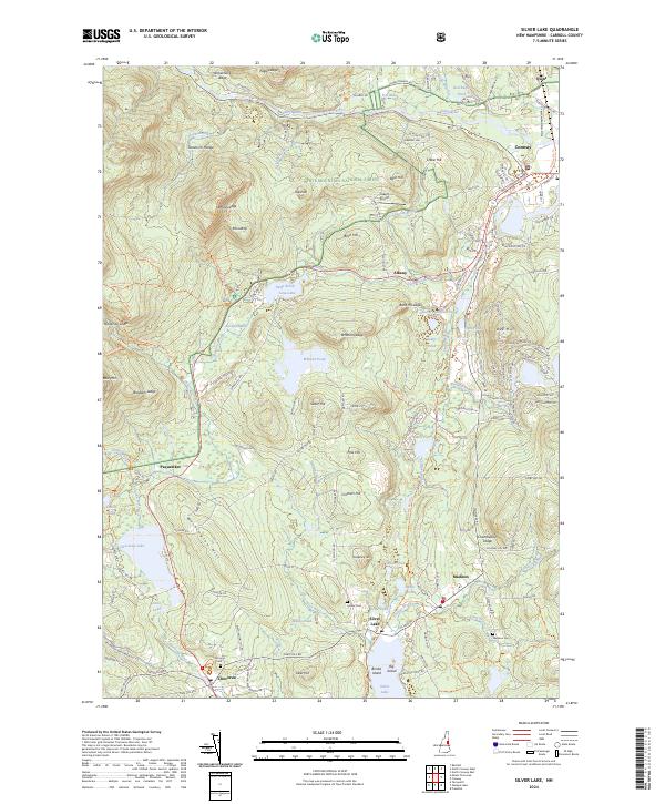
2024 Silver Lake
Carroll County, NH
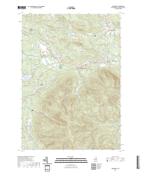
2024 Tamworth
Carroll County, NH
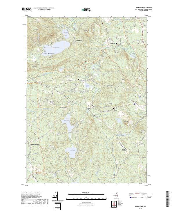
2024 Tuftonboro
Carroll County, NH
2024 Wolfeboro
Carroll County, NH