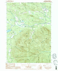
1987 Map of Tamworth
USGS Topo · Published 1987About this map
The Ossipee Mountains dominate the southern half of this landscape, where high peaks like Mt Whittier and Black Snout Mtn overlook a dense network of mountain brooks. Settlement is concentrated along the river valleys to the north, particularly where the Bearcamp River and Swift River cut through the terrain. Small communities such as Tamworth, Whittier, and South Tamworth are linked by winding valley roads, with several Cem sites and Gravel Pits marking the local land use.
Find a feature on this map
62 named features on this map. Tap any name to fly to it.
Don’t see what you’re looking for? This feature index may not catch every label — zoom into the map to look around manually.
Map Details
Editions of this 1987 Tamworth Map
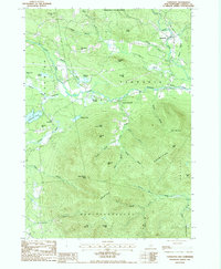
2 editions found
Other maps of this area

1909 · Winnepesaukee
USGS Topo · 1:62,500

1928 · Wolfeboro
USGS Topo · 1:62,500

1930 · Ossipee Lake
USGS Topo · 1:62,500

1931 · Mt. Chocorua
USGS Topo · 1:62,500

1949 · Portland
USGS Topo · 1:250,000

1956 · Winnipesaukee
USGS Topo · 1:62,500

1956 · Portland
USGS Topo · 1:250,000

1958 · Ossipee Lake
USGS Topo · 1:62,500

1958 · Wolfeboro
USGS Topo · 1:62,500

1958 · Mt. Chocorua
USGS Topo · 1:62,500