
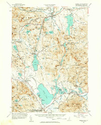
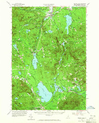
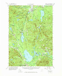
1958 Map of Ossipee Lake
USGS Topo · Published 1960About this map
The Saco River and Swift River converge near Conway, anchoring a landscape defined by the transition from the eastern White Mountain National Forest to the lake-studded lowlands of Carroll County. By the late 1950s, this region was a well-established hub for both transit and recreation, visible in the alignment of the Boston and Maine Railroad and the newly designated Kancamagus Highway. Local history is deeply embedded in the terrain, from the massive glacial erratic known as Madison Boulder to the numerous family and village burial grounds such as Conway Village Cem and Albany Cem.
Find a feature on this map
153 named features on this map. Tap any name to fly to it.
Don’t see what you’re looking for? This feature index may not catch every label — zoom into the map to look around manually.
Map Details
Editions of this 1958 Ossipee Lake Map
4 editions found
Other maps of this area

1891 · Newfield
USGS Topo · 1:62,500

1893 · Newfield
USGS Topo · 1:62,500

1894 · North Conway
USGS Topo · 1:62,500

1895 · Crawford Notch
USGS Topo · 1:62,500

1896 · Crawford Notch
USGS Topo · 1:62,500

1896 · North Conway
USGS Topo · 1:62,500

1909 · Winnepesaukee
USGS Topo · 1:62,500

1909 · Fryeburg
USGS Topo · 1:62,500

1910 · Kezar Falls
USGS Topo · 1:48,000

1911 · Fryeburg
USGS Topo · 1:62,500