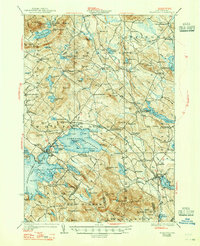
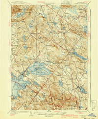
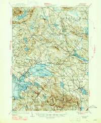
1928 Map of Wolfeboro
USGS Topo · Published 1947About this map
Wolfeboro serves as the hub of this 1925 survey, established on the shores of Wolfeboro Bay and Crescent Lake. The landscape is a complex network of glacial ponds and granite peaks, anchored by the sprawling Lake Wentworth and its Seven Sisters Islands. To the north, the Ossipee Mts rise sharply, including peaks like Canaan Mtn and Sentinel Mtn. The region's early 20th-century character is defined by a decentralized pattern of small settlements and neighborhood institutions, including Water Village, Roland Park, and Leighton Corners.
Find a feature on this map
169 named features on this map. Tap any name to fly to it.
Don’t see what you’re looking for? This feature index may not catch every label — zoom into the map to look around manually.
Map Details
Editions of this 1928 Wolfeboro Map
7 editions found

Other maps of this area

1891 · Berwick
USGS Topo · 1:62,500

1891 · Newfield
USGS Topo · 1:62,500

1893 · Berwick
USGS Topo · 1:62,500

1893 · Newfield
USGS Topo · 1:62,500

1909 · Winnepesaukee
USGS Topo · 1:62,500

1910 · Kezar Falls
USGS Topo · 1:48,000

1911 · Kezar Falls
USGS Topo · 1:62,500

1919 · Gilmanton
USGS Topo · 1:62,500

1919 · Alton
USGS Topo · 1:62,500

1927 · Gilmanton
USGS Topo · 1:62,500