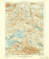
1928 Map of Wolfeboro
USGS Topo · Published 1936About this map
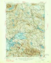
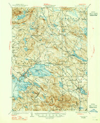
Wolfeboro and its surrounding lakeside hamlets serve as the focal point for this survey of the eastern lakes region during the mid-1920s. The Boston and Maine Railroad provides the primary industrial spine, connecting centers like Wolfeboro Falls and Sanbornville to the wider New England network. The landscape is defined by the expansive waters of Lake Wentworth and Winnipesaukee Lake, which are dotted with numerous named islands such as Stamp Act I and Jockey Cap I.
Find a feature on this map
150 named features on this map. Tap any name to fly to it.
Don’t see what you’re looking for? This feature index may not catch every label — zoom into the map to look around manually.
Map Details
Editions of this 1928 Wolfeboro Map
7 editions found

Other maps of this area

1891 · Berwick
USGS Topo · 1:62,500

1891 · Newfield
USGS Topo · 1:62,500

1893 · Berwick
USGS Topo · 1:62,500

1893 · Newfield
USGS Topo · 1:62,500

1909 · Winnepesaukee
USGS Topo · 1:62,500

1910 · Kezar Falls
USGS Topo · 1:48,000

1911 · Kezar Falls
USGS Topo · 1:62,500

1919 · Gilmanton
USGS Topo · 1:62,500

1919 · Alton
USGS Topo · 1:62,500

1927 · Gilmanton
USGS Topo · 1:62,500